
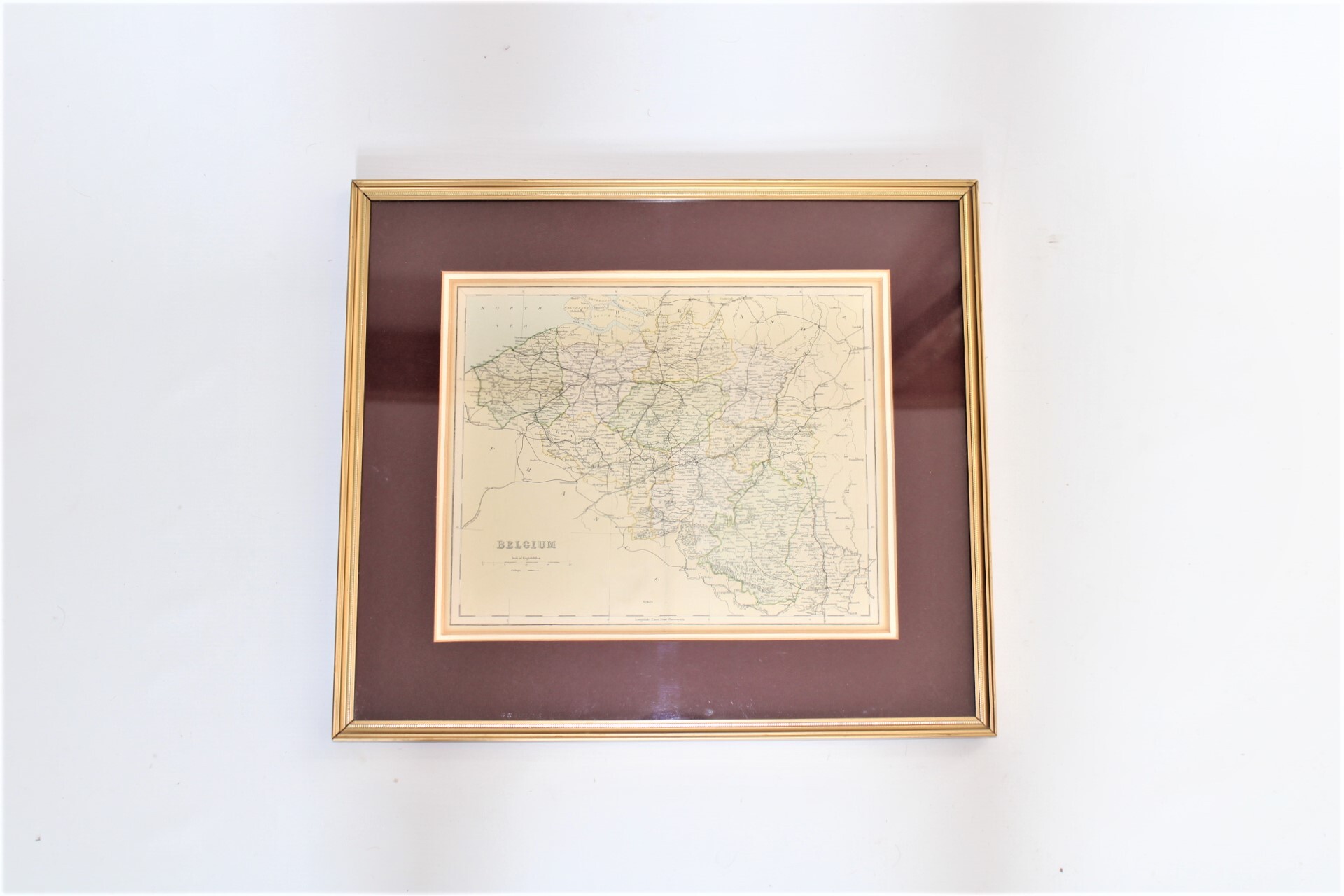
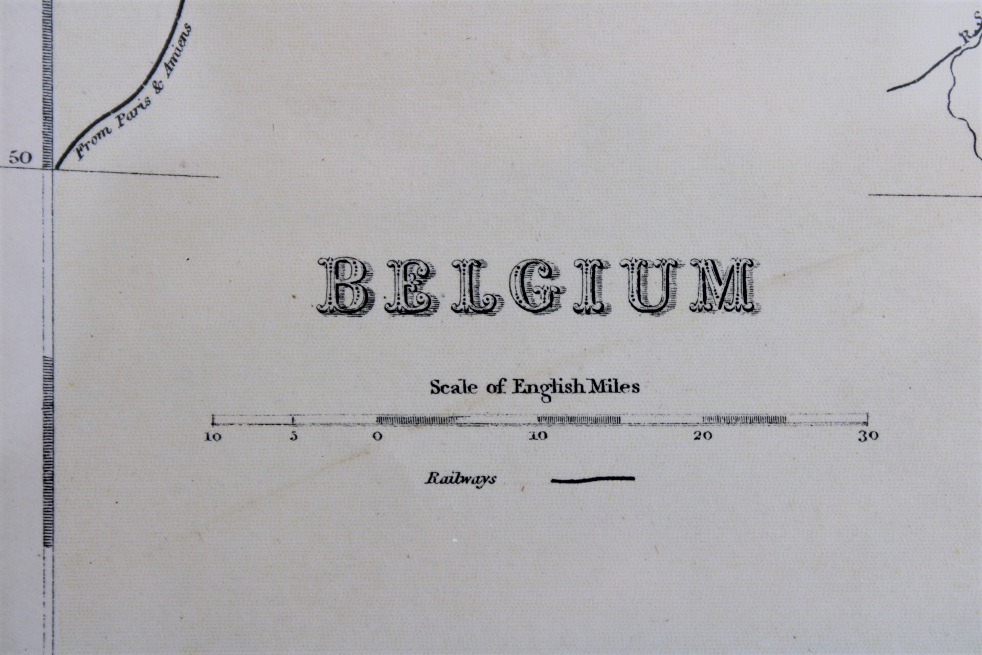
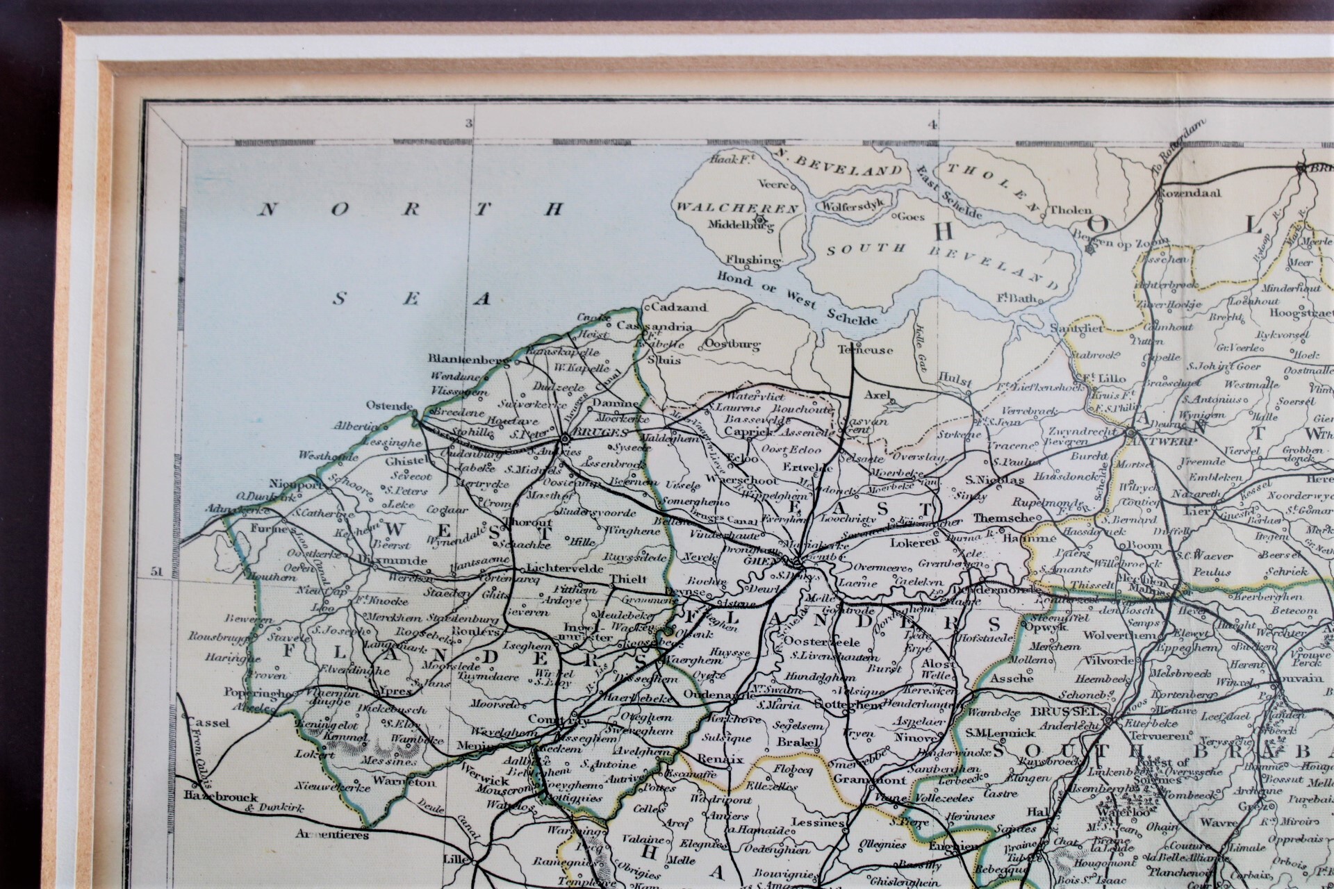
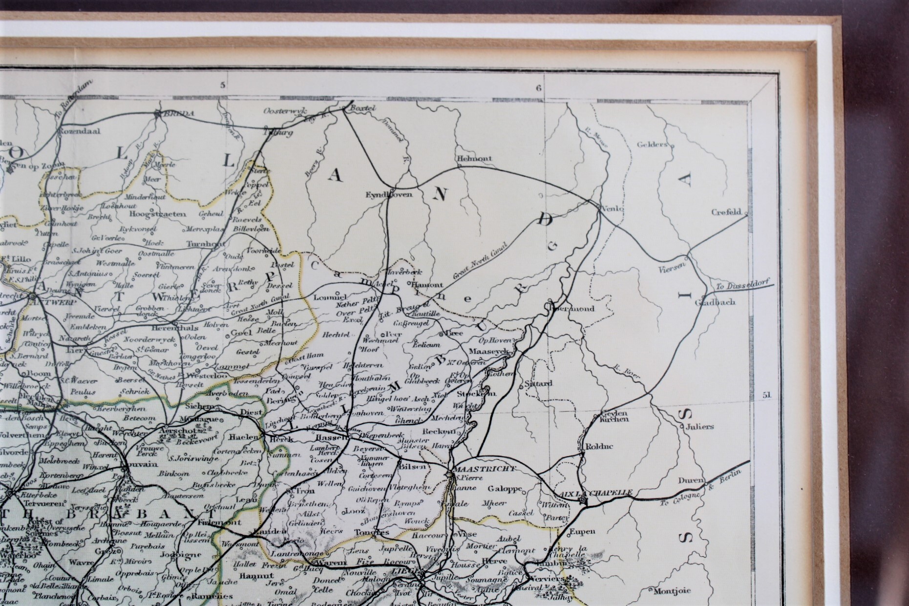
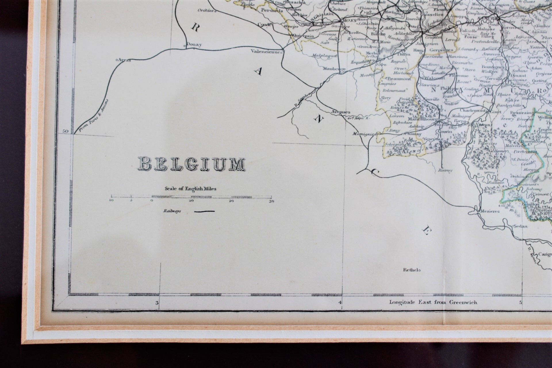
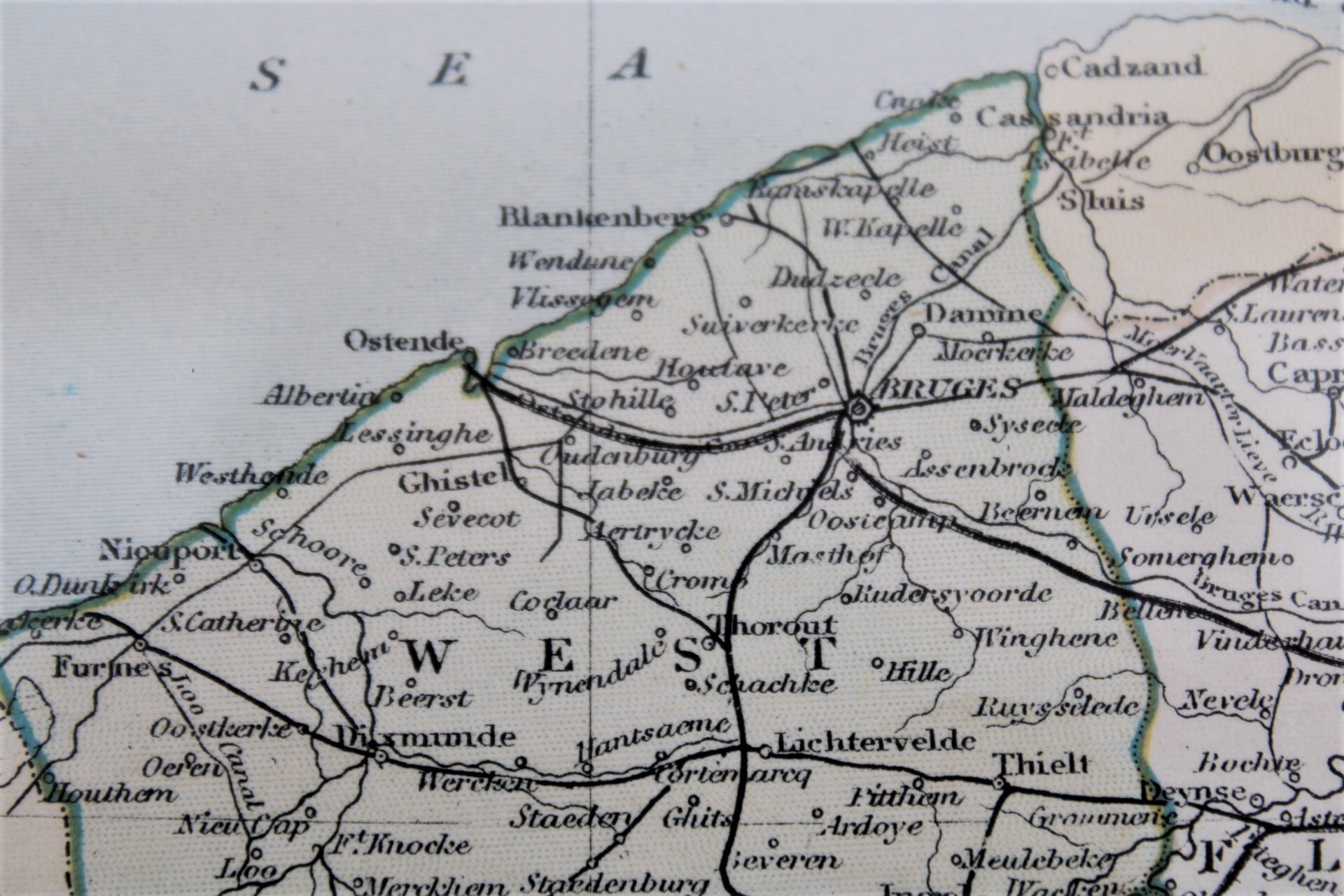
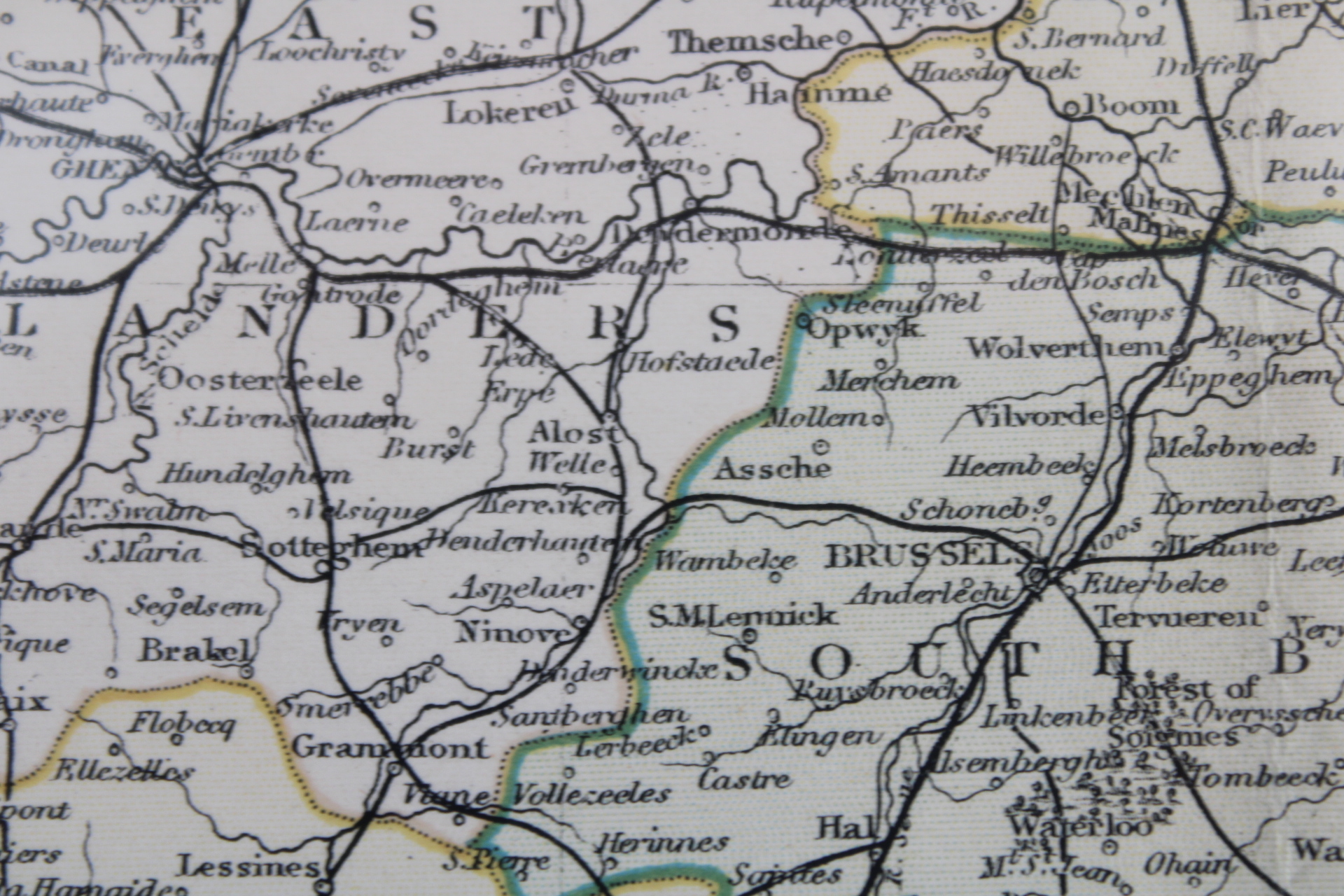
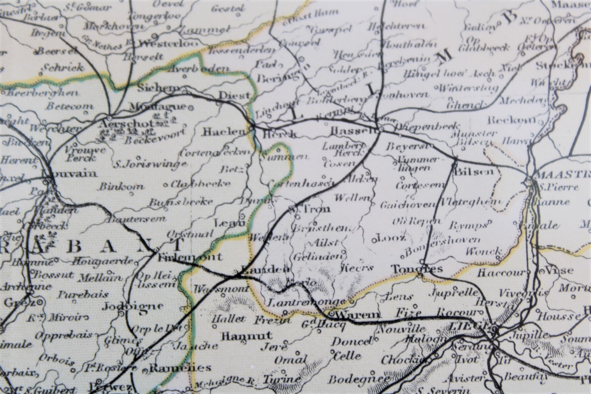
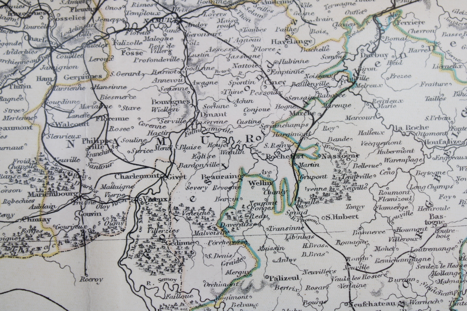
carte de Belgique, 1880
80,00 €
- Description
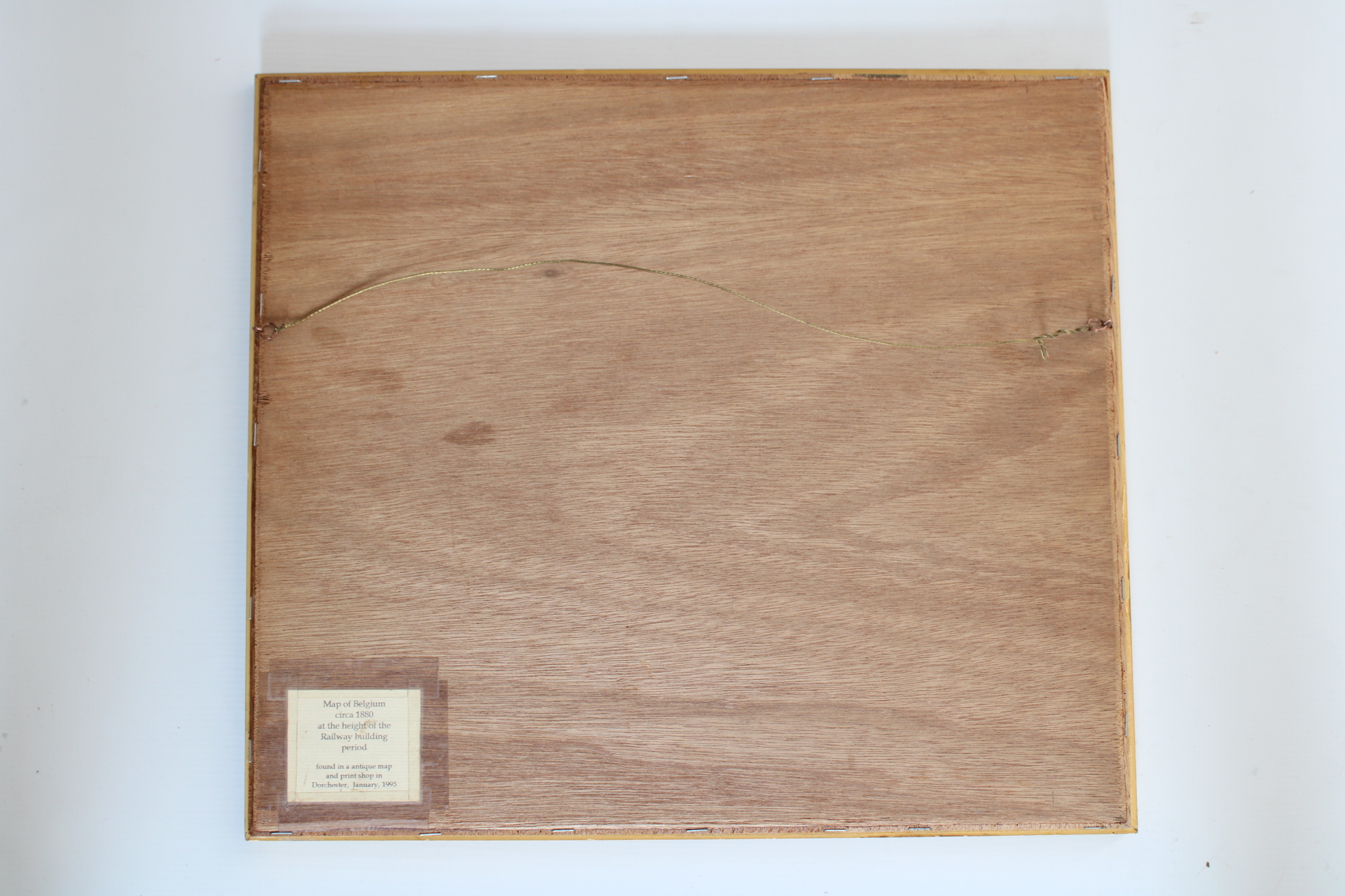
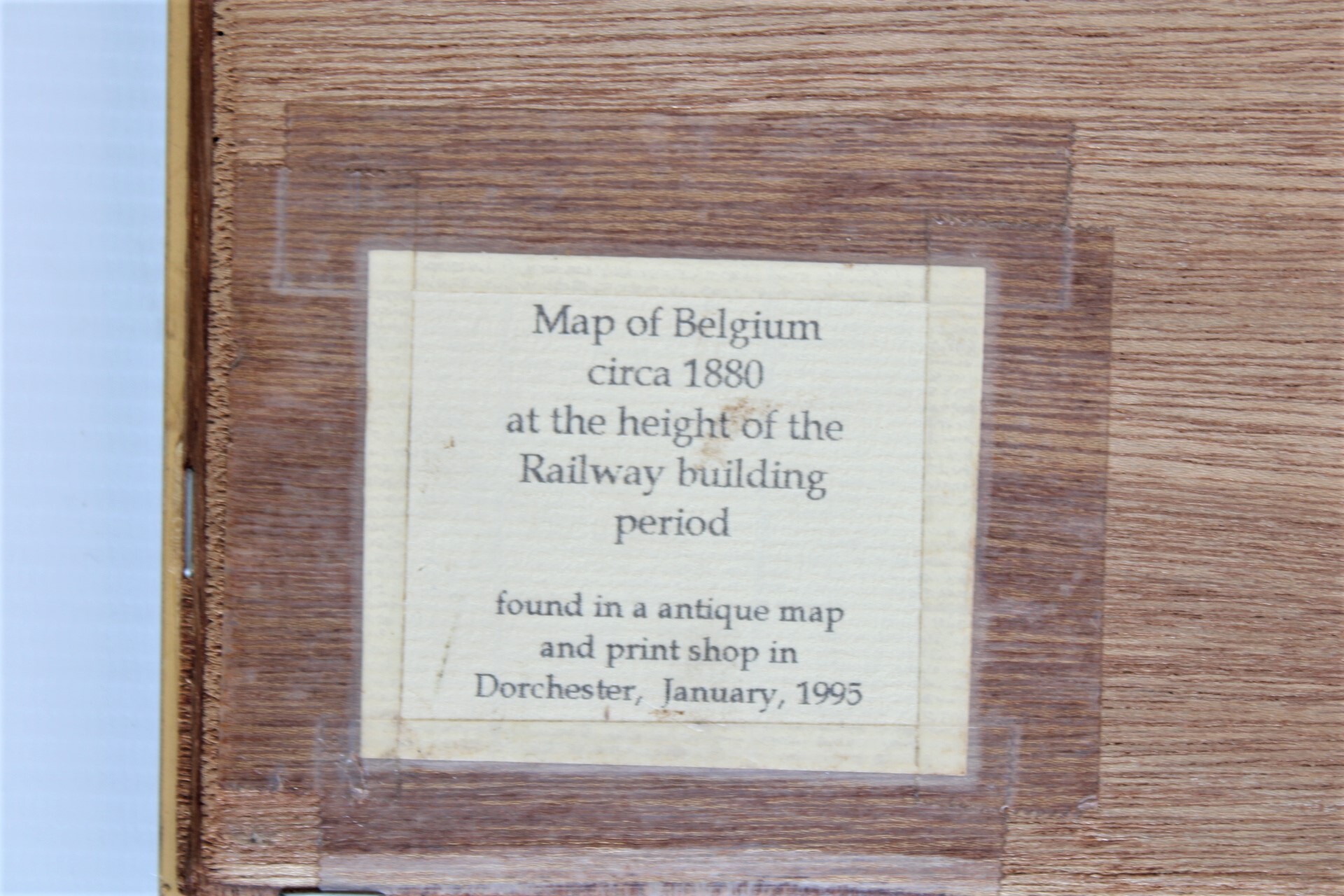
Ancienne gravure de Belgique, 19ième siècle. Similaire à "Appleton's Modern Atlas of the Earth". Gravé par Archer, publié par Collins. Texte sur le dos: "Map of belgium circa 1880, at the height of the Railway building period. Found in a antique map and print shop in Dorchester, january 1995".
Dim: 29,5*24 cm, cadre 43*38 cm
- Frais d'envoi
- Envoi possible ou à récupérer au magasin