
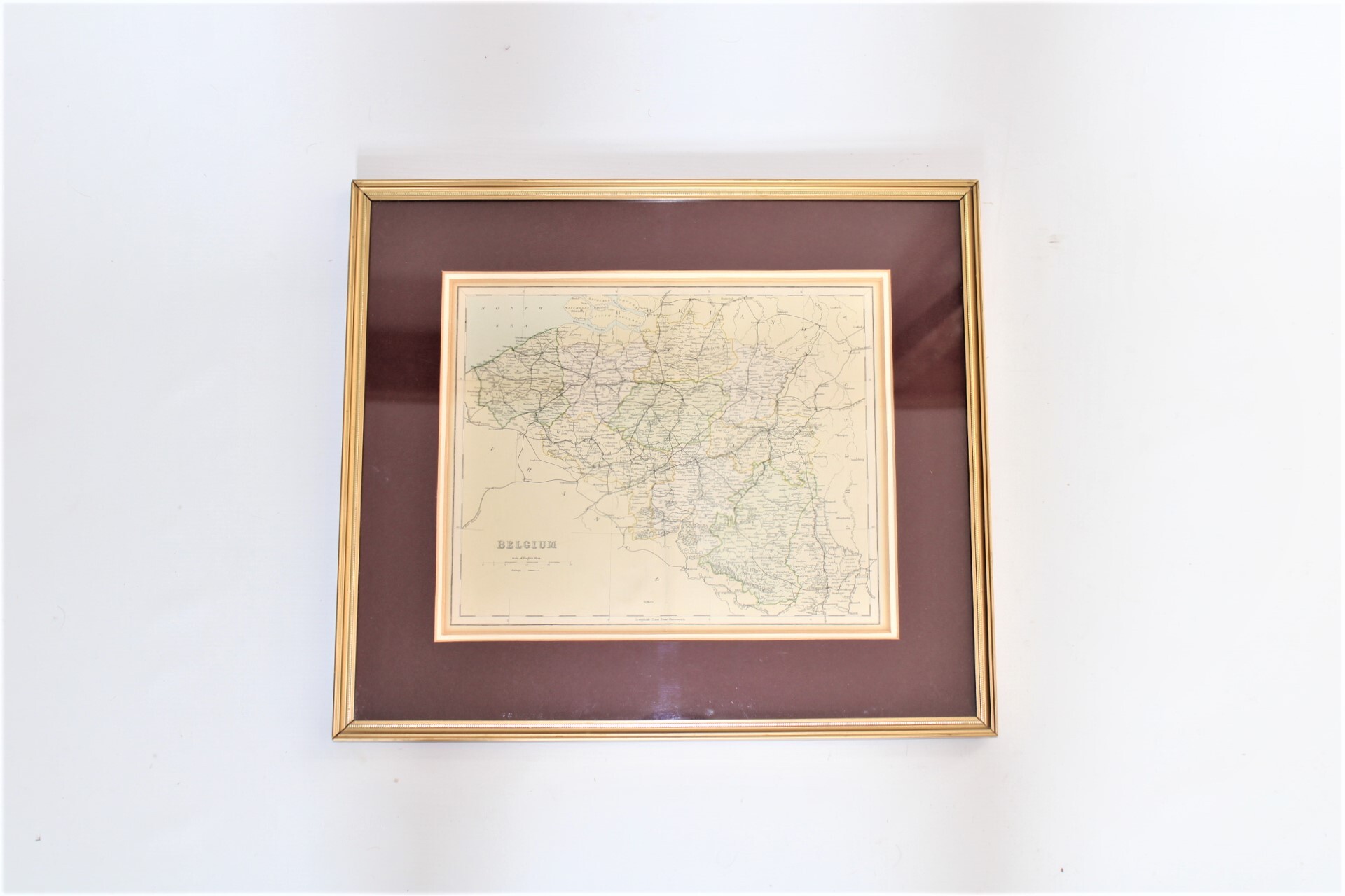
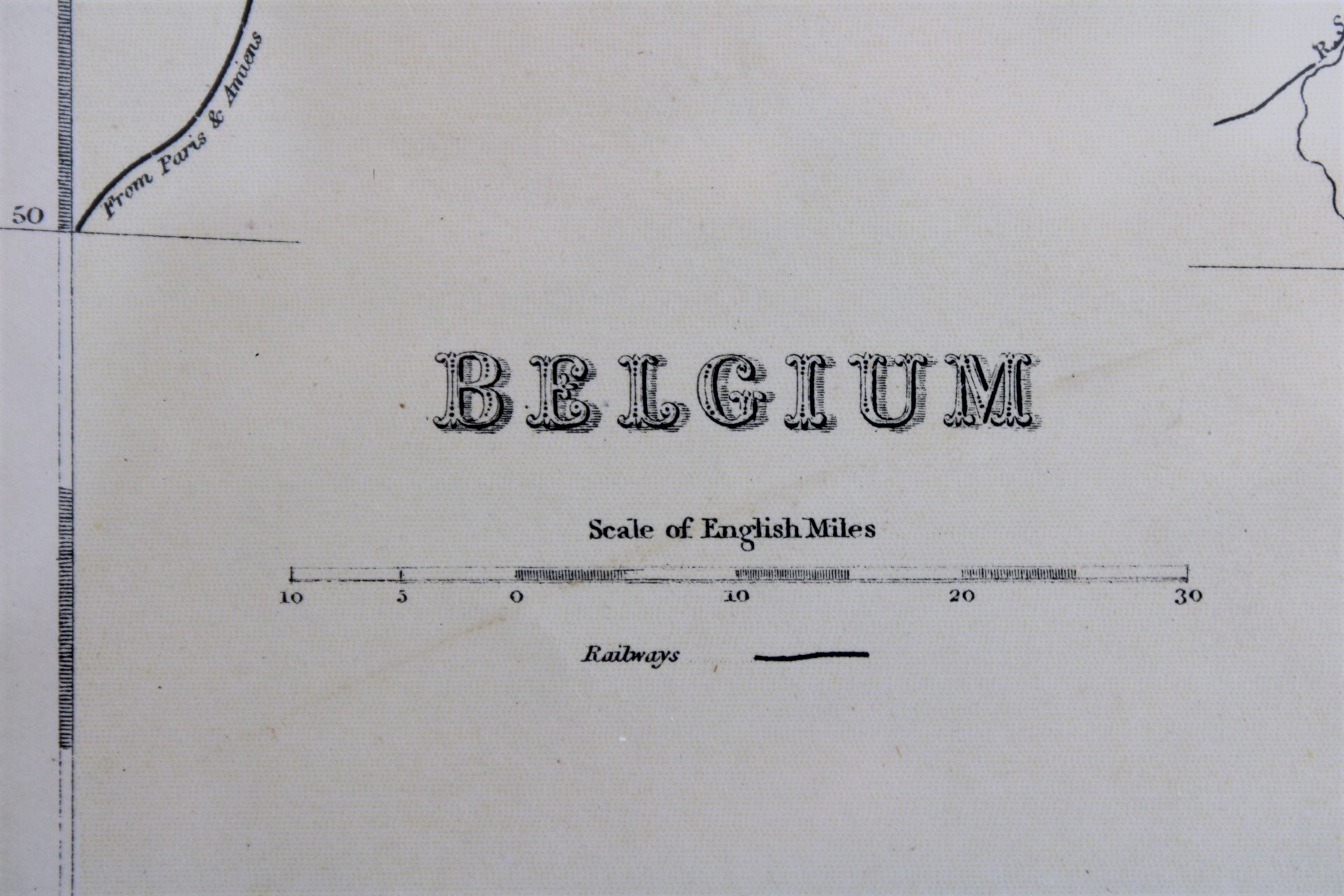
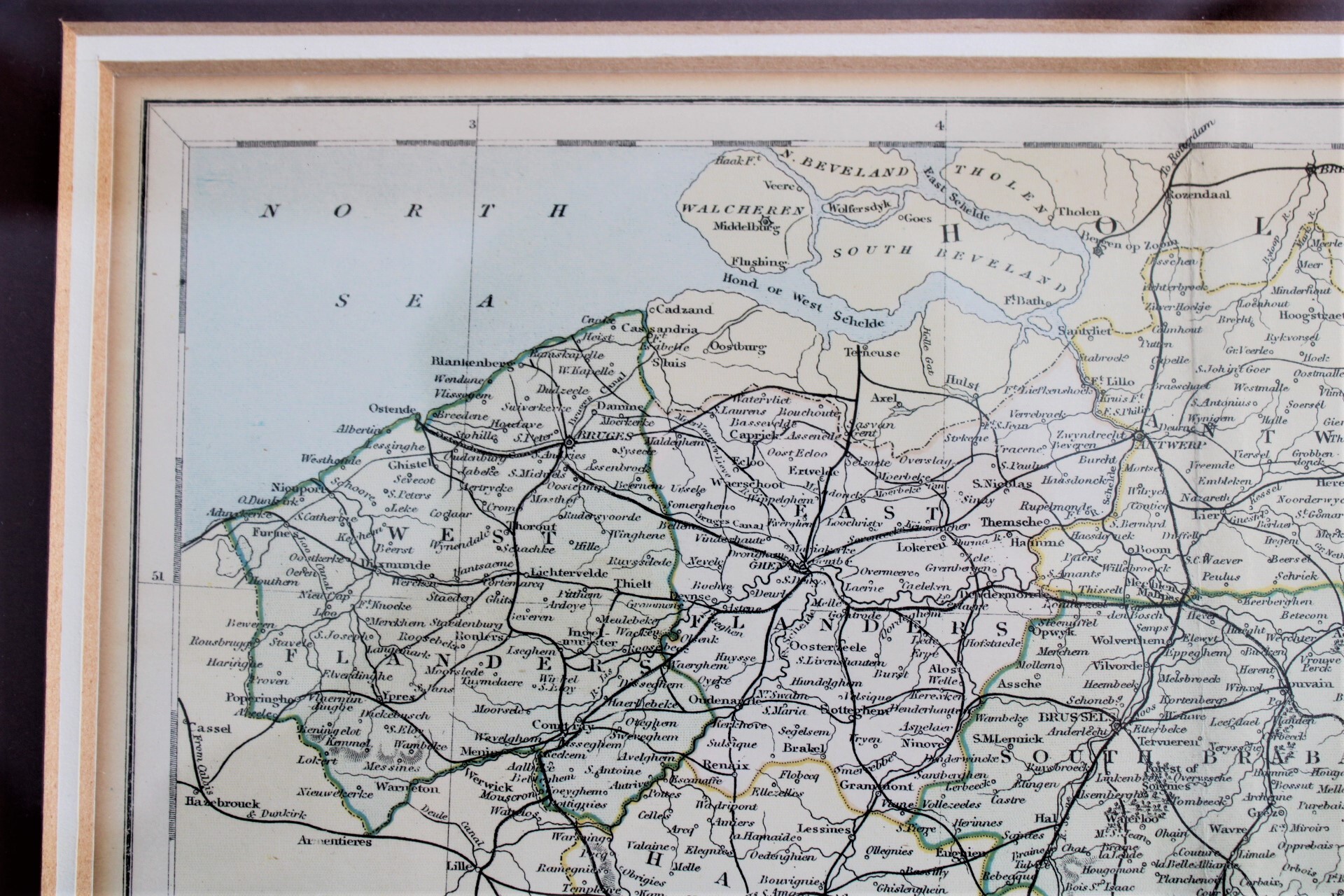
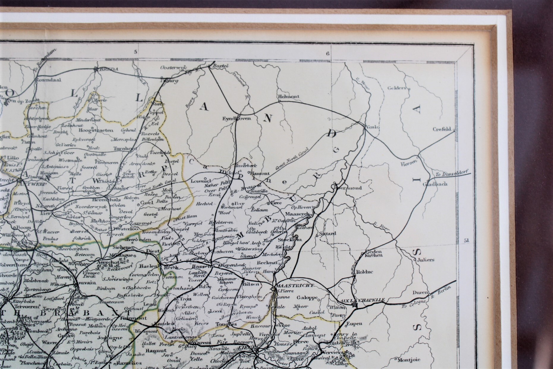
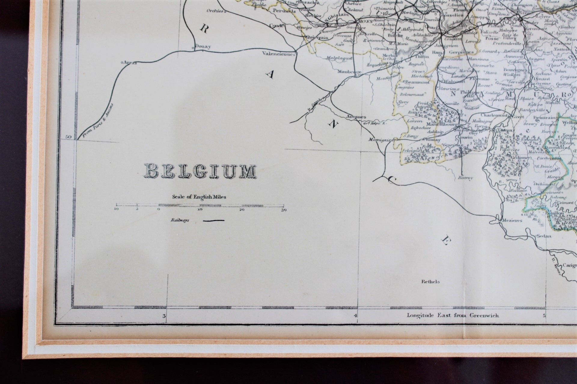
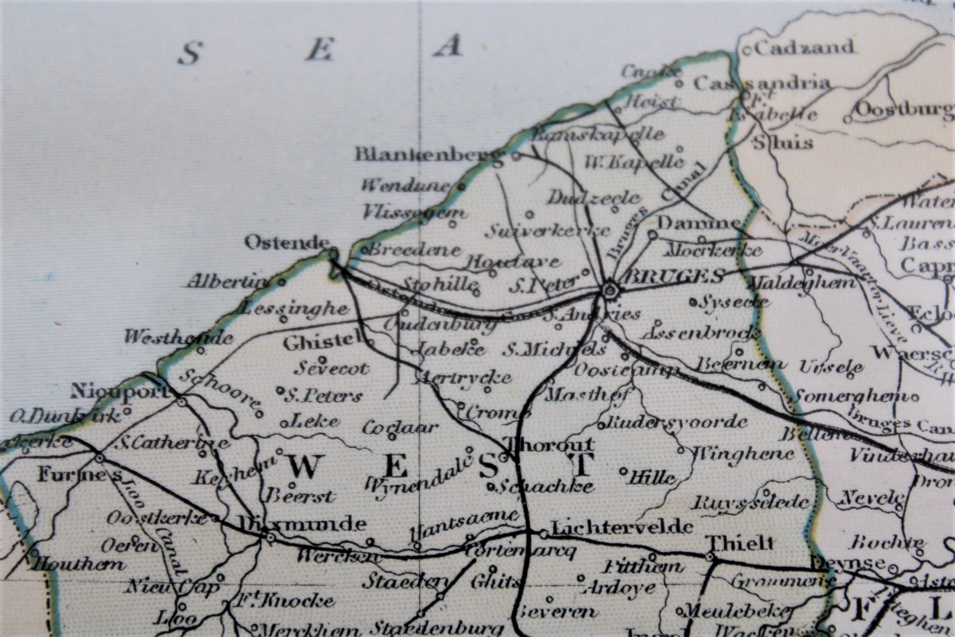
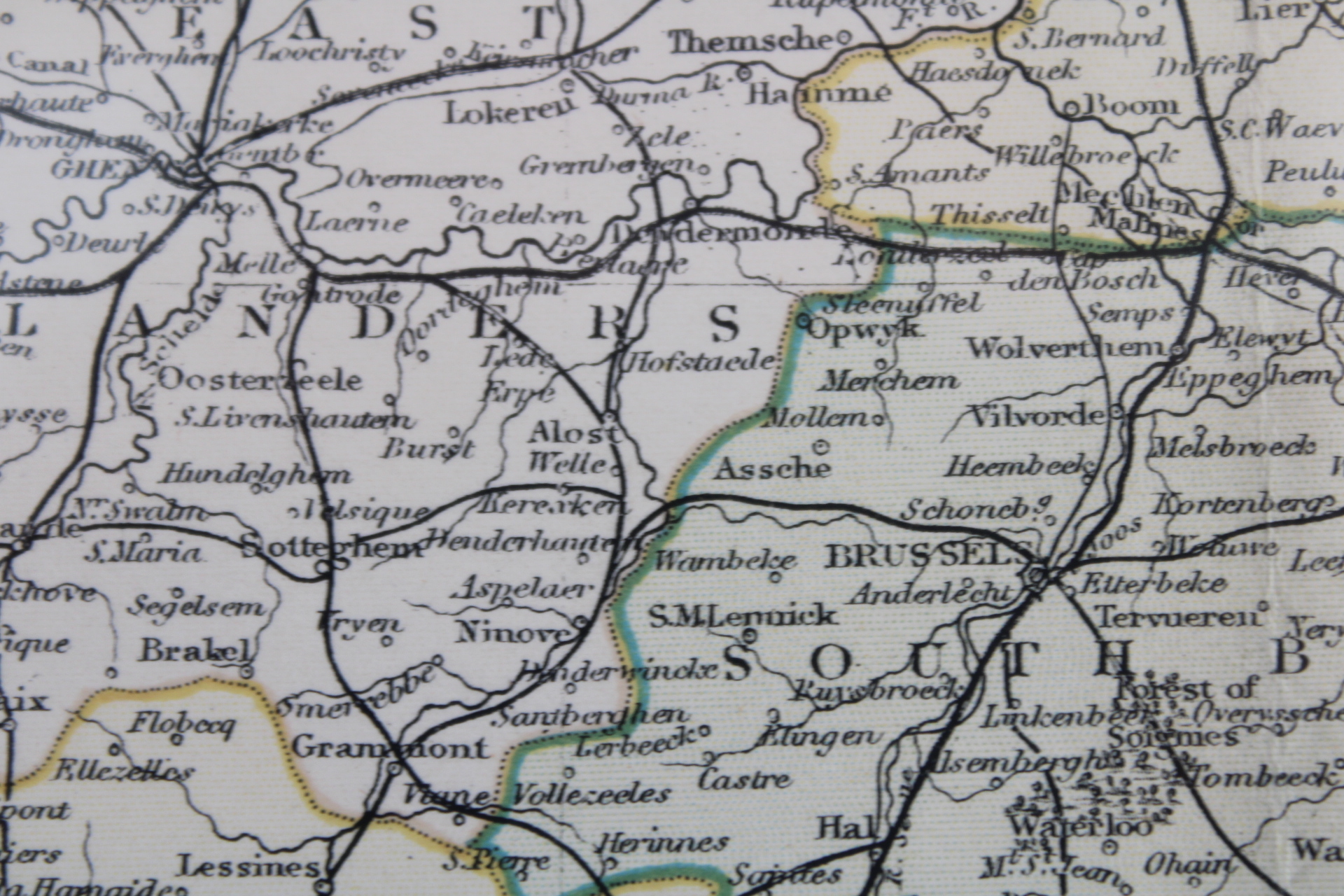
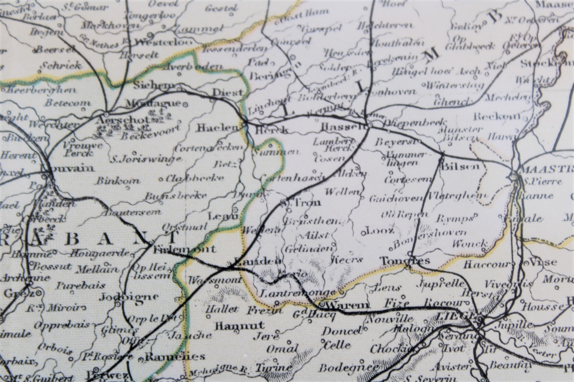
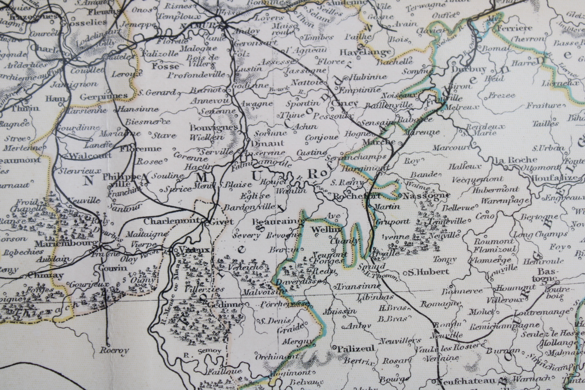
old map of Belgium, 1880
€80,00
- Description
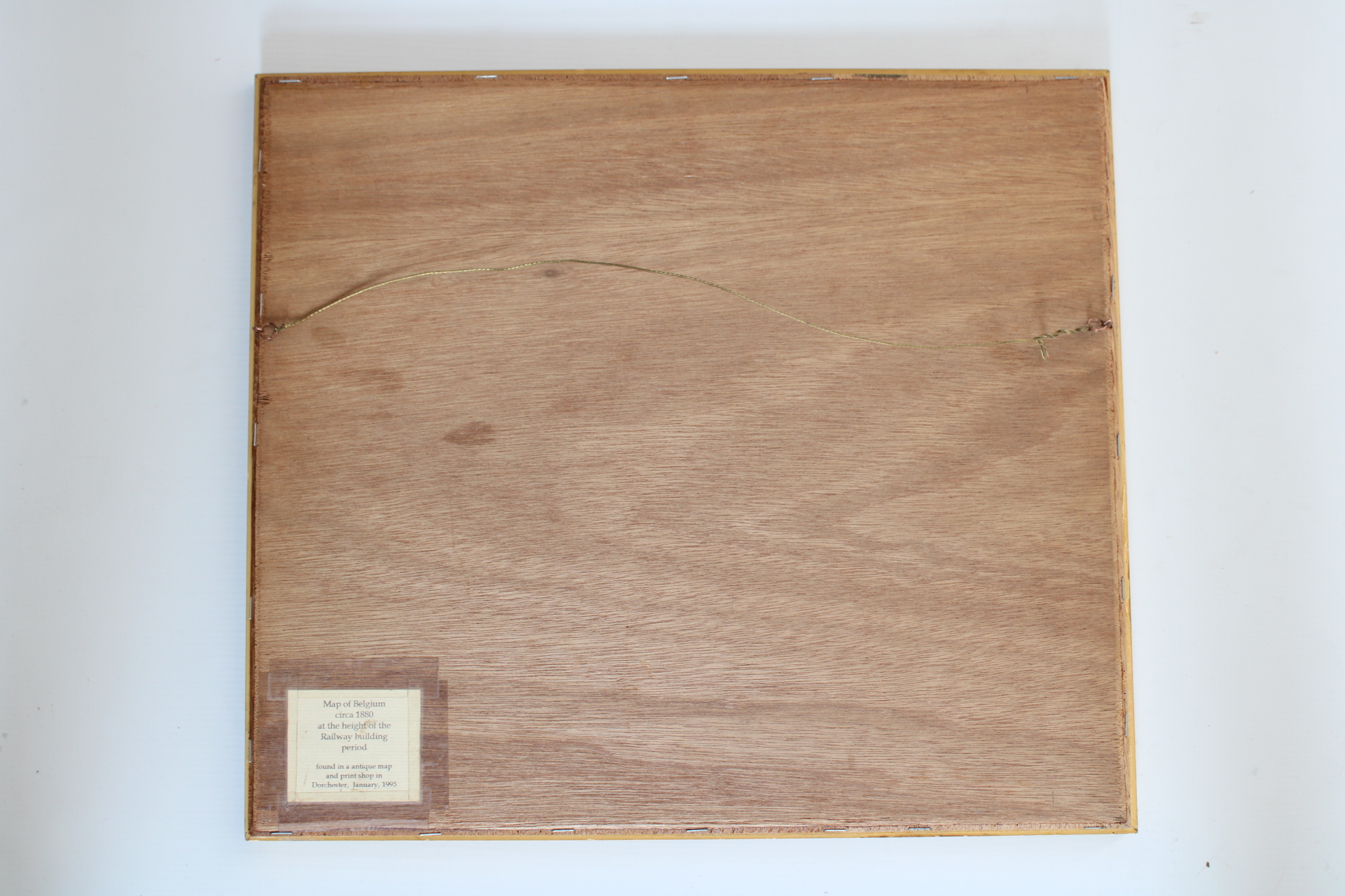
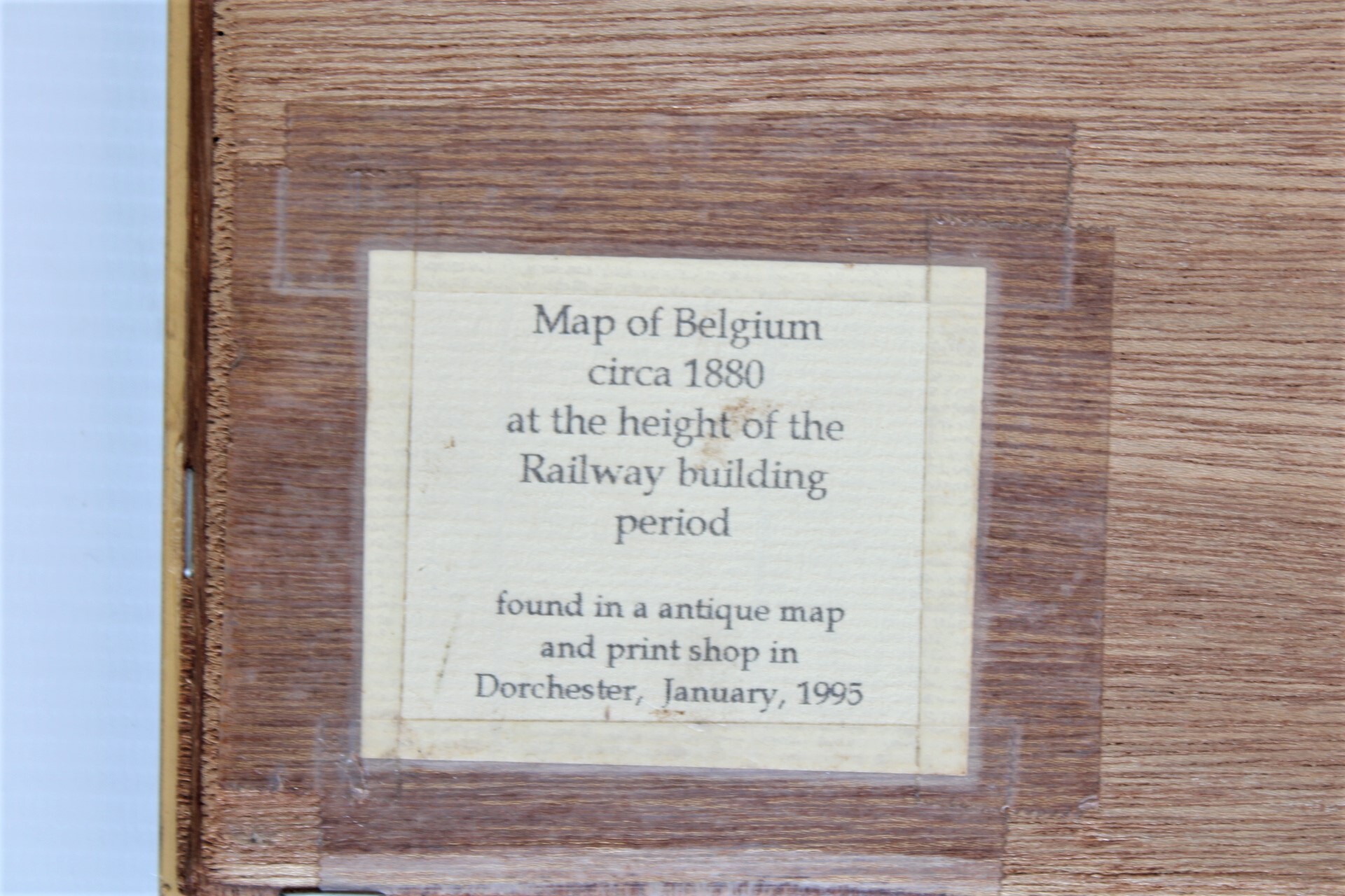
Antique engraving of Belgium, second half 19th century, similar to "Appleton's Modern Atlas of the Earth". Engraved by Archer, published by Collins. Slightly colored map, with center fold. Gilded frame. Text on the back: "Map of belgium circa 1880, at the height of the Railway building period. Found in a antique map and print shop in Dorchester, january 1995".
Dim: 29,5*24 cm, frame 43*38 cm
- Shipping Costs
- Shipment possible or pick-up at the store