
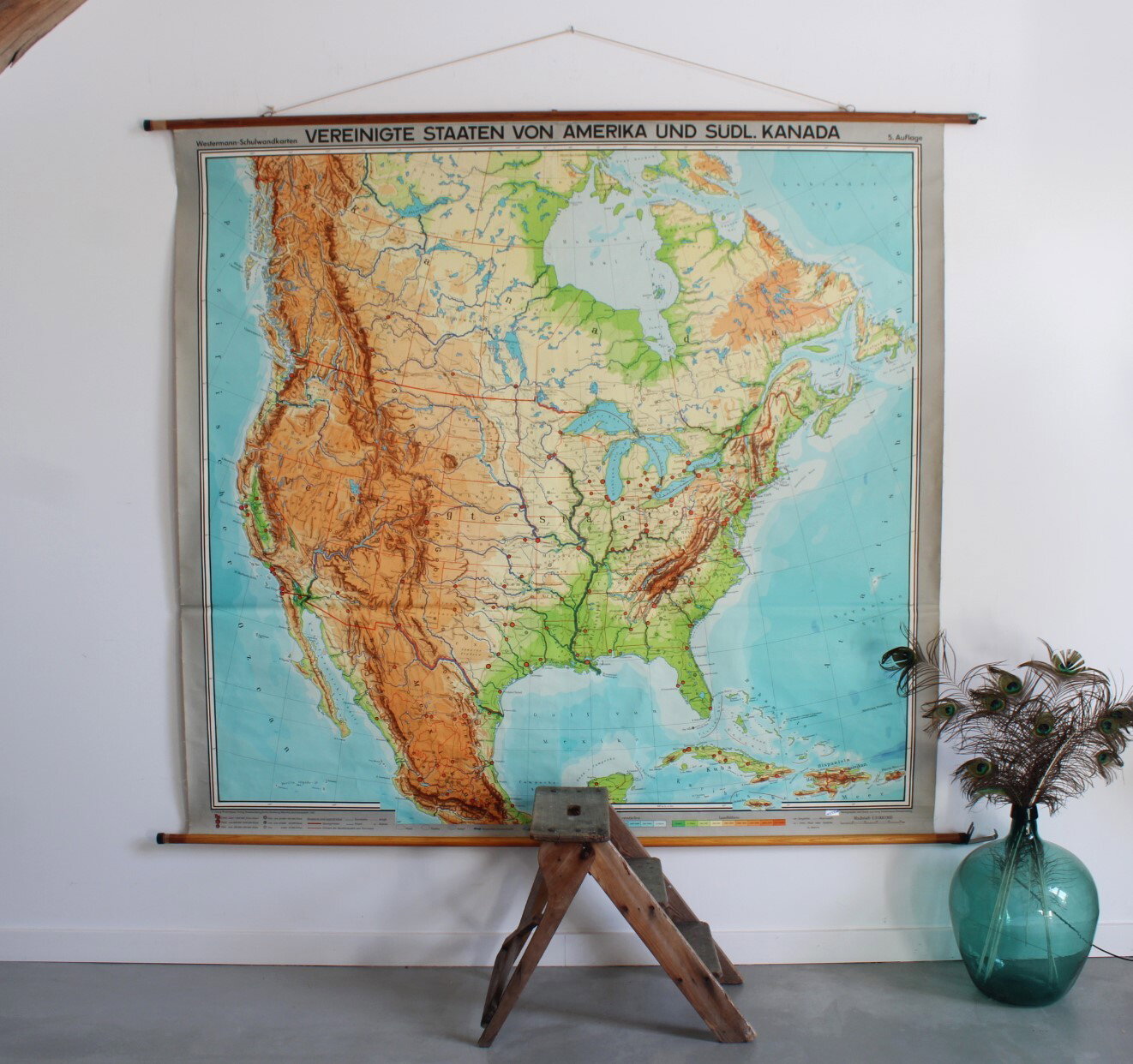
vintage school map USA and Canada
Sold
Sorry, this product is not available anymore. Follow us on Facebook or subscribe to our newletter to discover our new arrivals.
- Description
Very large wall chart of the United States and southern Canada. Physical map showing elevations and the names of mountains, rivers, lakes, cities, etc.
In good condition. Published by Westermann, Germany. 1965.
Height 196 cm, width 204 cm (230 cm including rods).
- Shipping Costs
- in store pick-up only