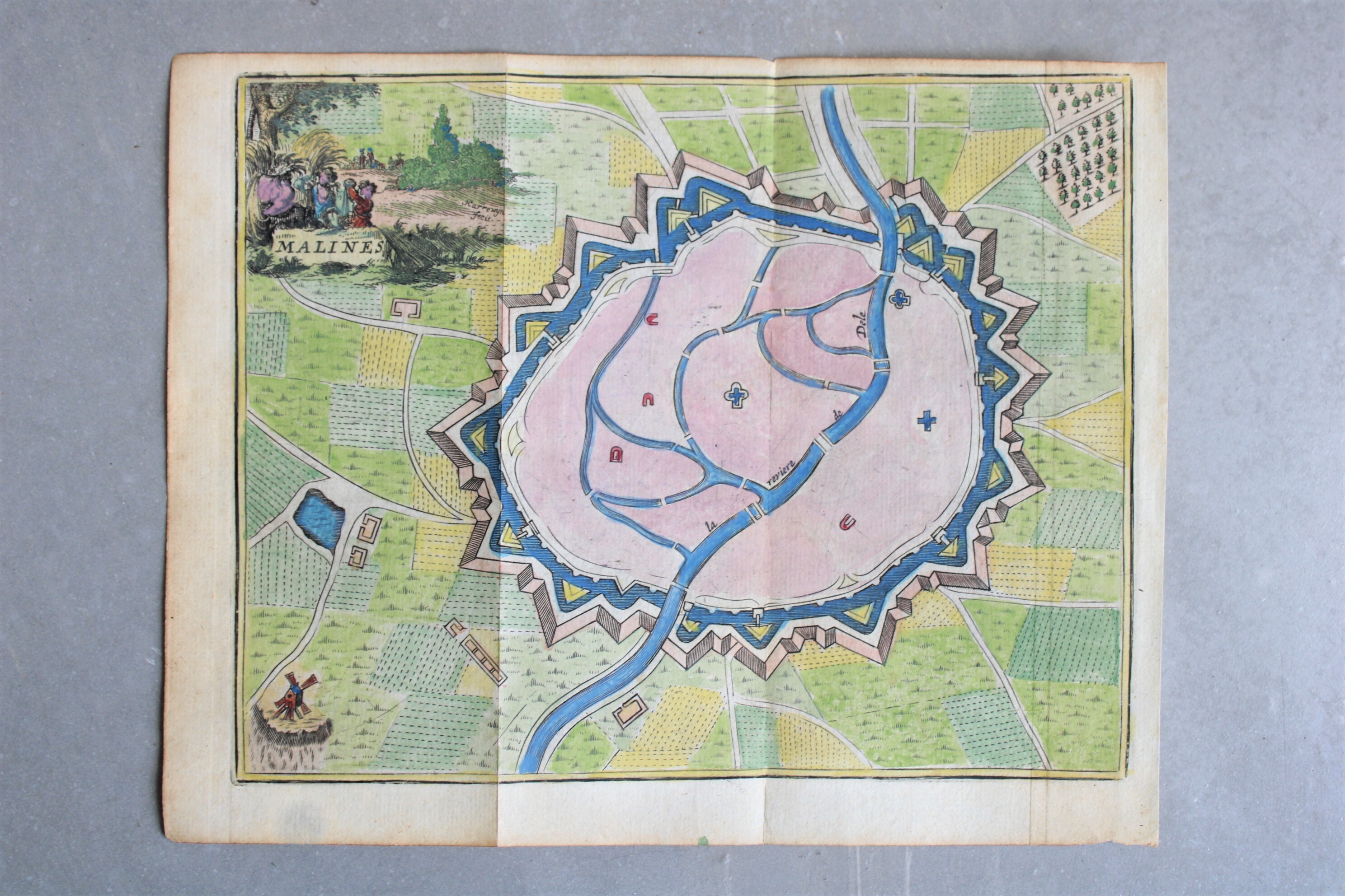
city map Mechelen, ca 1710
Sold
Sorry, this product is not available anymore. Follow us on Facebook or subscribe to our newletter to discover our new arrivals.
- Description
An antique hand colored engraving of the city map of Mechelen, entitled 'Malines'. City map on which the river Dyle with its side arms and waters is clearly visible. Signed: Harrewijn fecit. Appeared in "Les Délices des Pays Bas", published by Foppens in Brussels ca. 1710.
Dim: +/- 20*16 cm.
- Shipping Costs
- Shipment possible or pick-up at the store