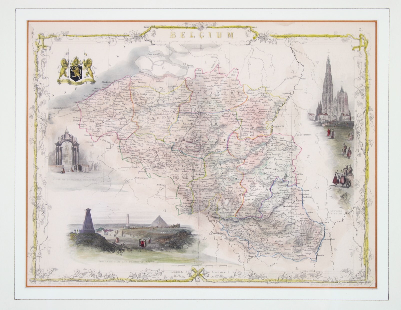
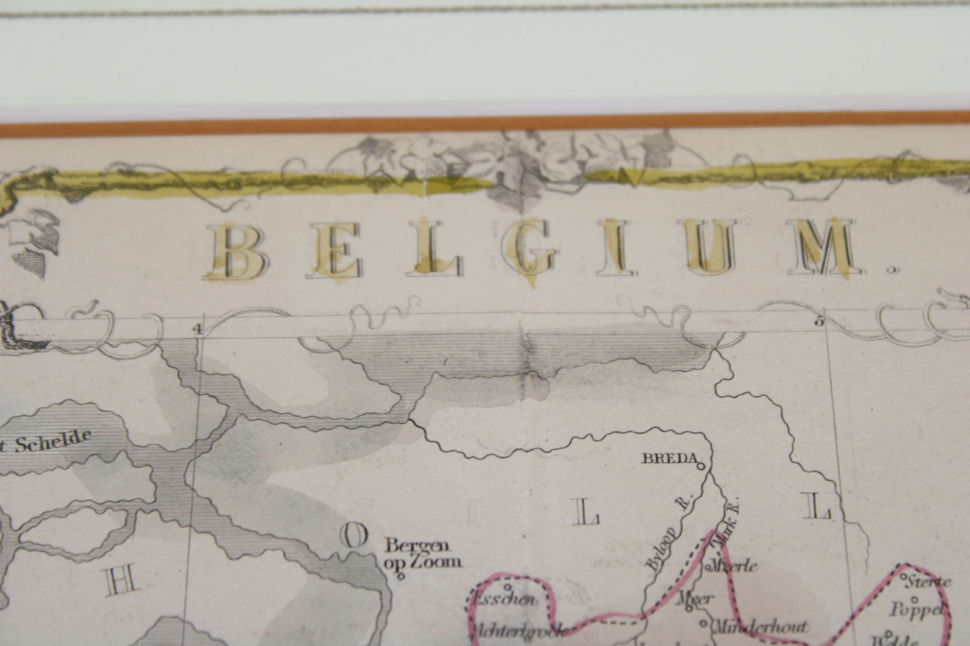
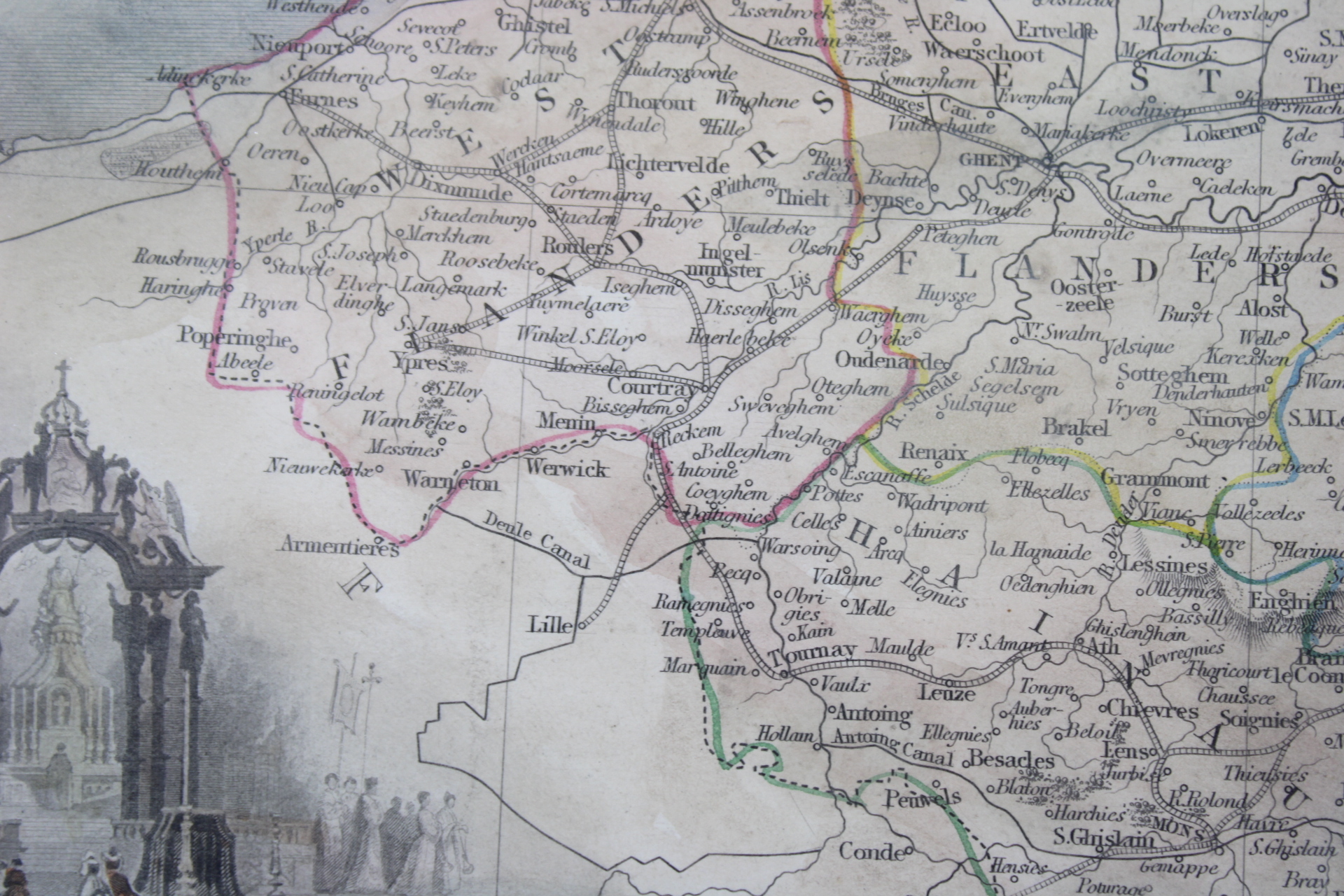
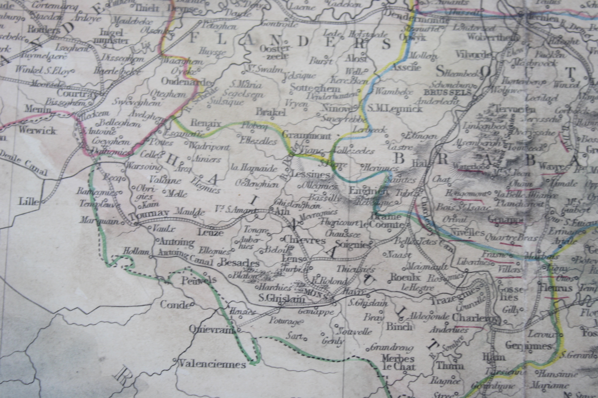
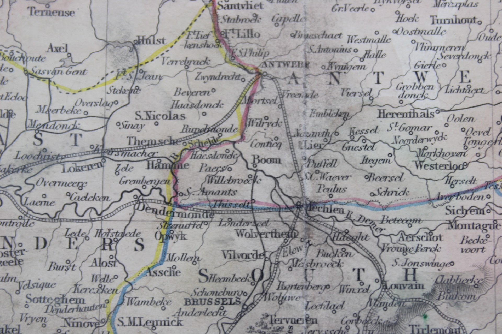
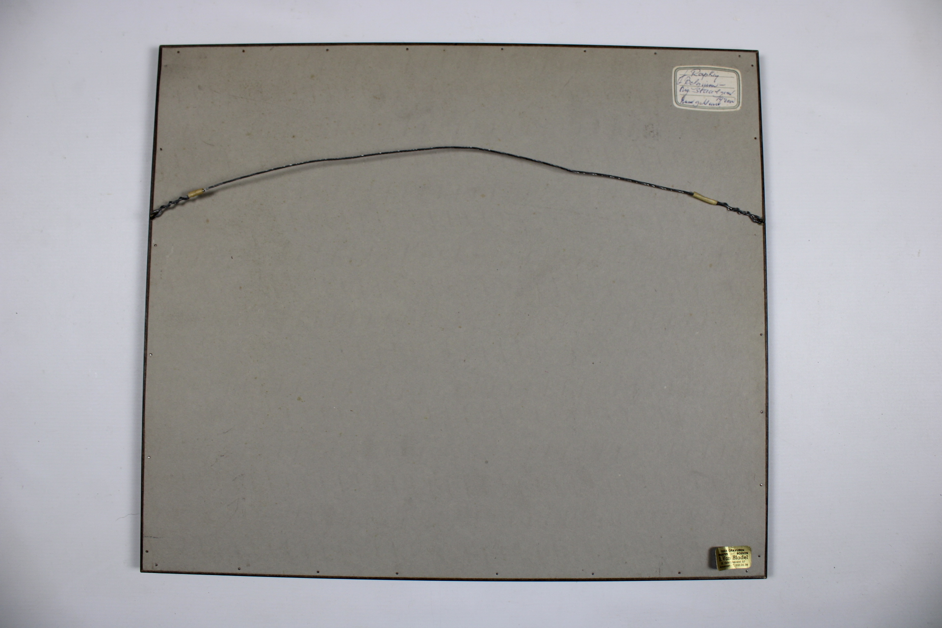
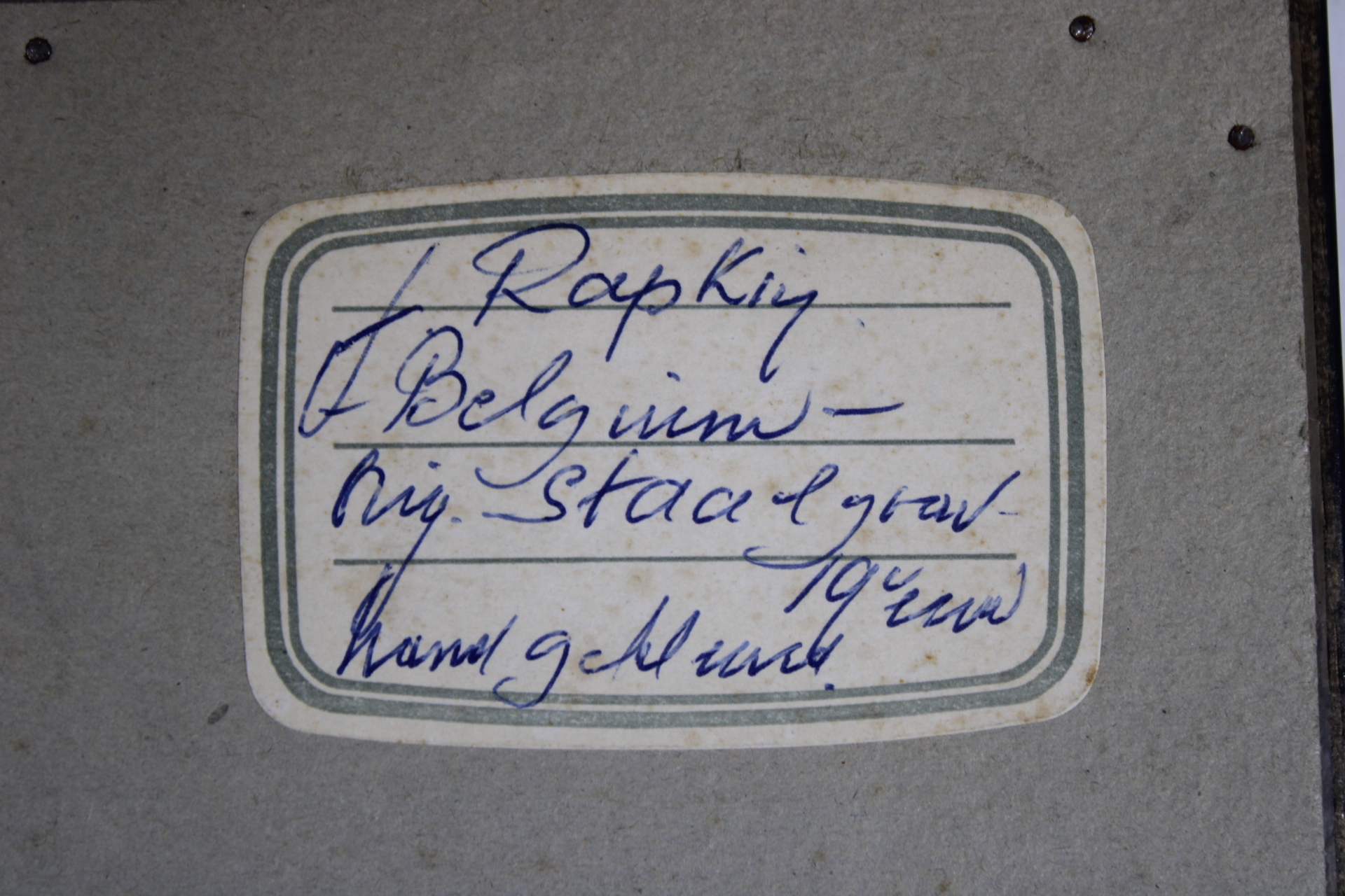
antique map of Belgium, 1851
€145,00
- Description
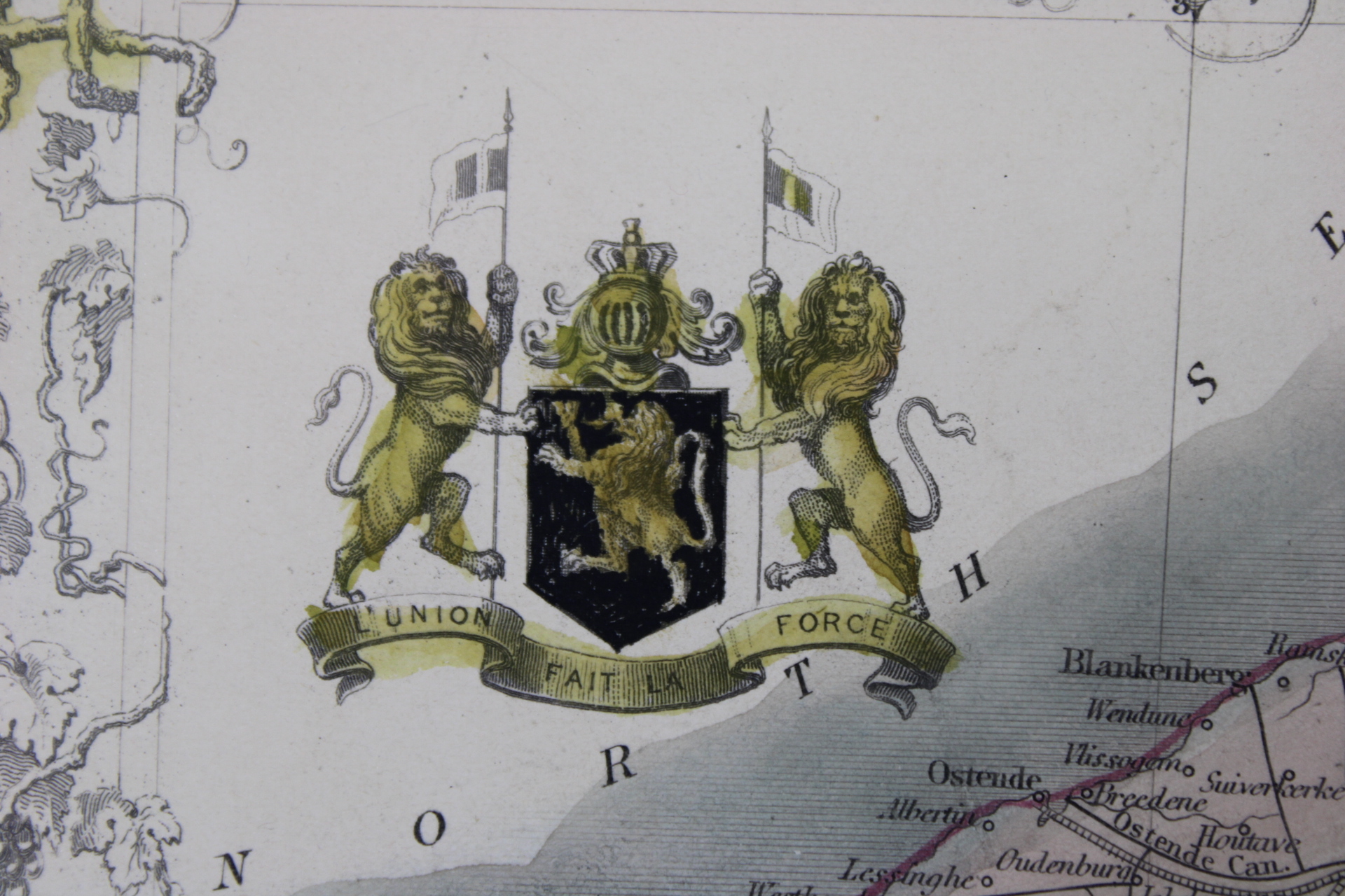
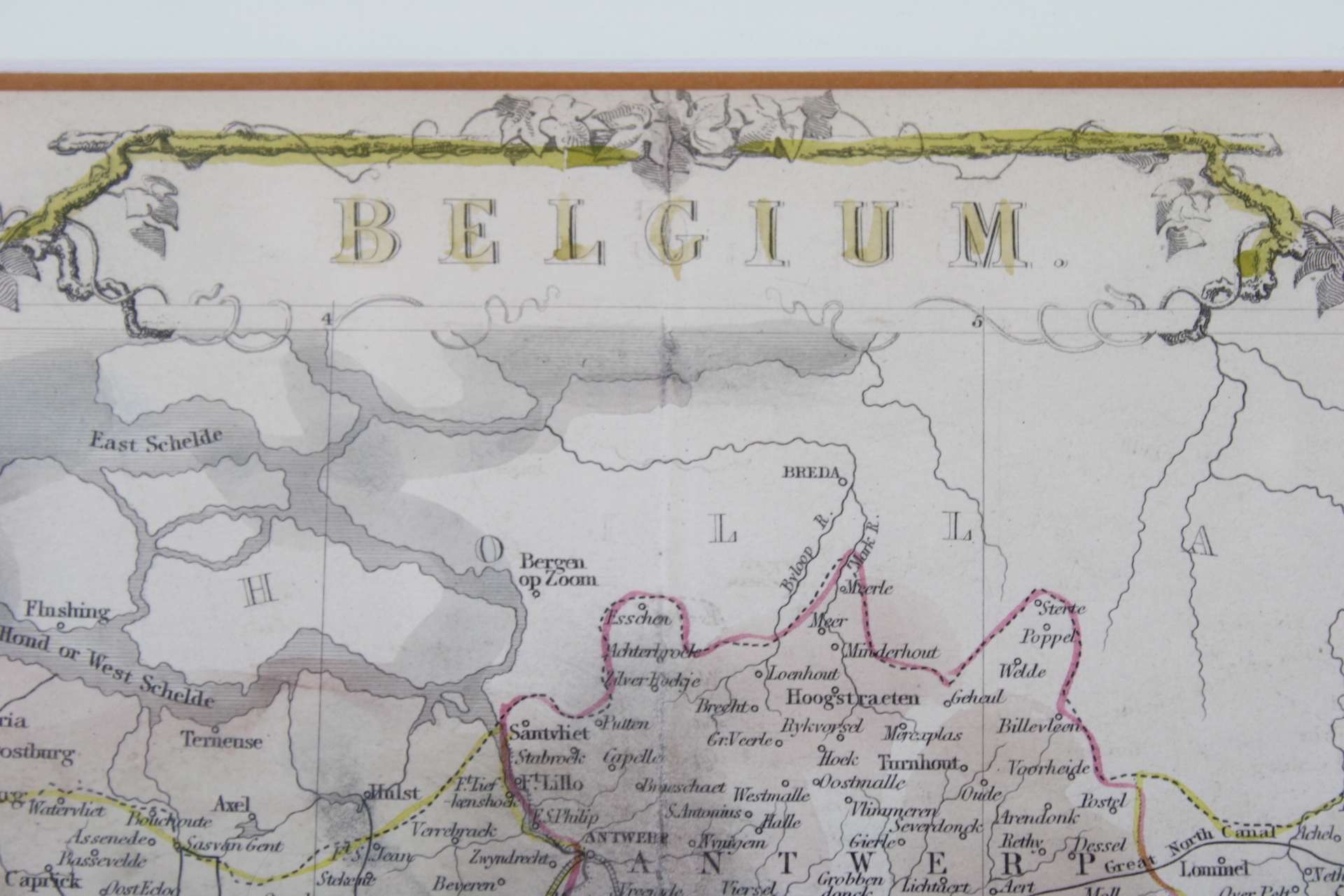
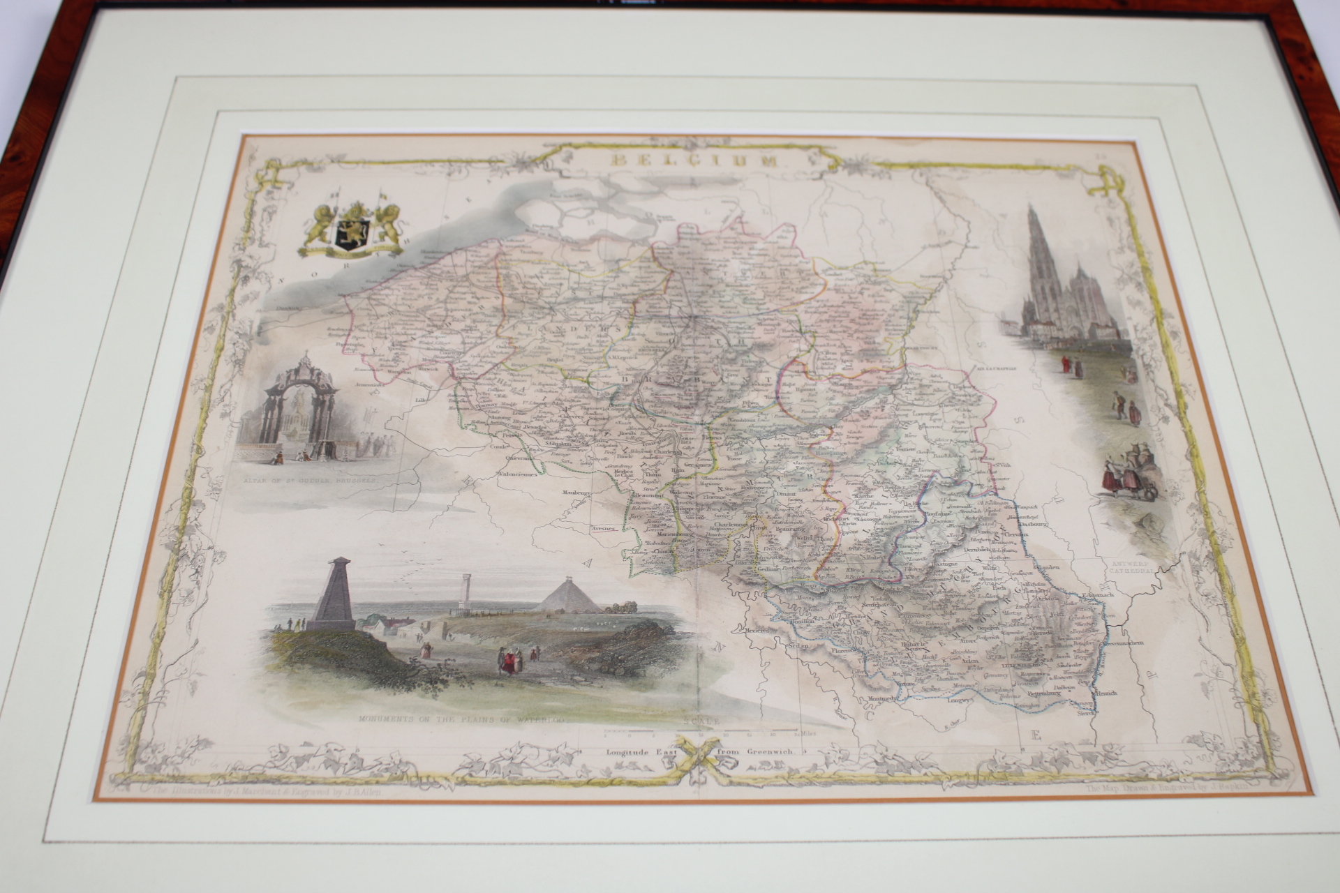
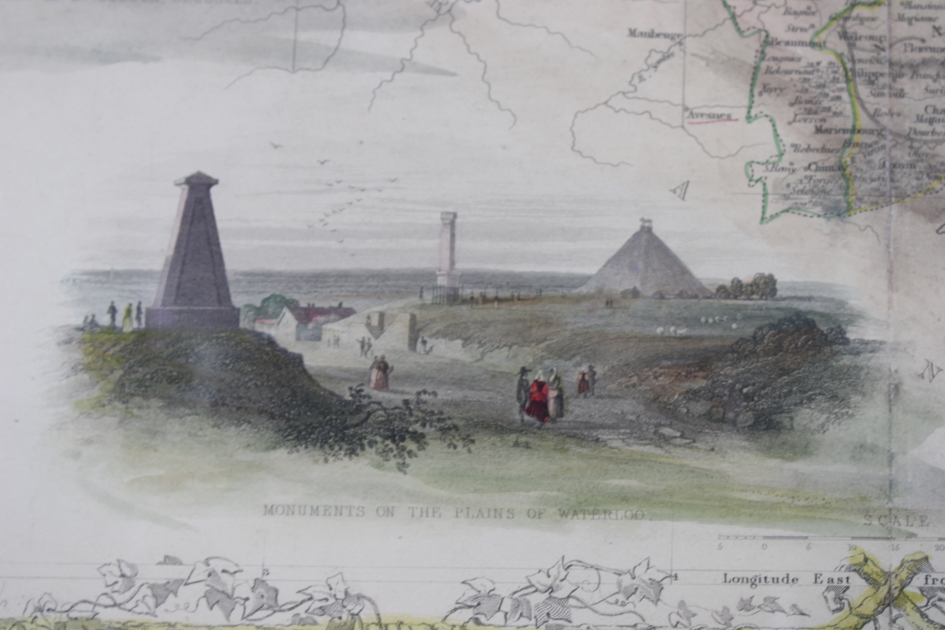
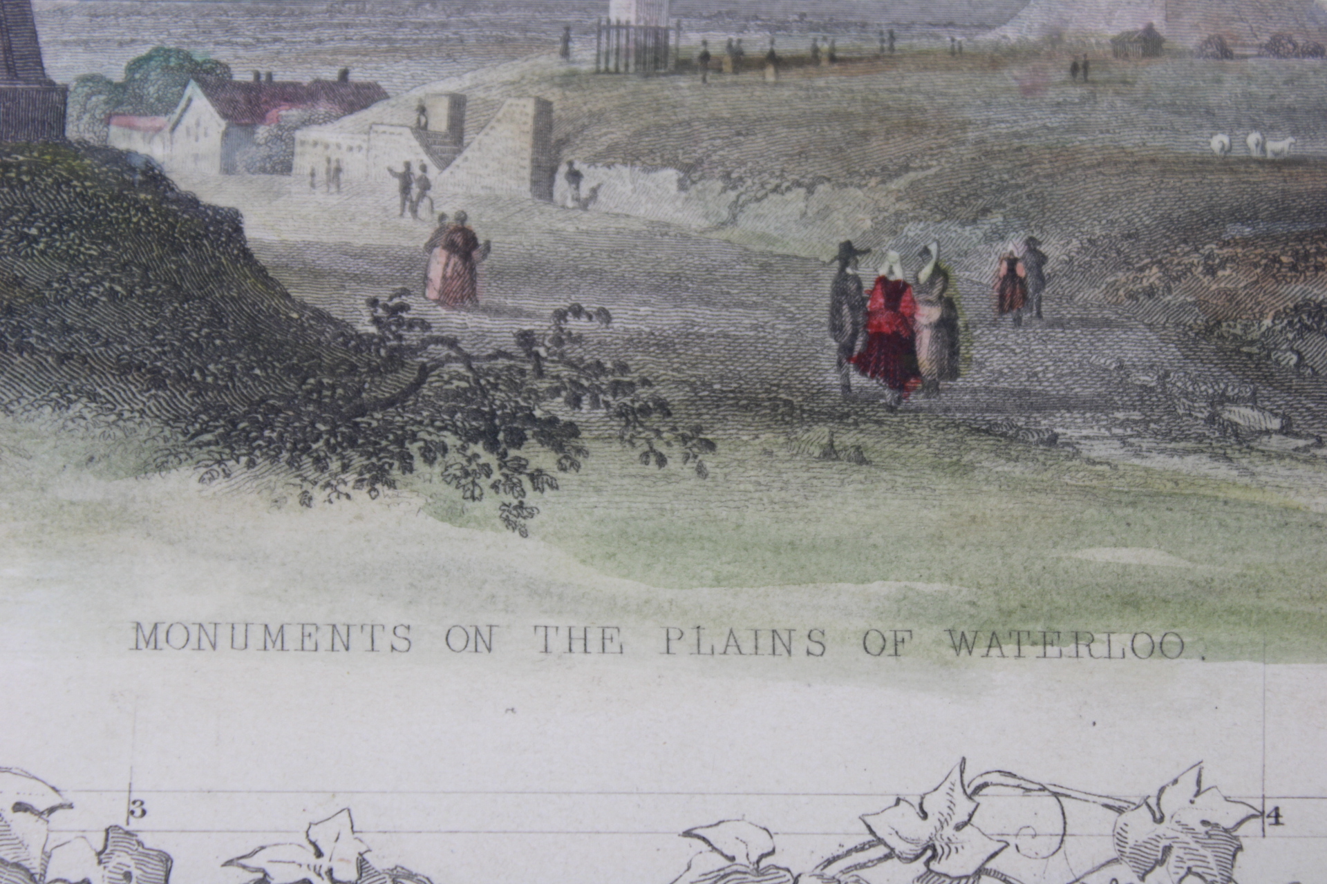
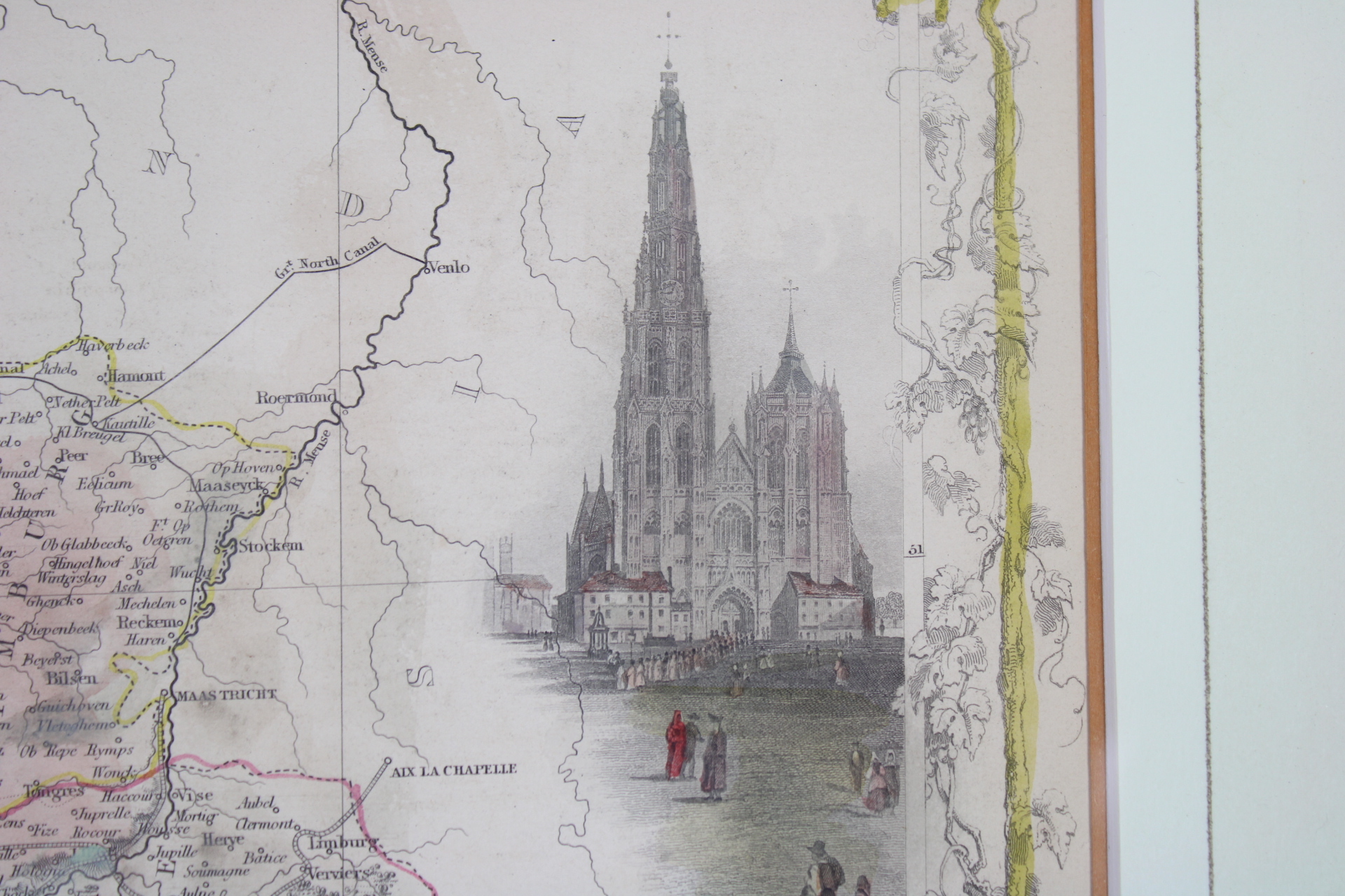
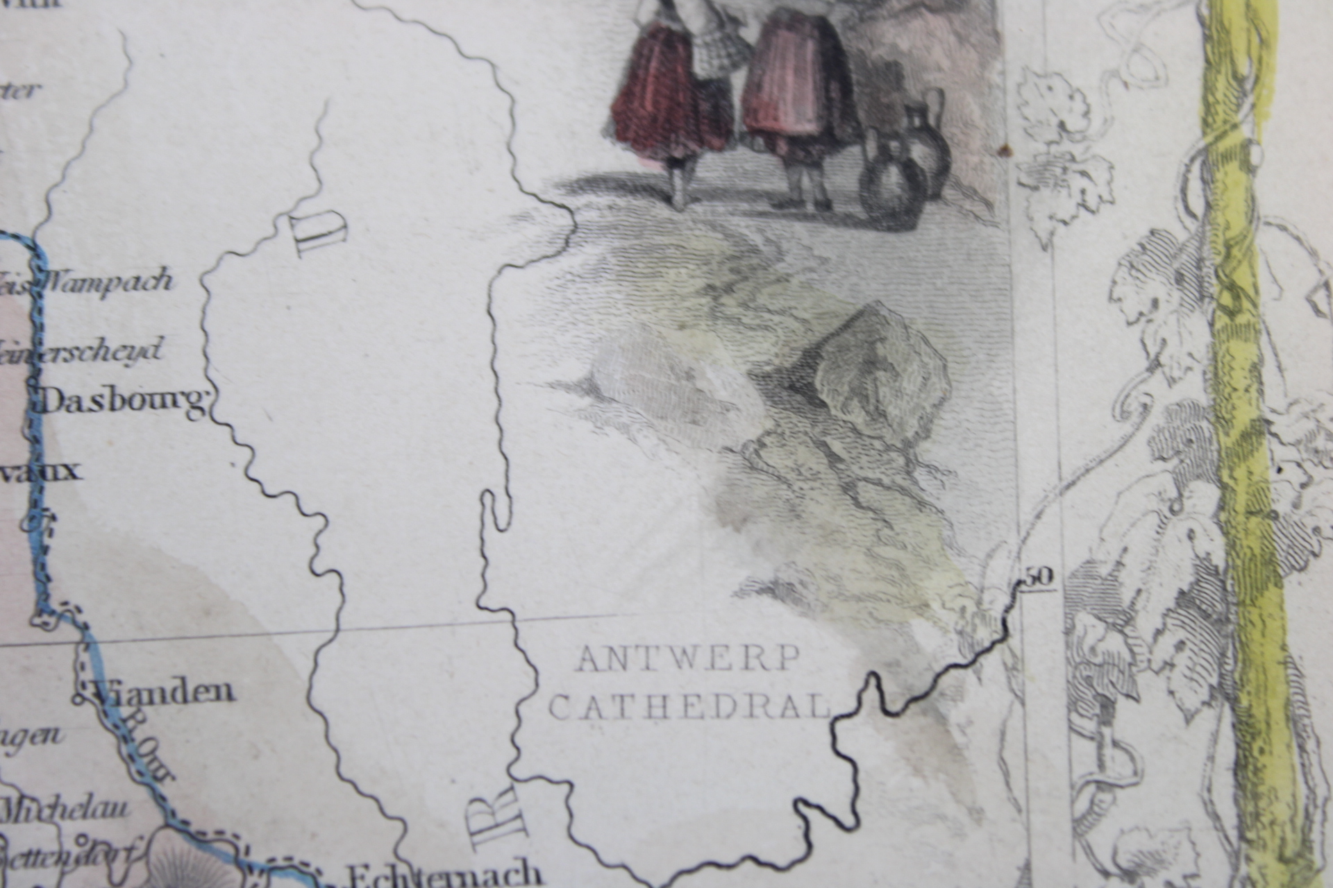
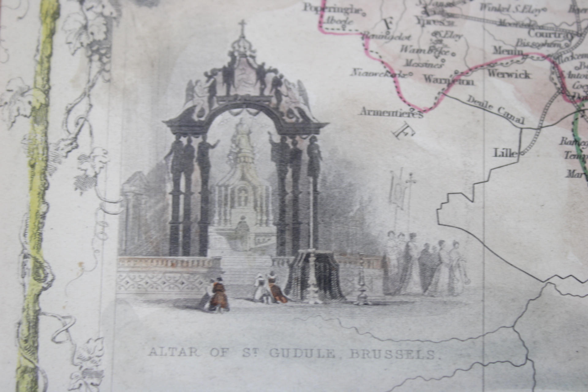
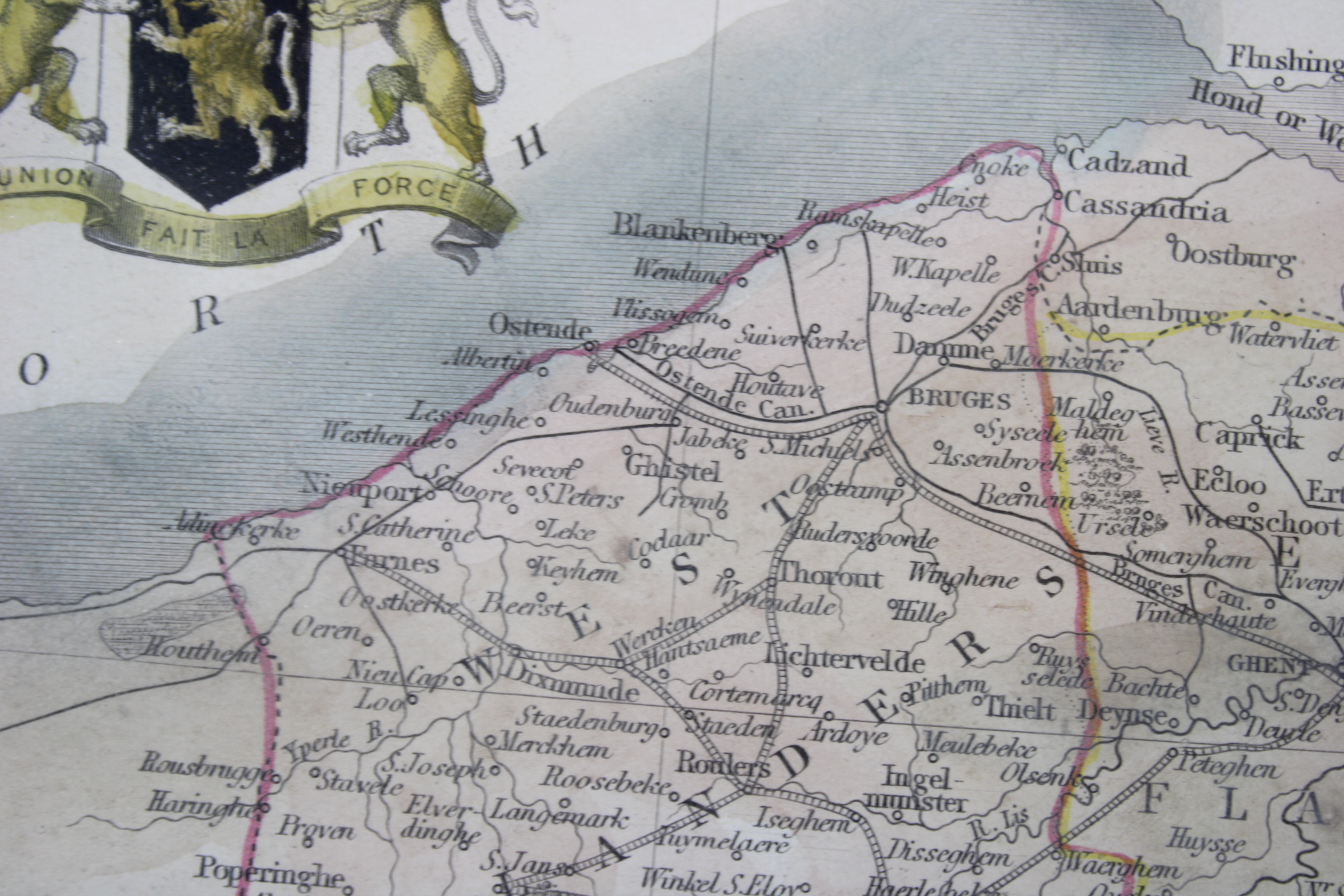
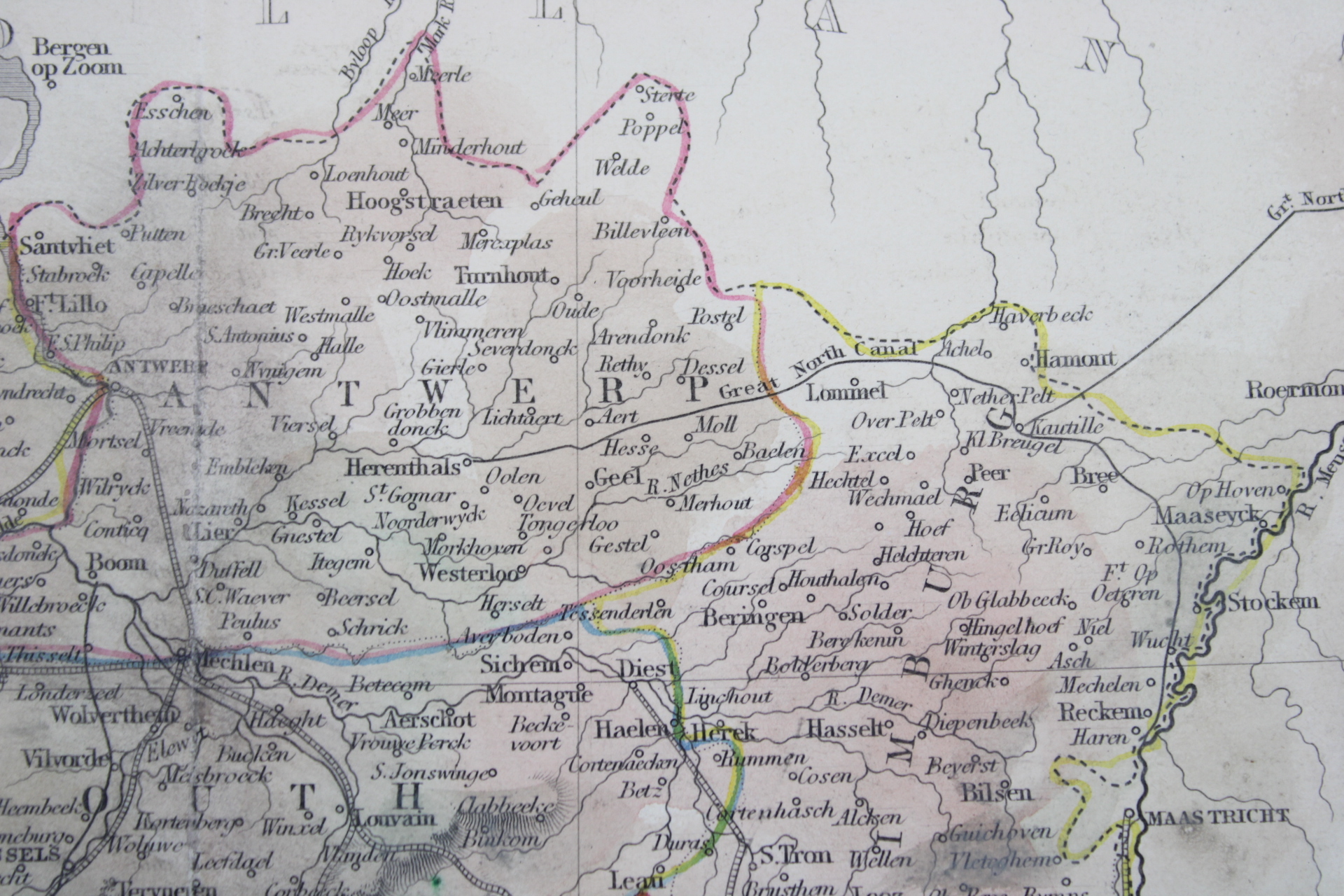
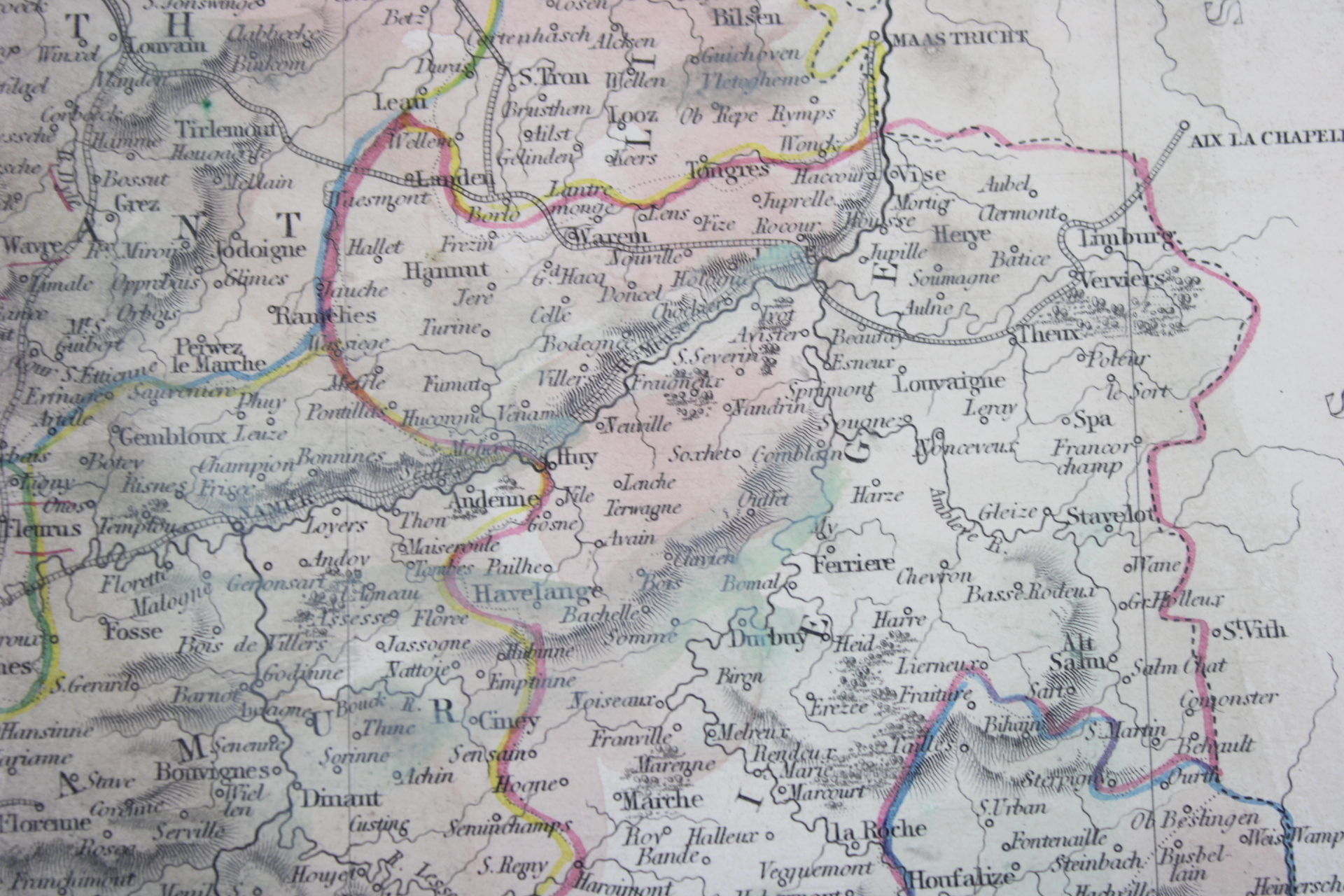
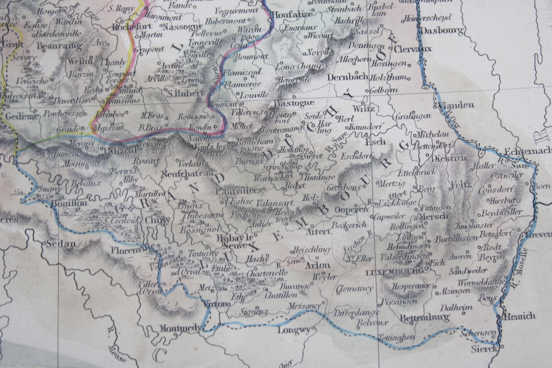
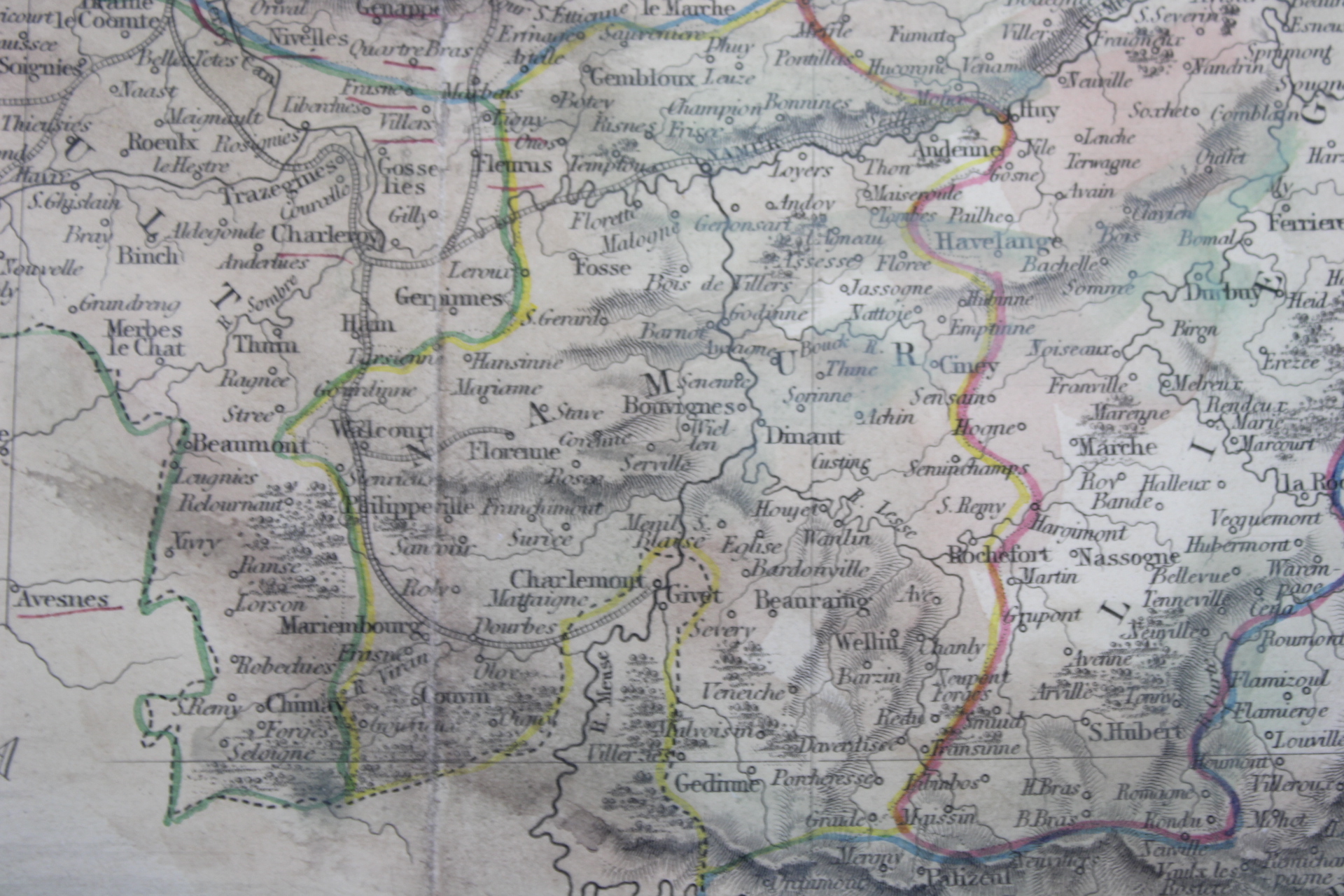
An illustrated map of Belgium. Steel engraving from 1851, colored by hand. Indications of cities, roads and railways, rivers, provincial borders. llustrated with drawings of Antwerp Cathedral, Monuments on the Plains of Waterloo, Altar of St.Gudule, Brussels and a coat of arms. The map was drawn and engraved by John Rapkin. The illustrations drawn and engraved by Henry Winkles. Published by John Tallis & Co. John Tallis (1817-1876) was a British map publisher.
Note: The Grand Duchy of Luxembourg appears on the map as if it were part of Belgium.
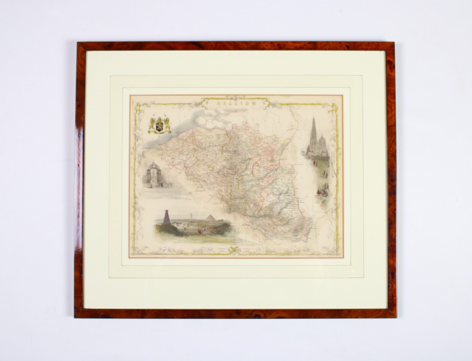
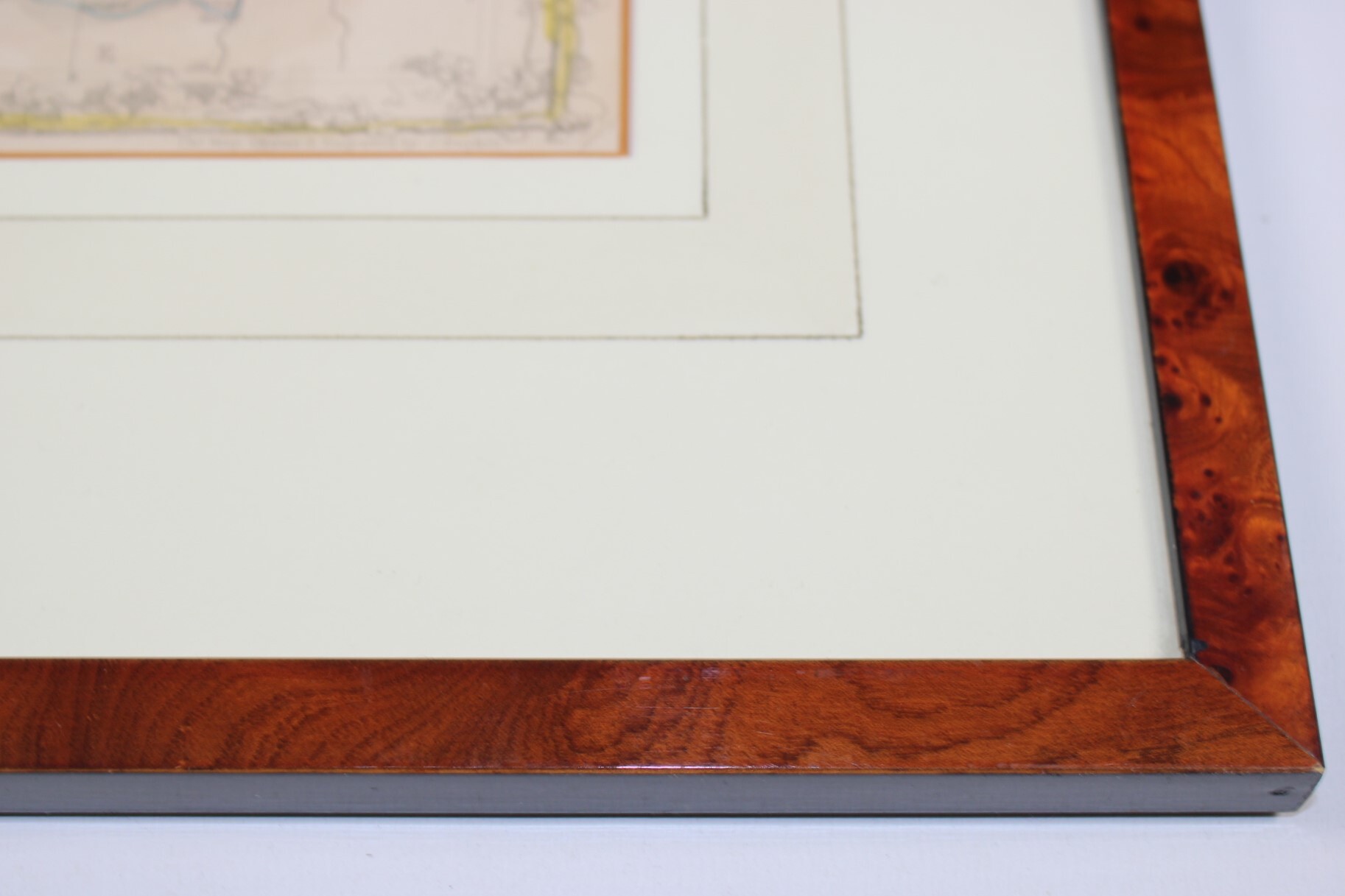
Framed behind glass in a gilded frame. Ready to hang.
Frame dimensions: 51.5 cm * 44.5 cm. Passepartout: 34*26 cm.
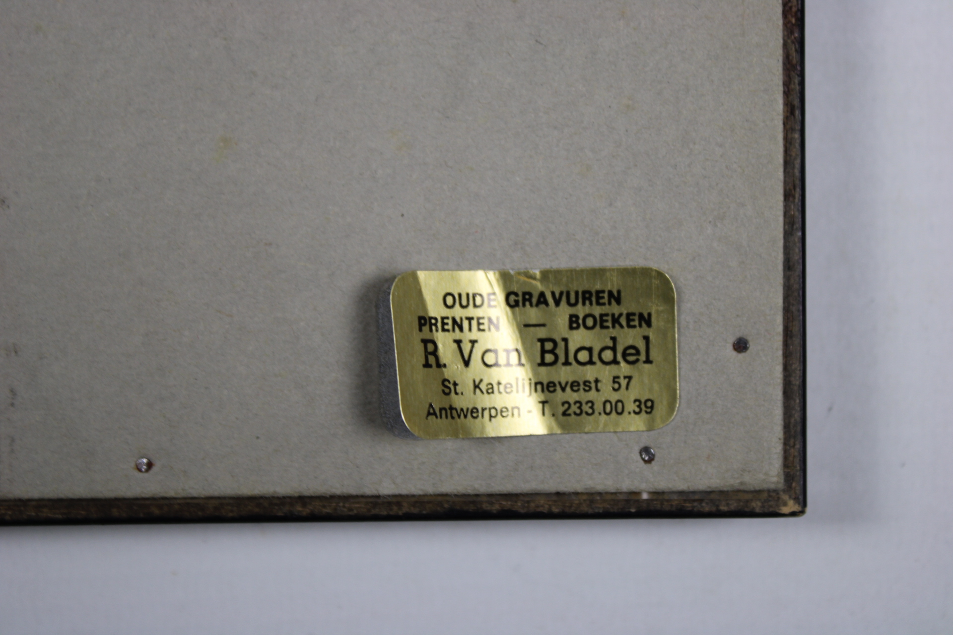
From antiquarian bookshop R. Van Bladel, Antwerp.
- Shipping Costs
- Shipment possible or pick-up at the store