
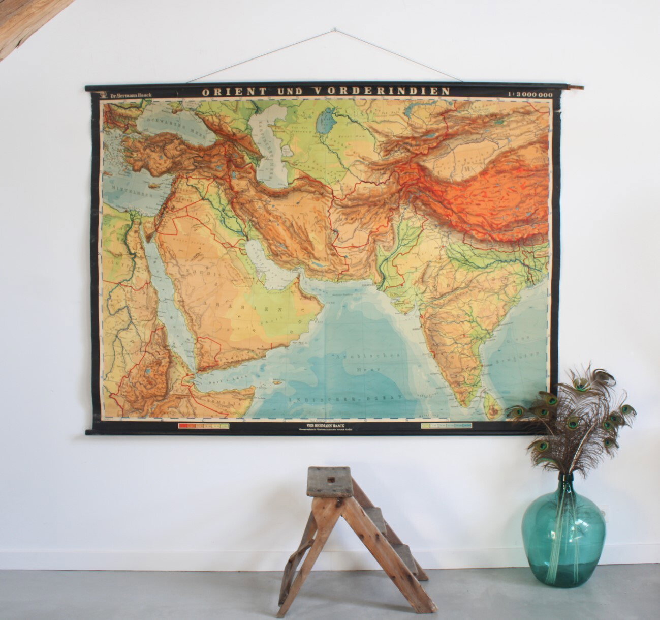
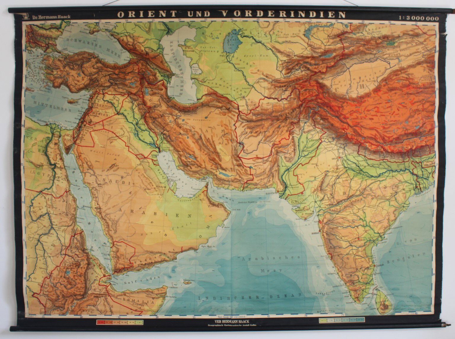
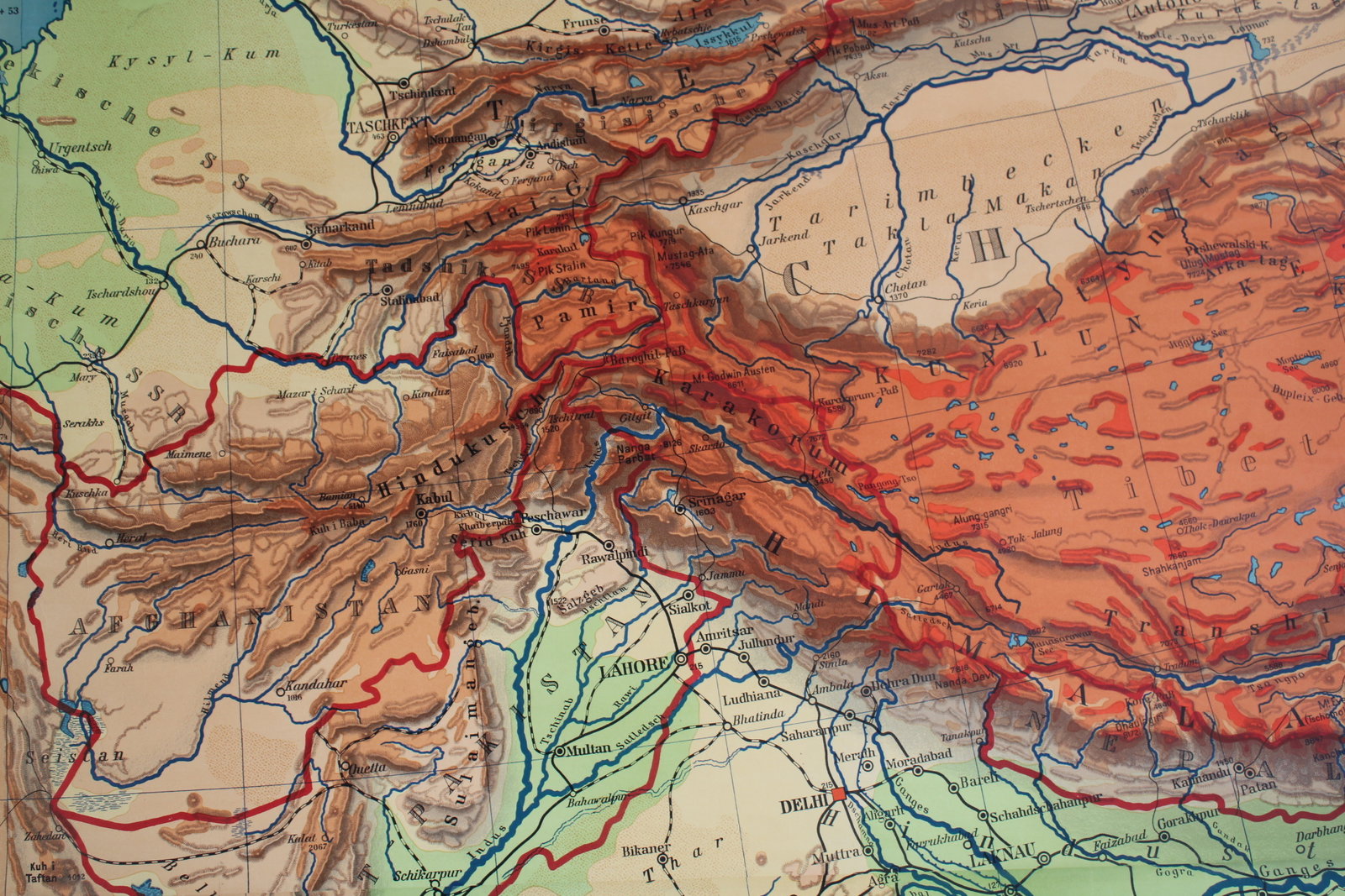
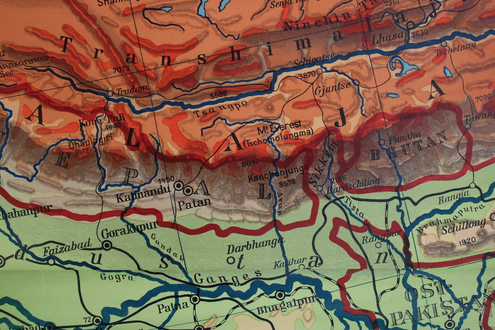
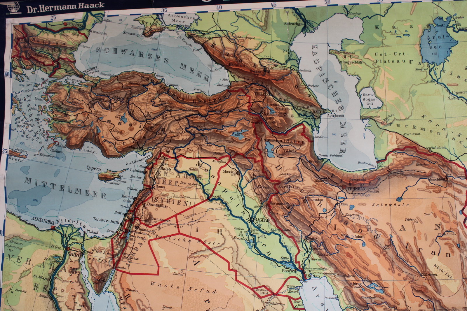
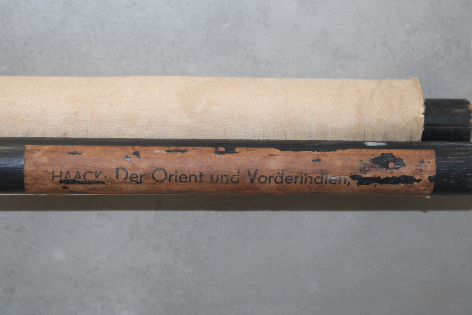
School map of the Middle East + the Indies
€55,00
- Description
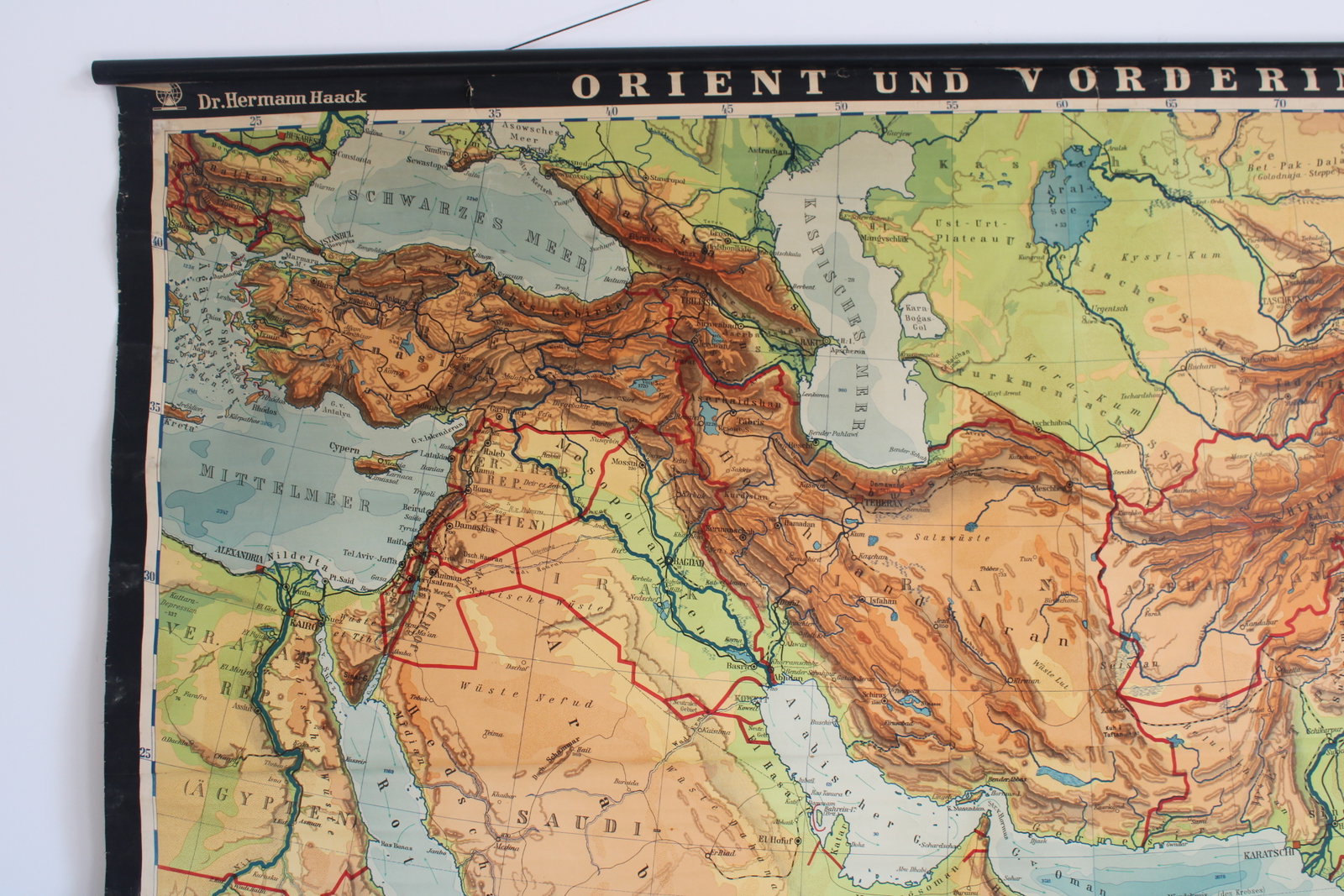
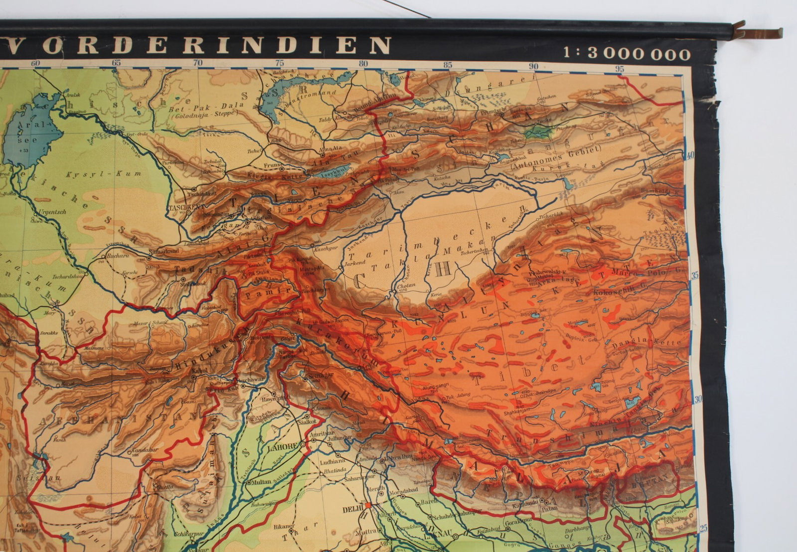
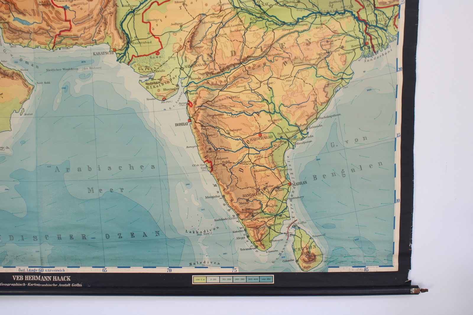
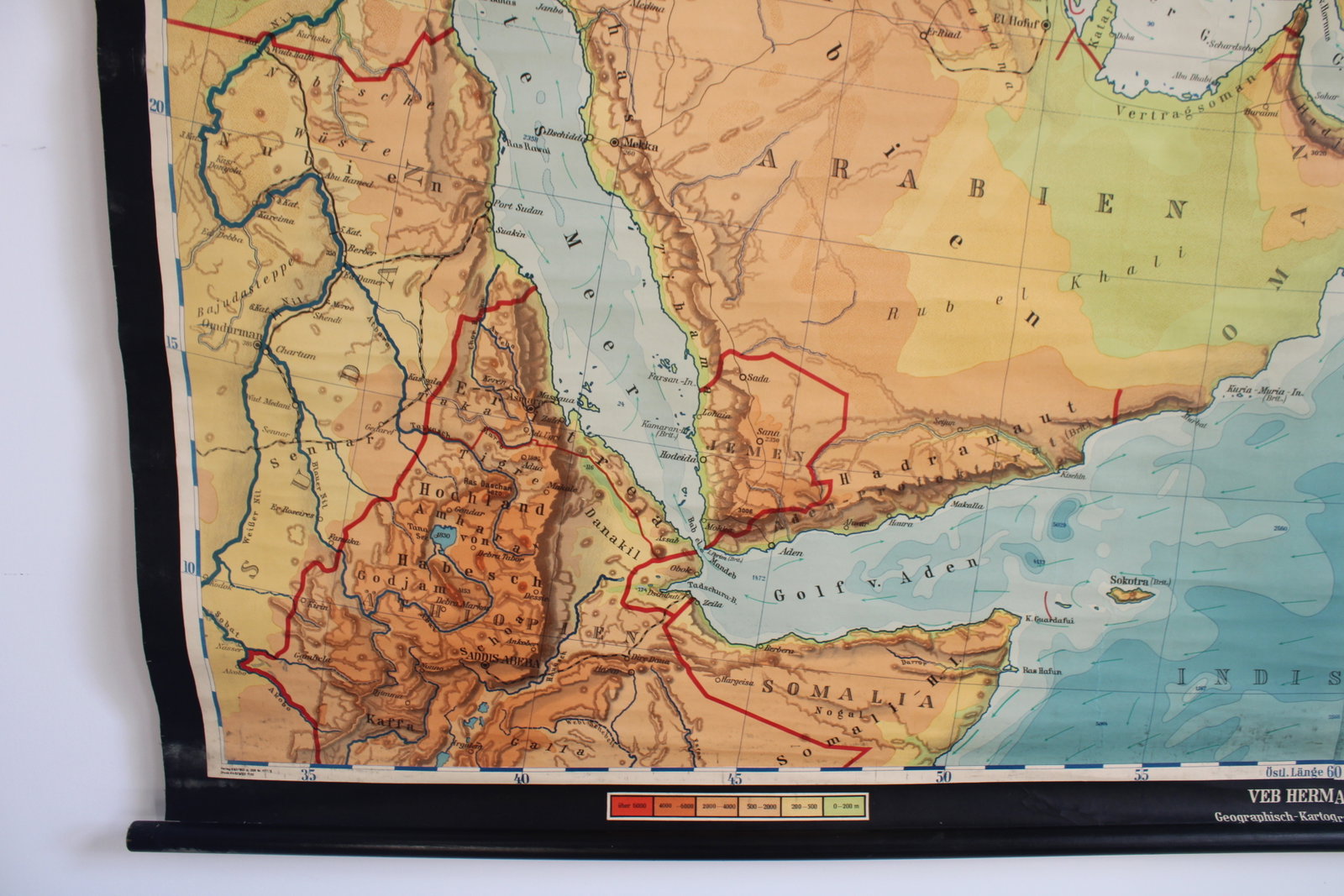
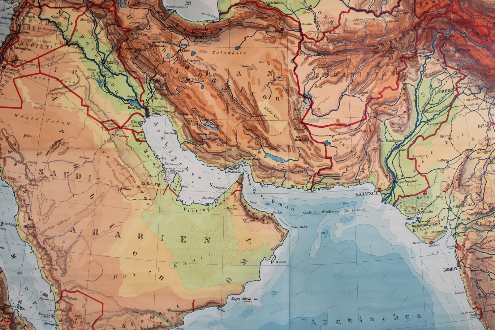
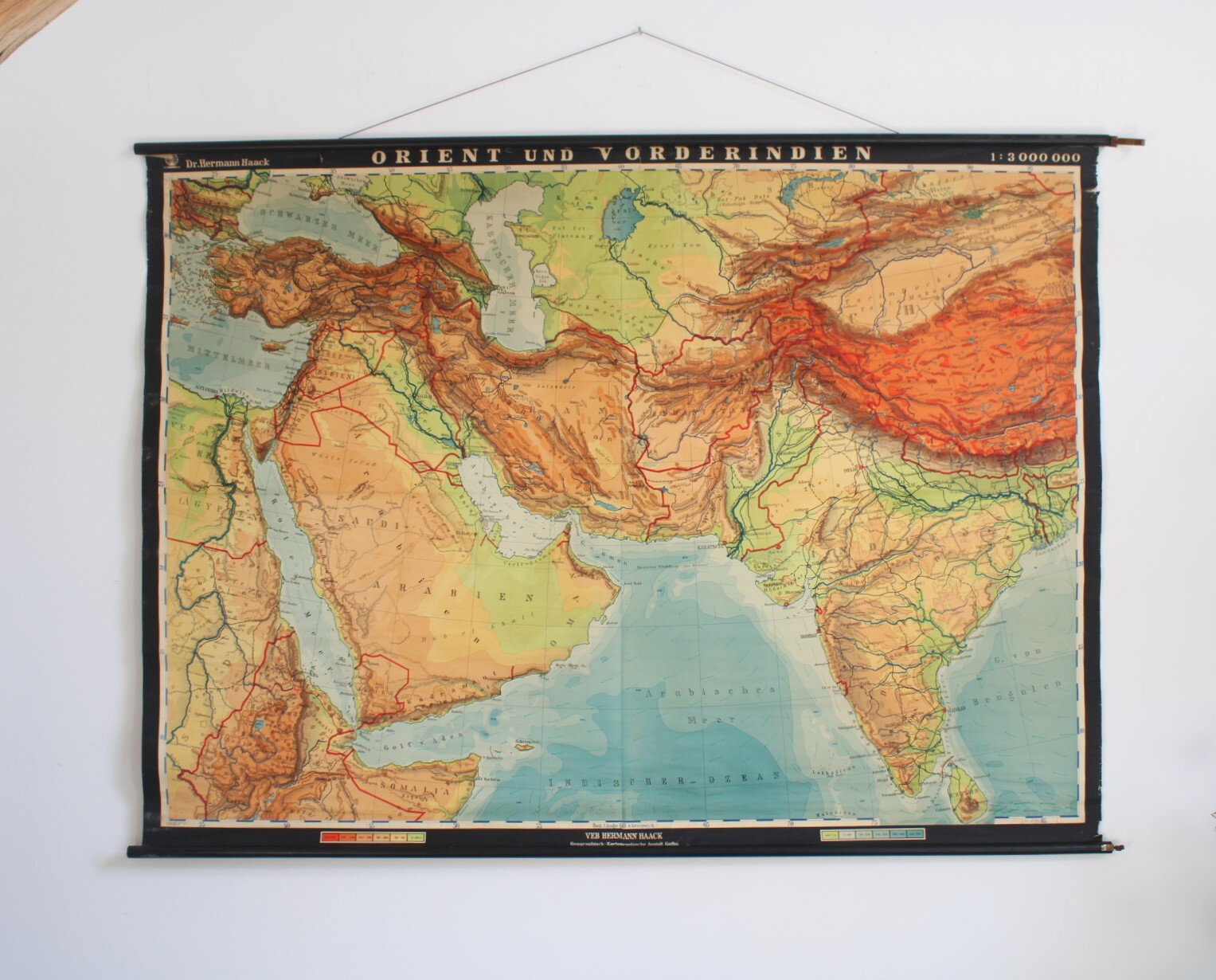
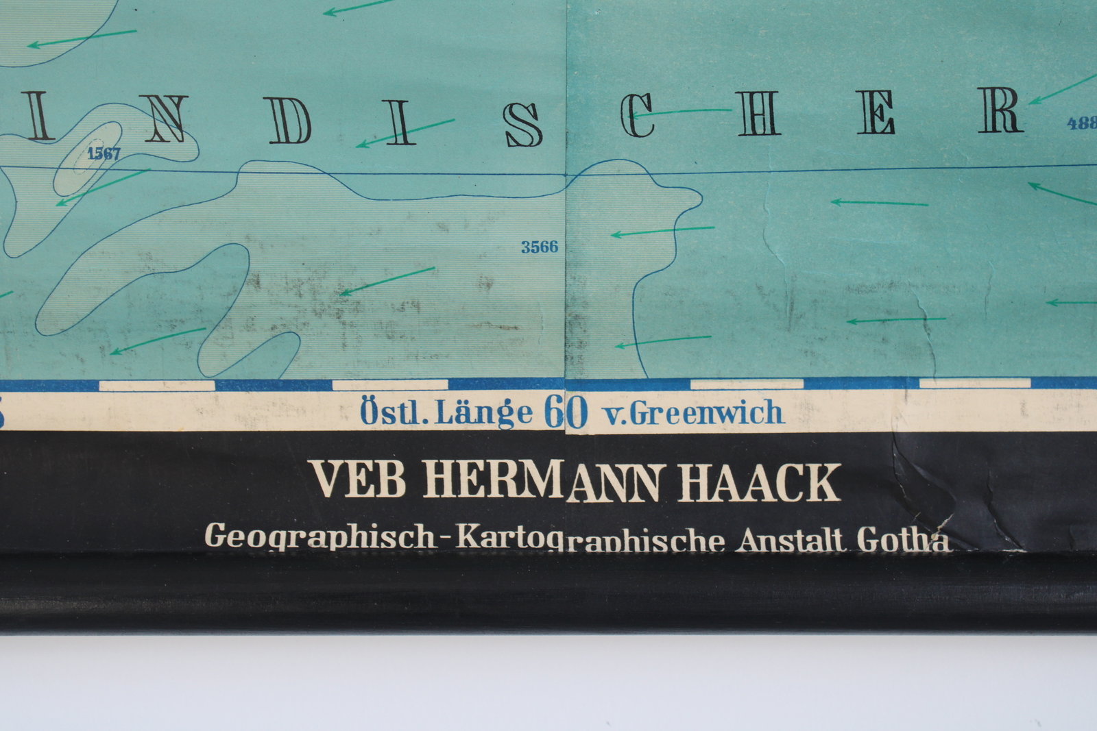
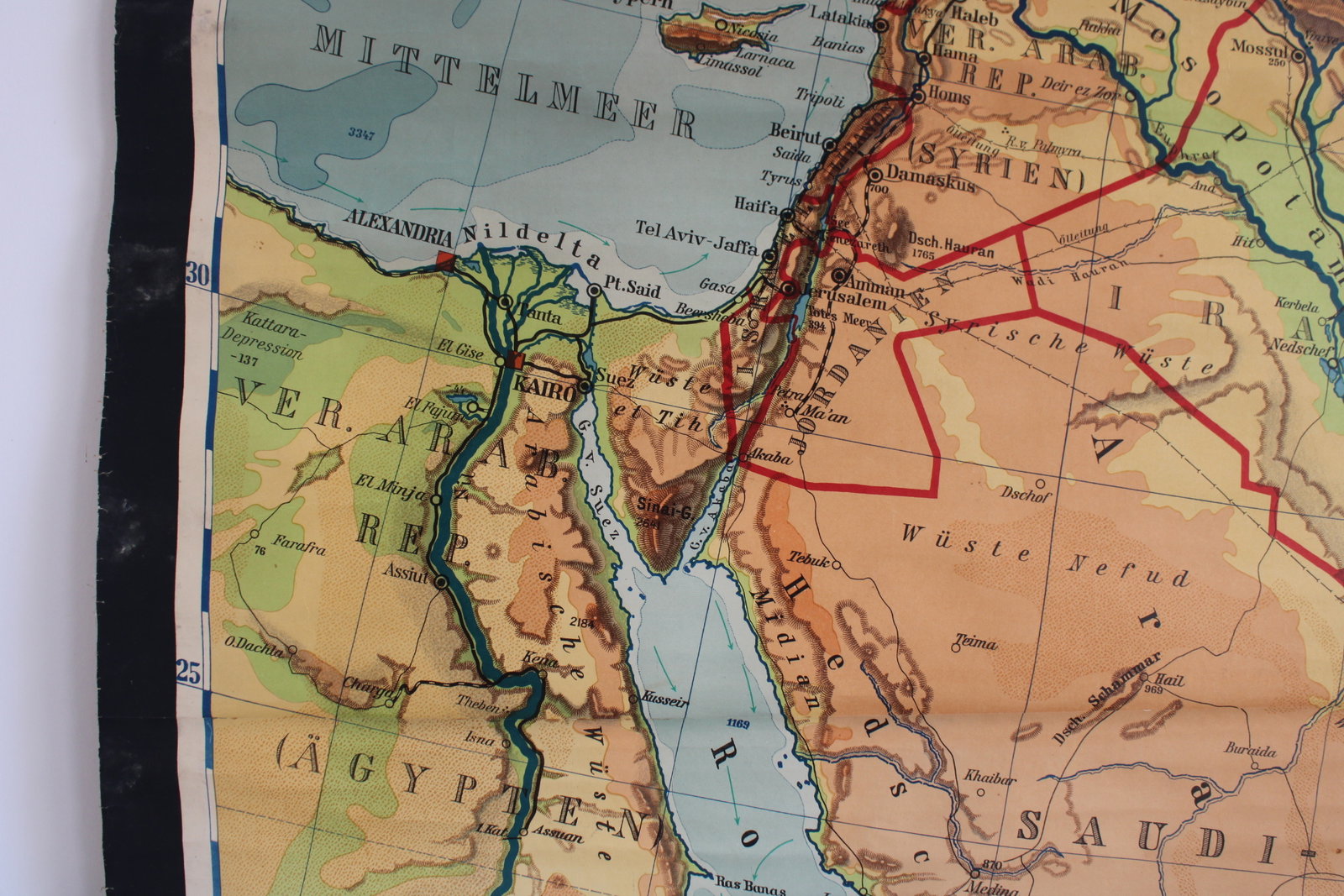
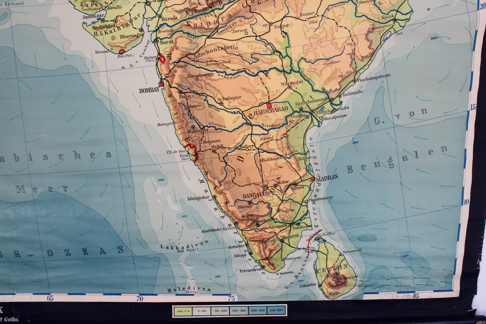
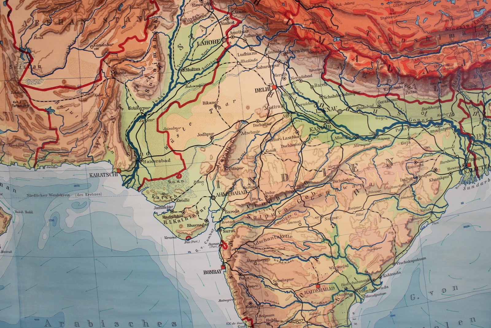
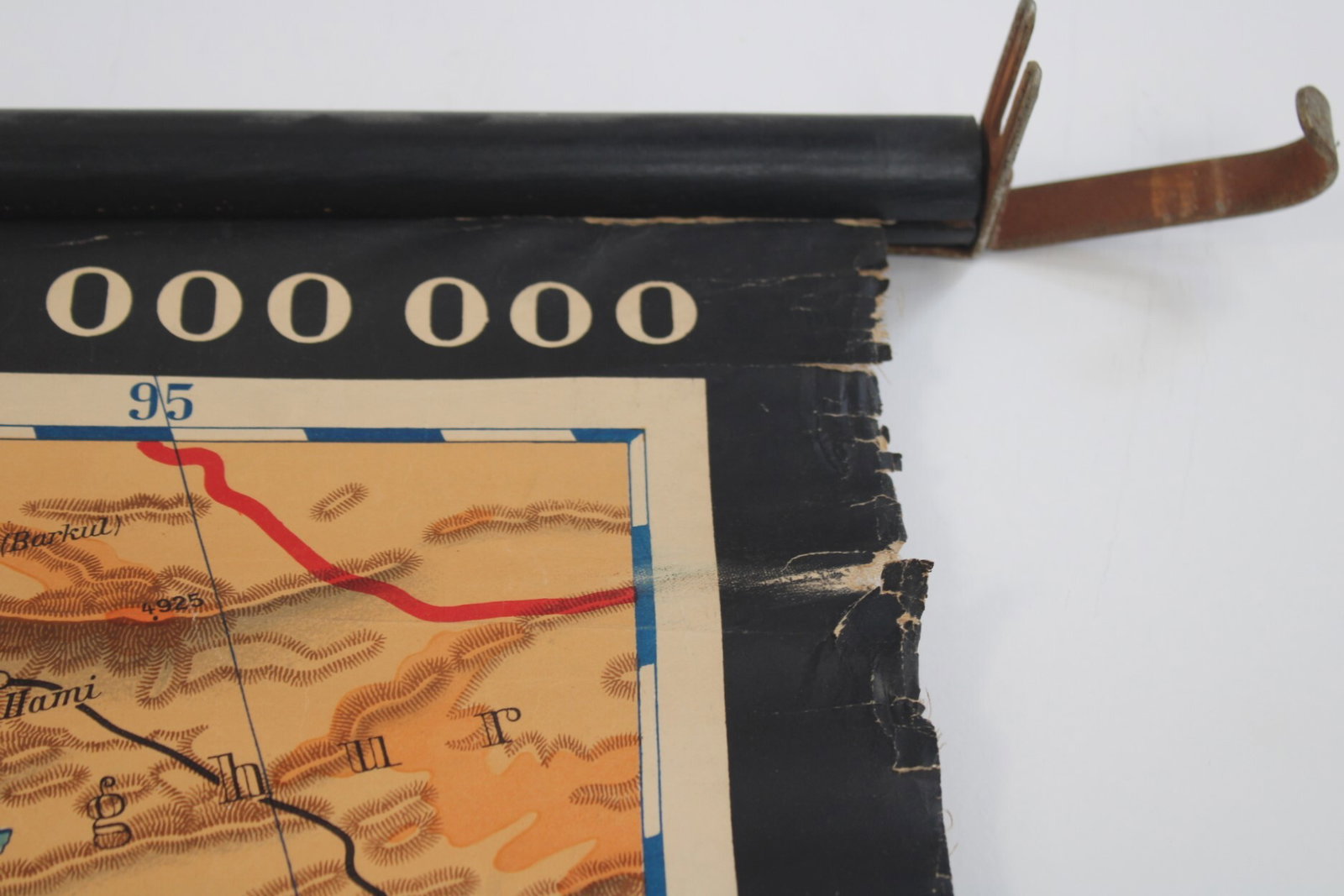
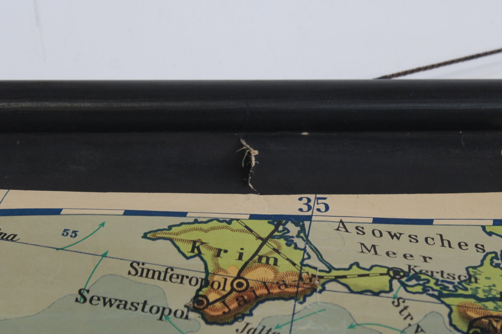
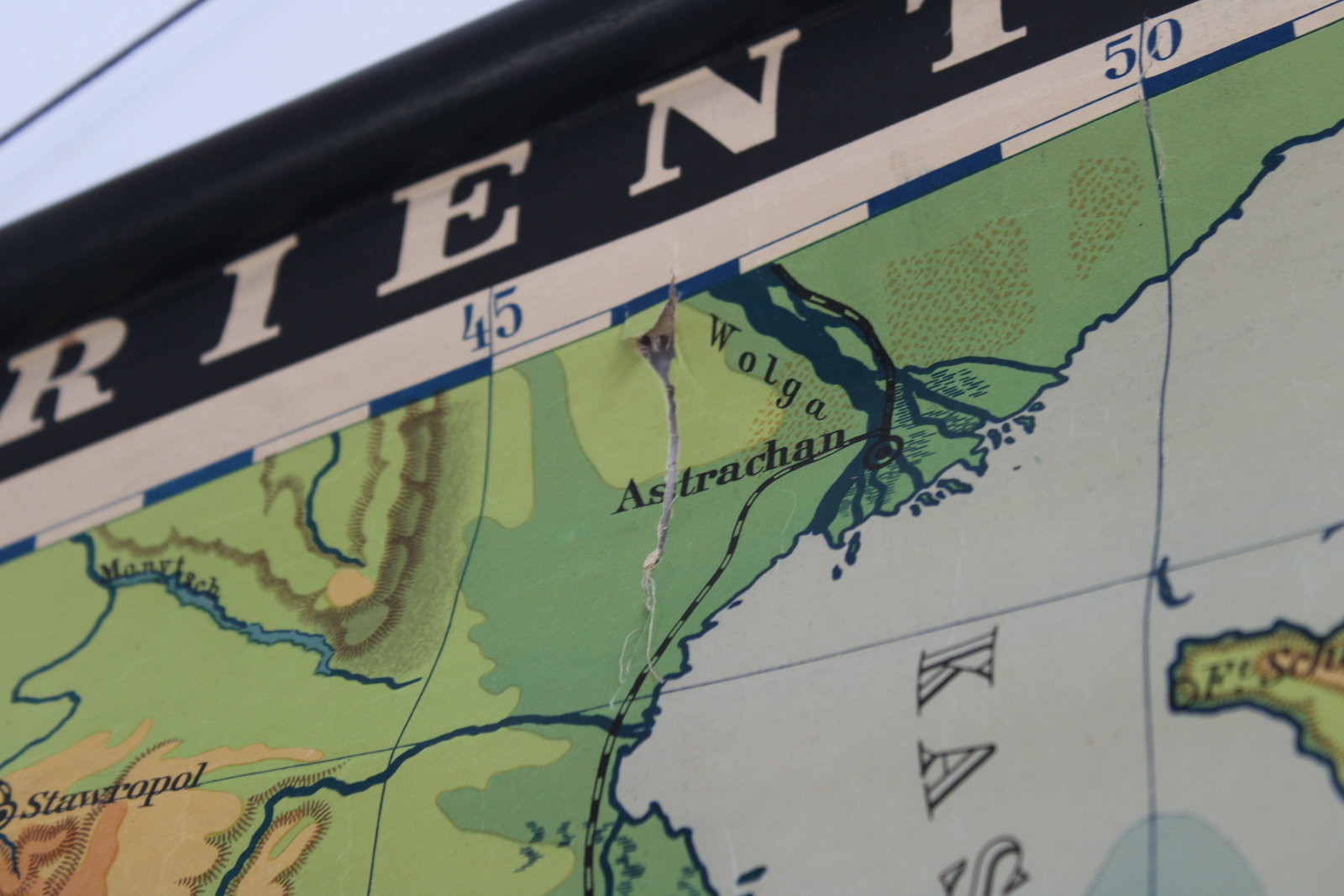
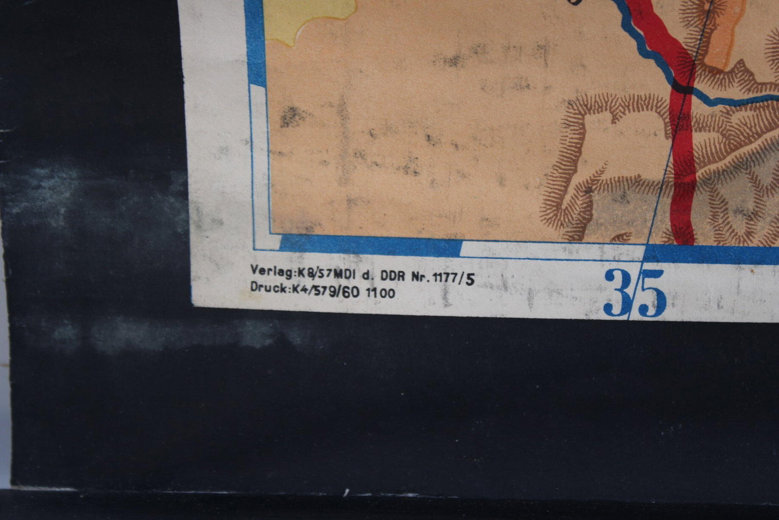
A very large and colorful school map titled 'Orient und Vorderindien'. A physical map showing elevations, mountain ranges, rivers, etc.
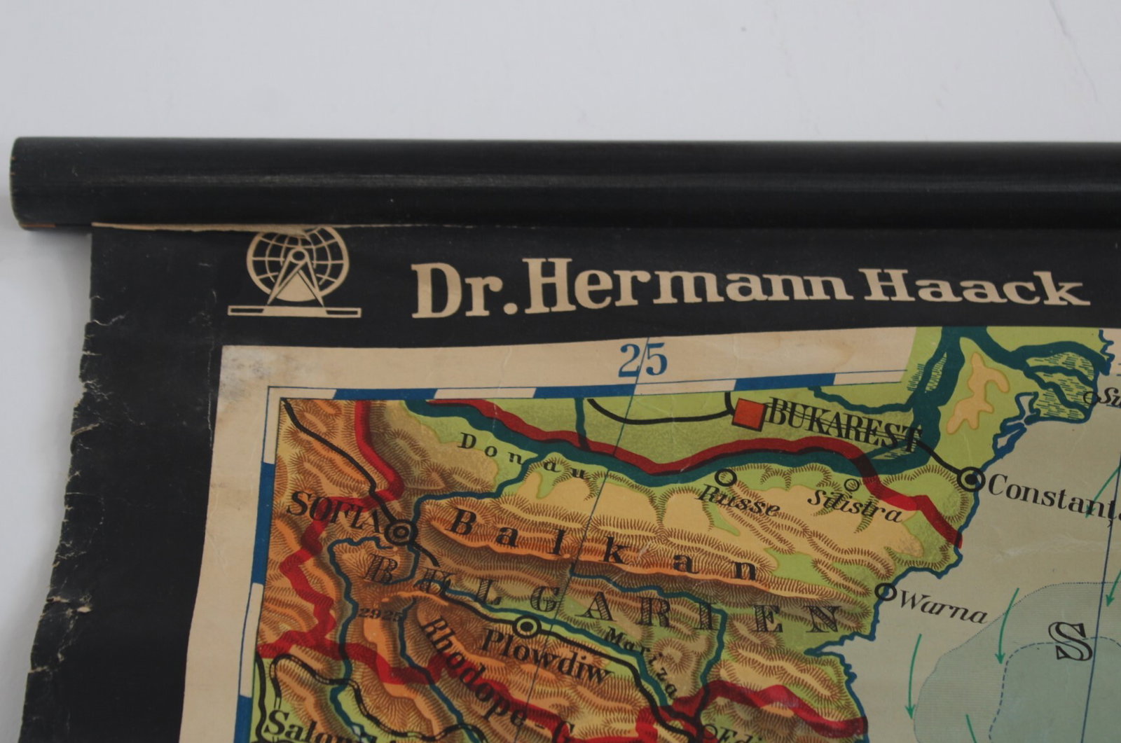
By Dr. Hermann Haack. In good condition with some minor damage.
Height 164 cm, width 218 cm (including rods: 231 cm).
- Shipping Costs
- in store pick-up only