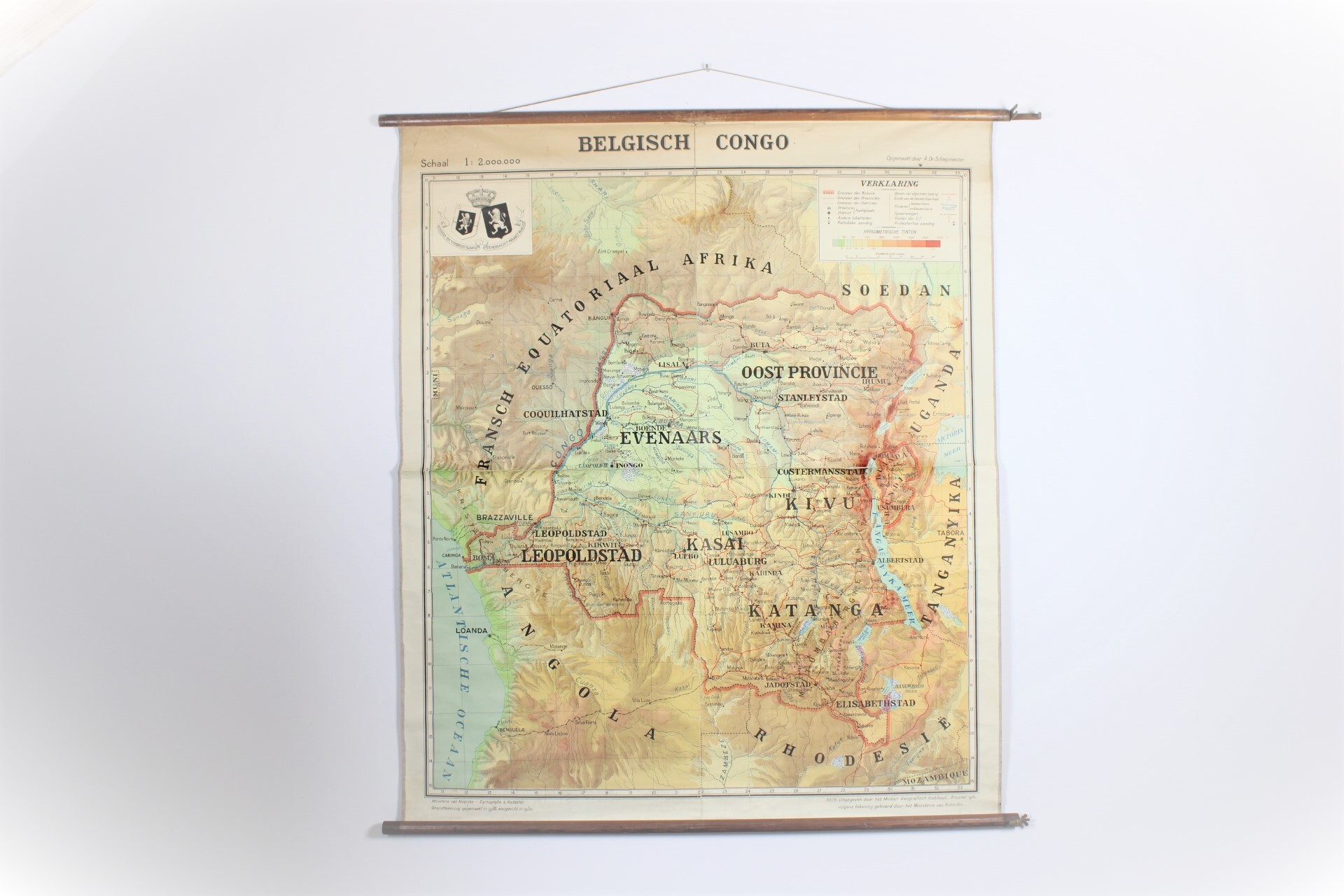
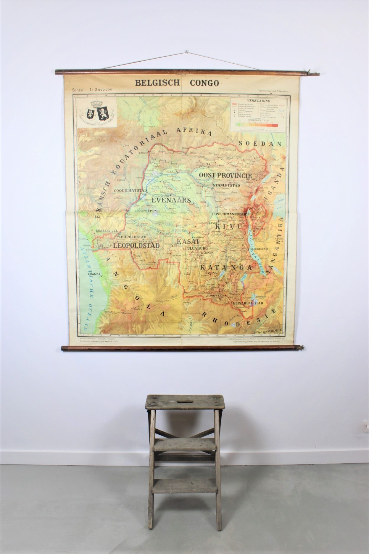
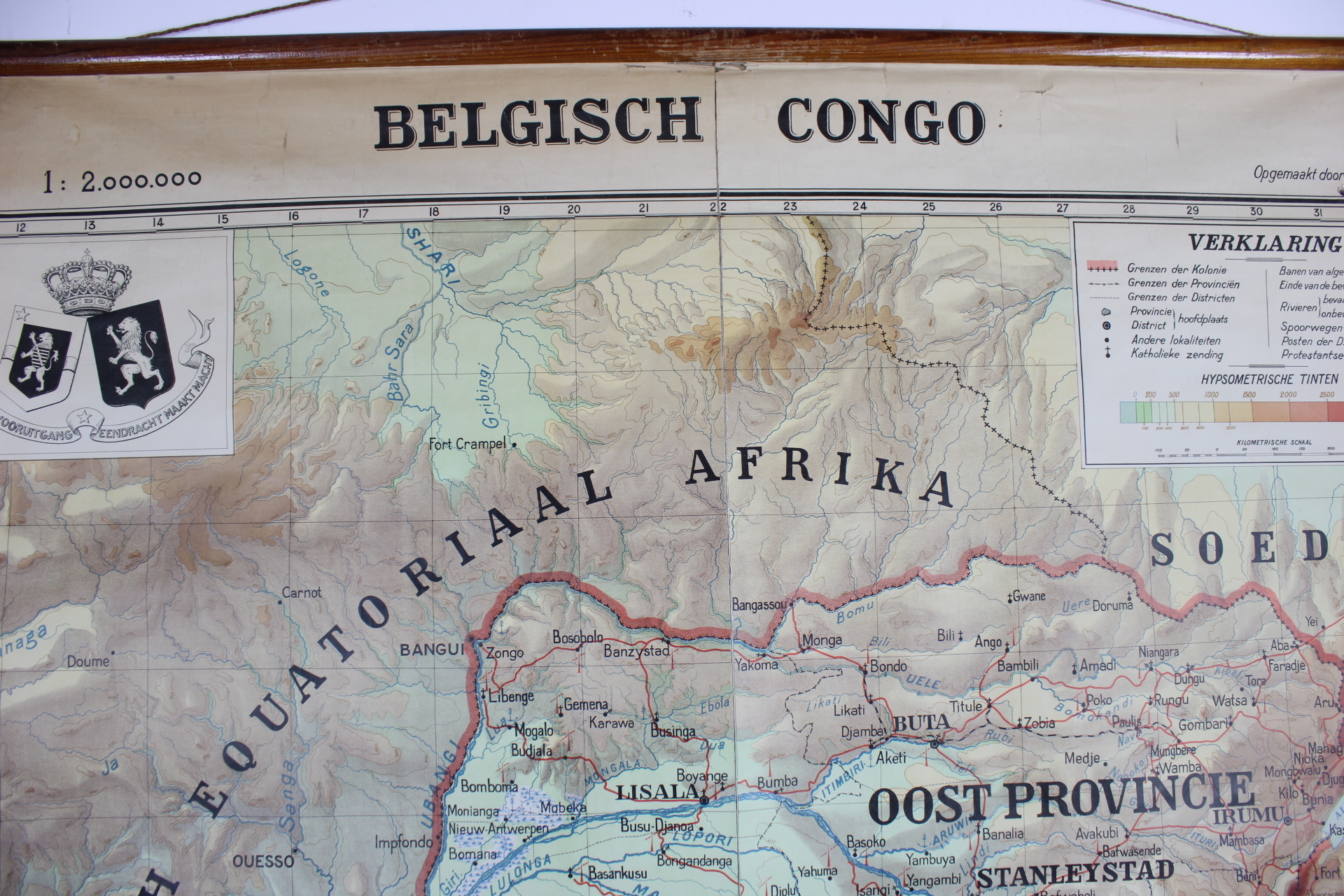
wall map of Belgian Congo
Sold
Sorry, this product is not available anymore. Follow us on Facebook or subscribe to our newletter to discover our new arrivals.
- Description
Large old wall map of Congo, 1951.
Geographic map. Beautiful cartouche with Belgian crown: 'Arbeid en vooruitgang, Eendracht maakt macht'. Made by A. De Schaepmeester. Ministerie van Koloniën - Cartografie & Kadaster. Measured in 1926 and 1950. Edited by Militair Geografisch Instituut, Brussel, 1951. Paper on linen.
Dim: 138*165 cm
- Shipping Costs
- Shipment possible or pick-up at the store