
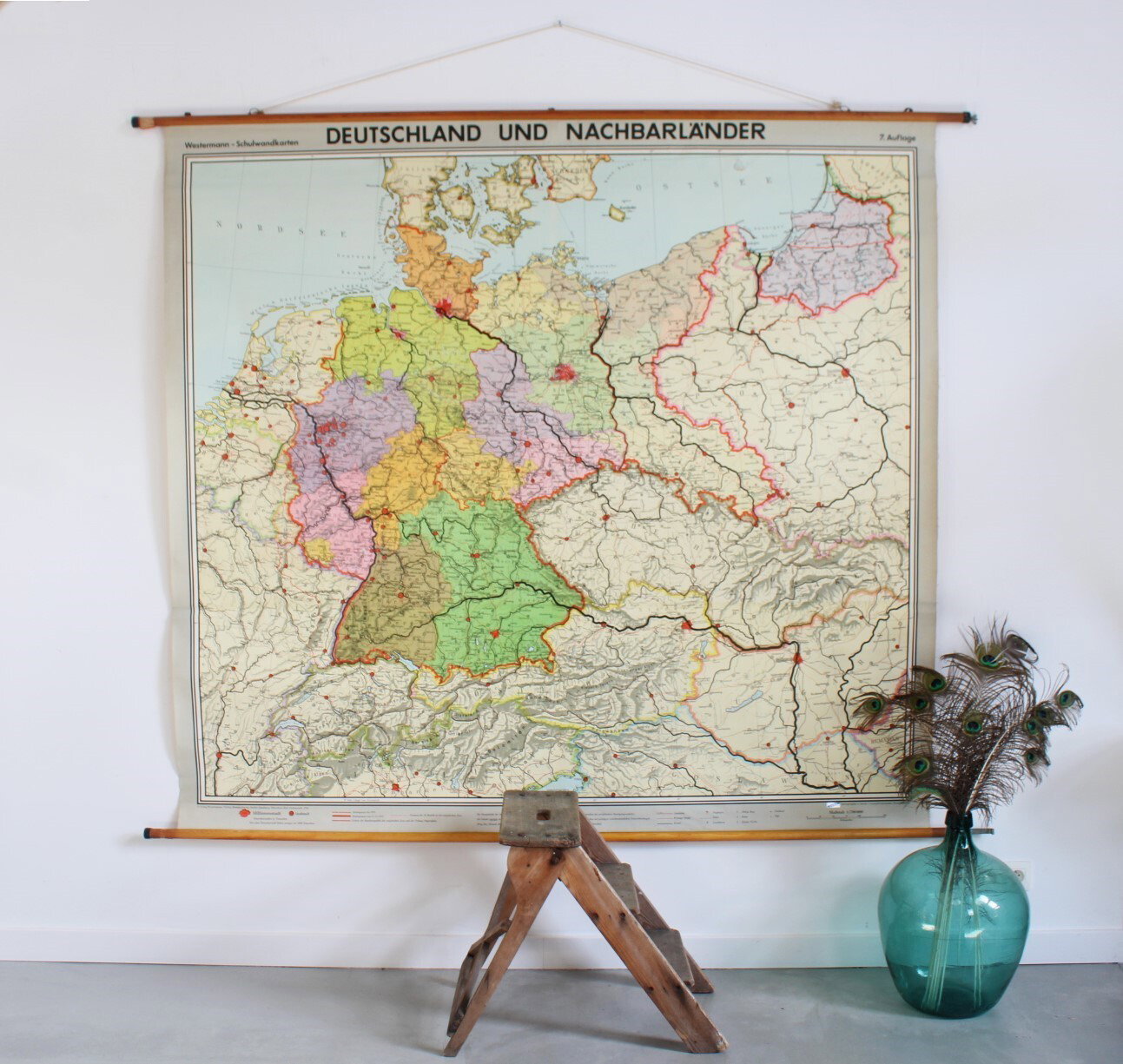
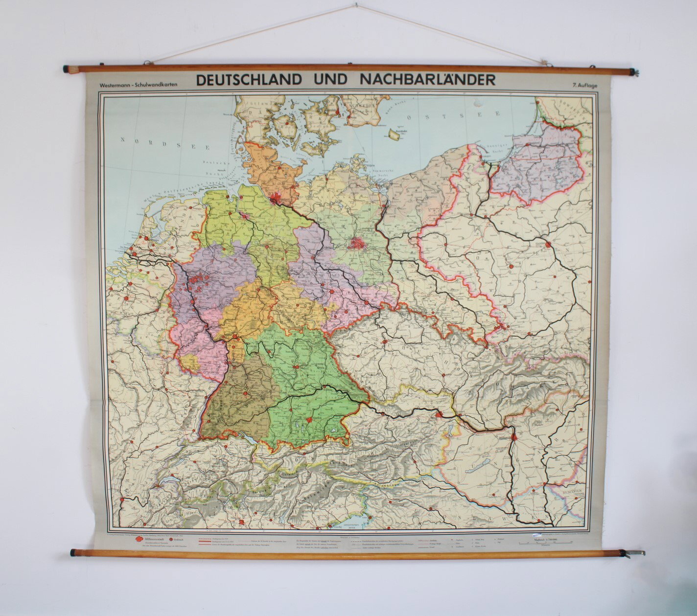
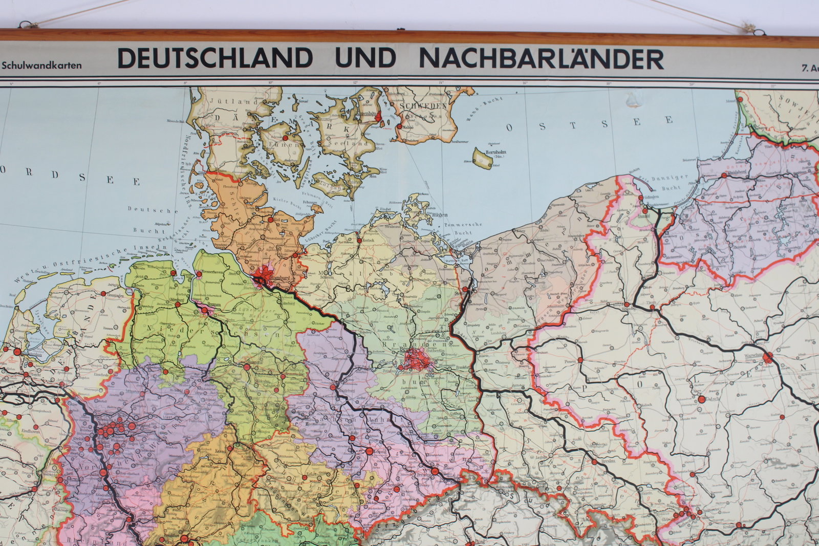
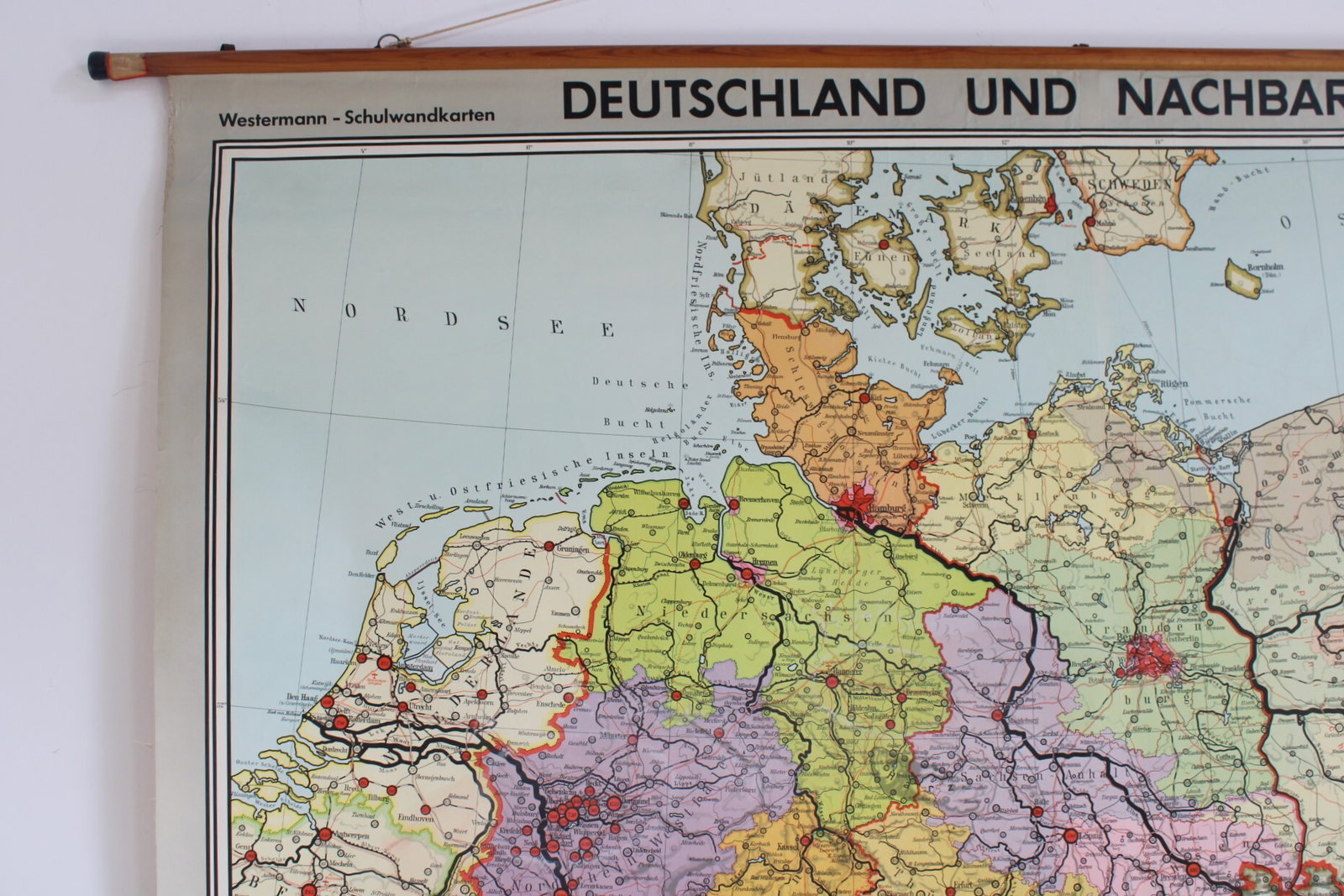
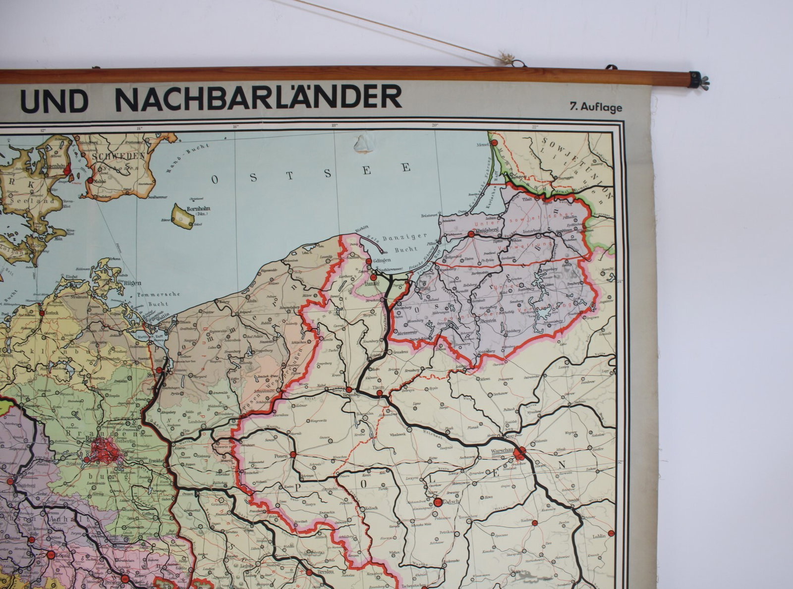
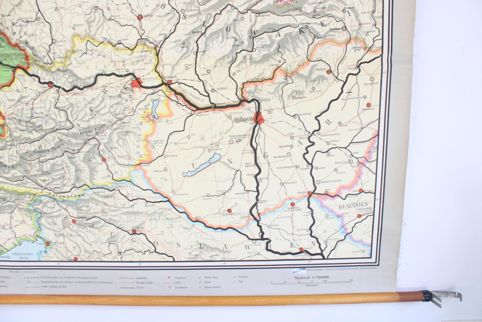
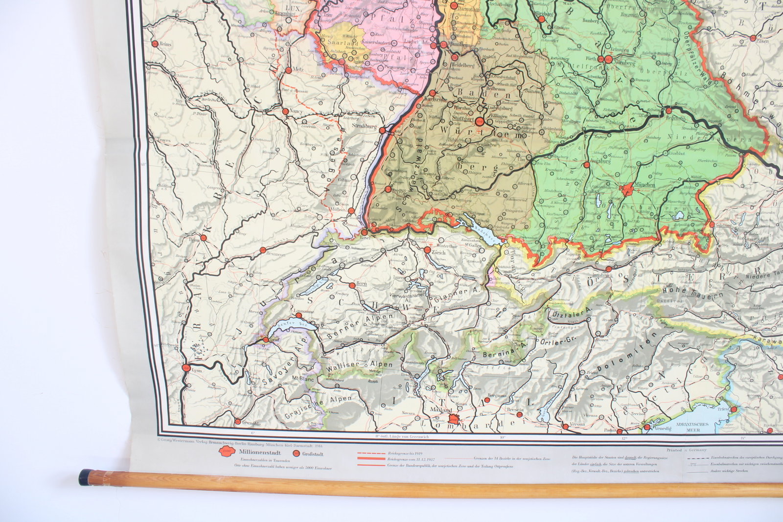
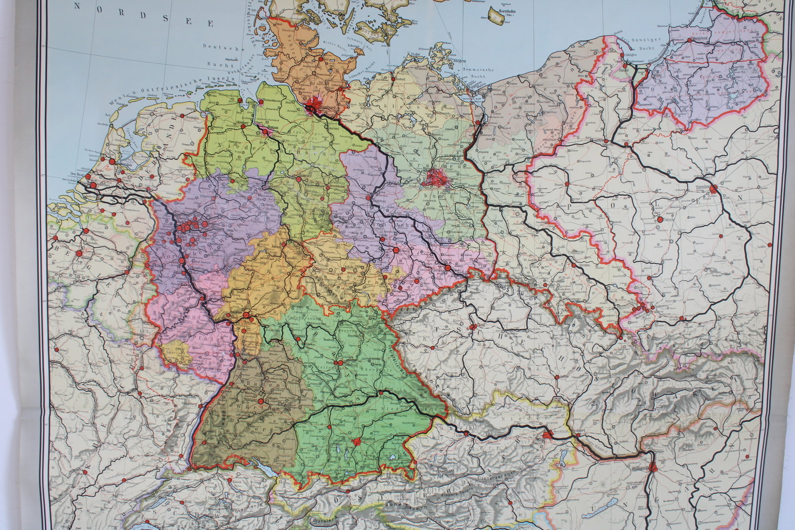
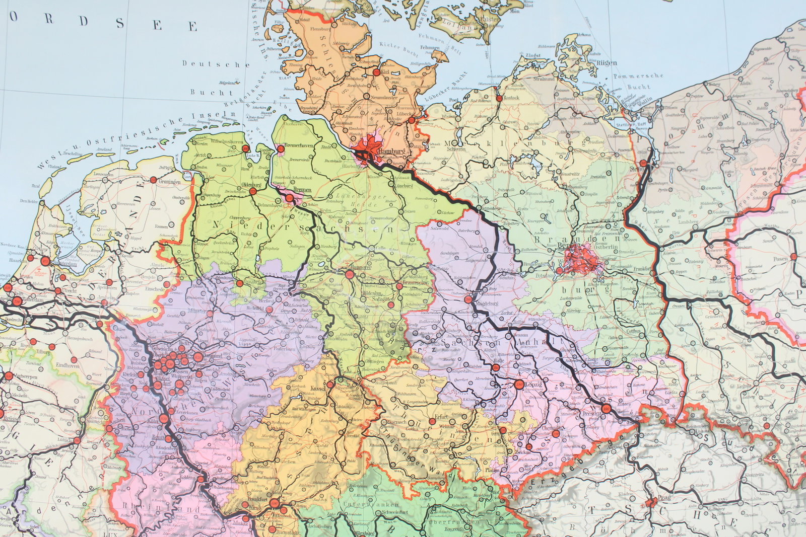
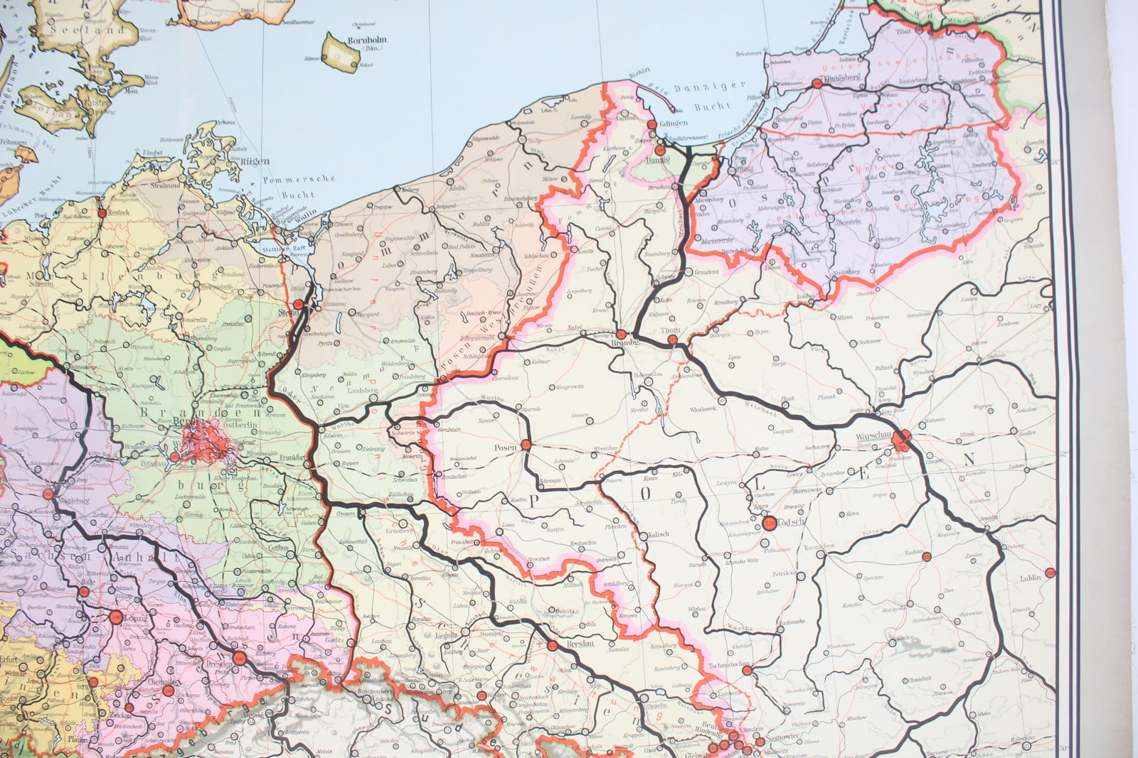
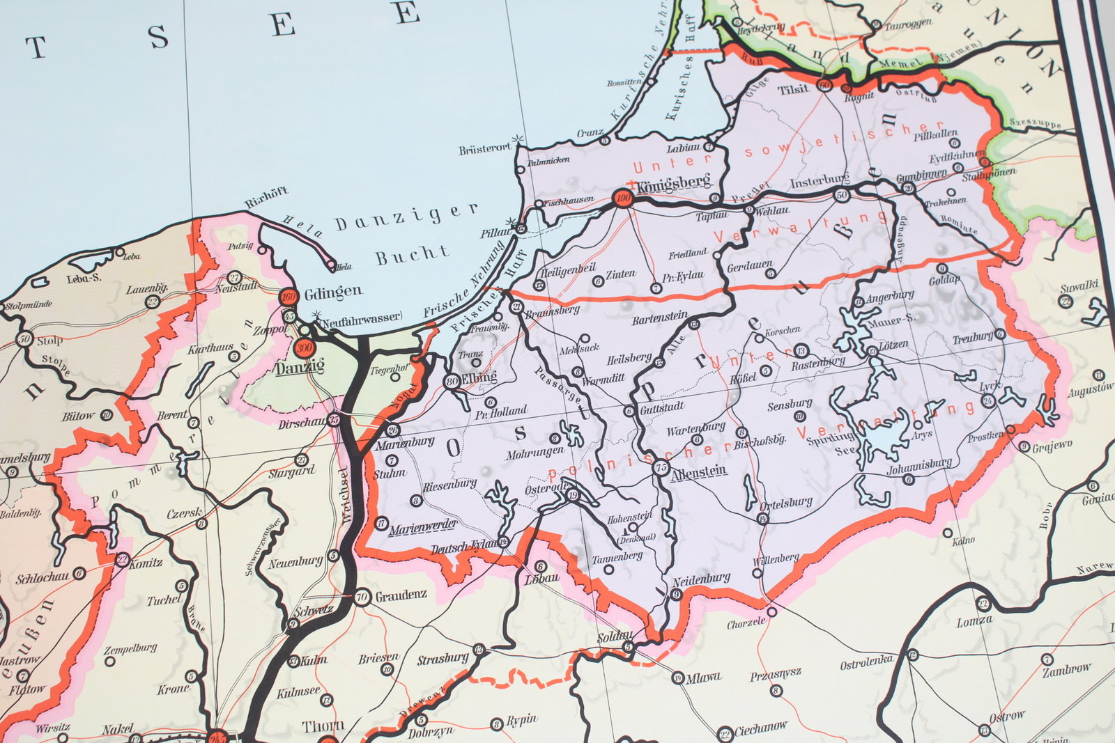
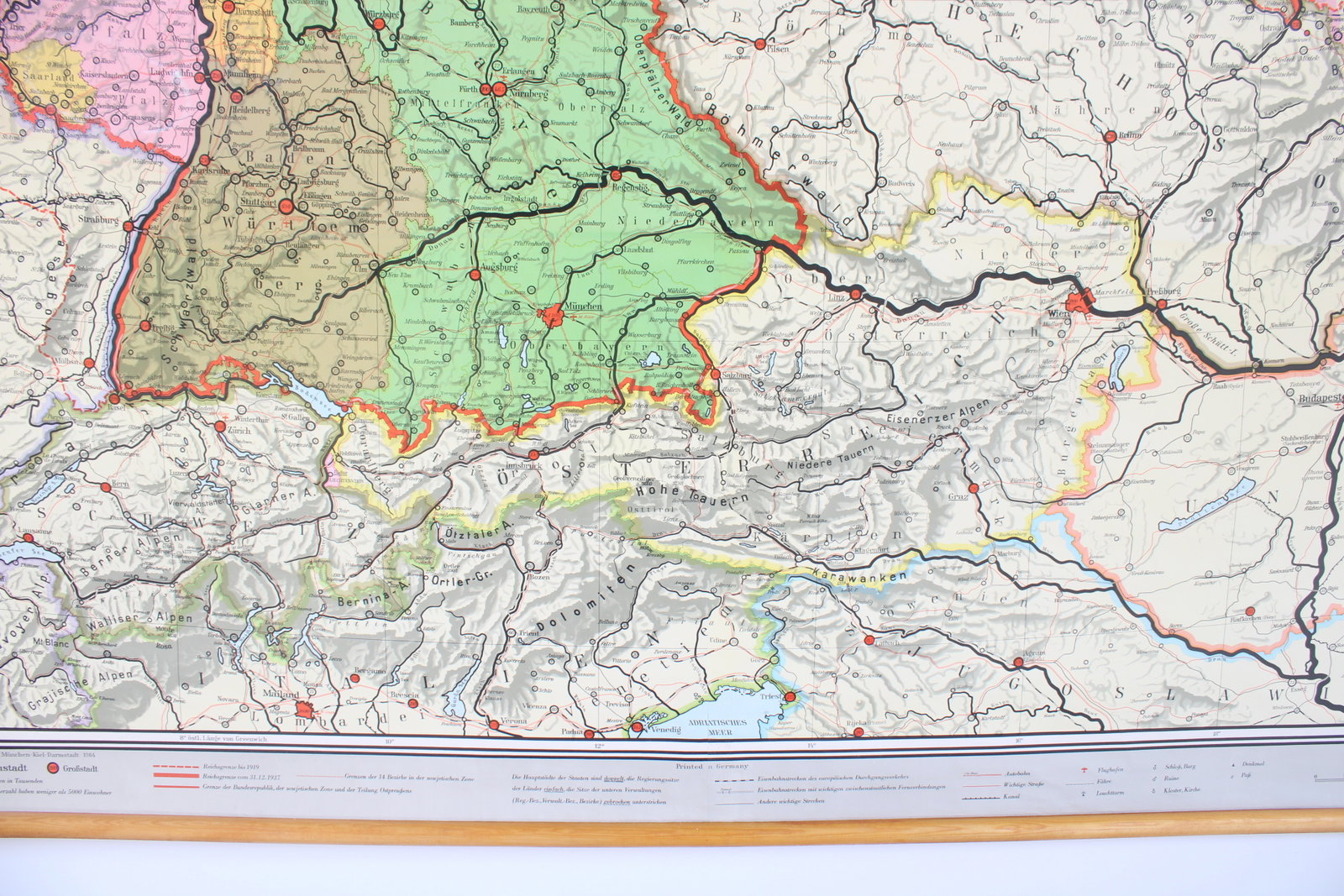
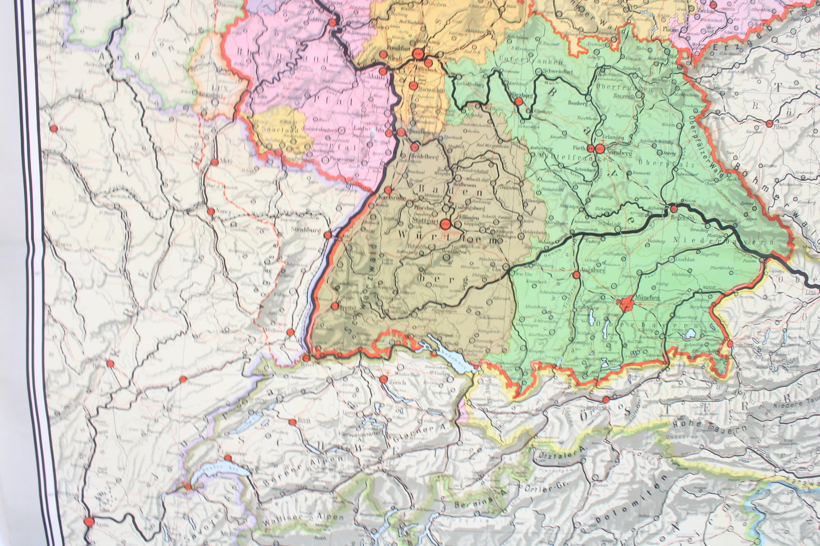
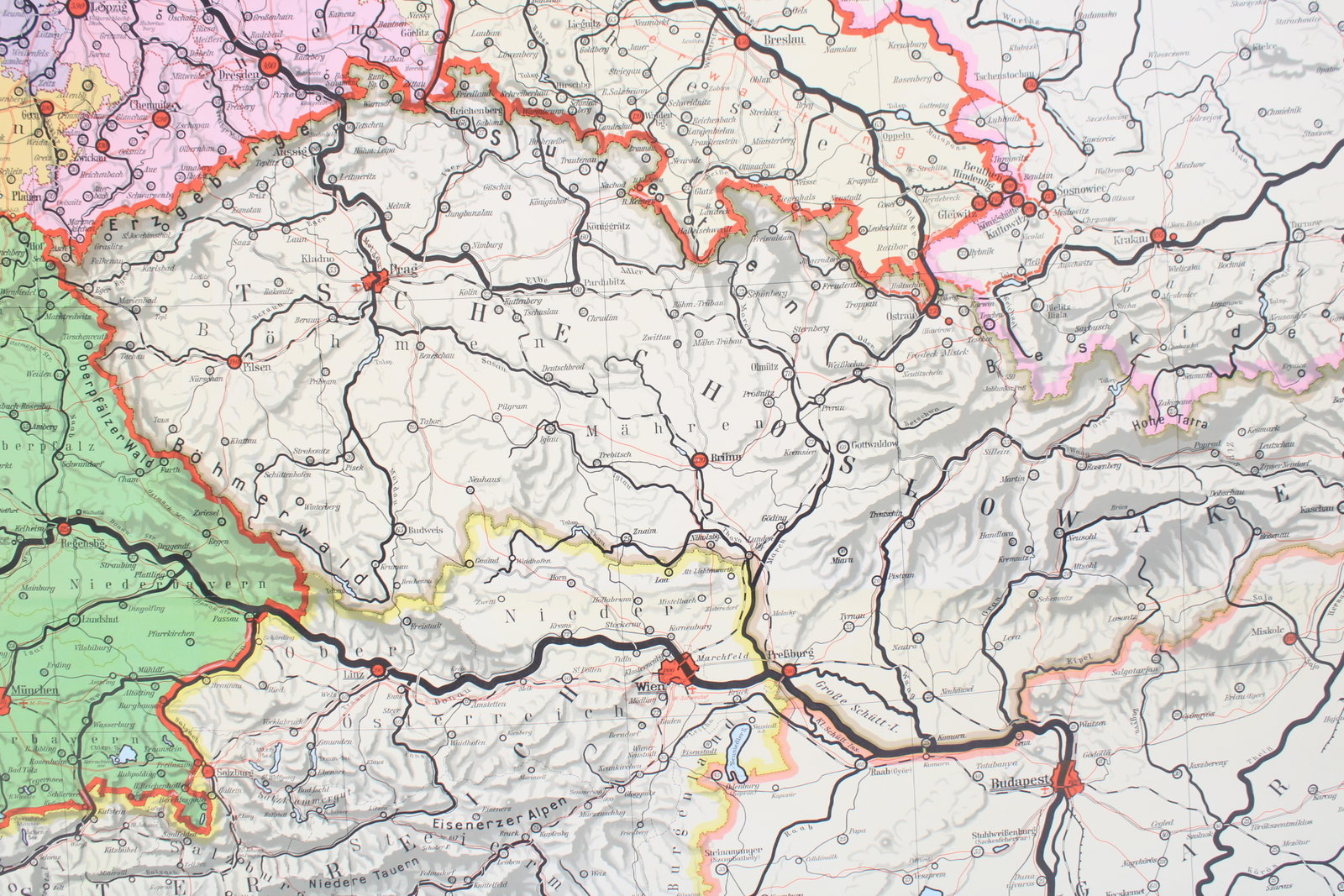
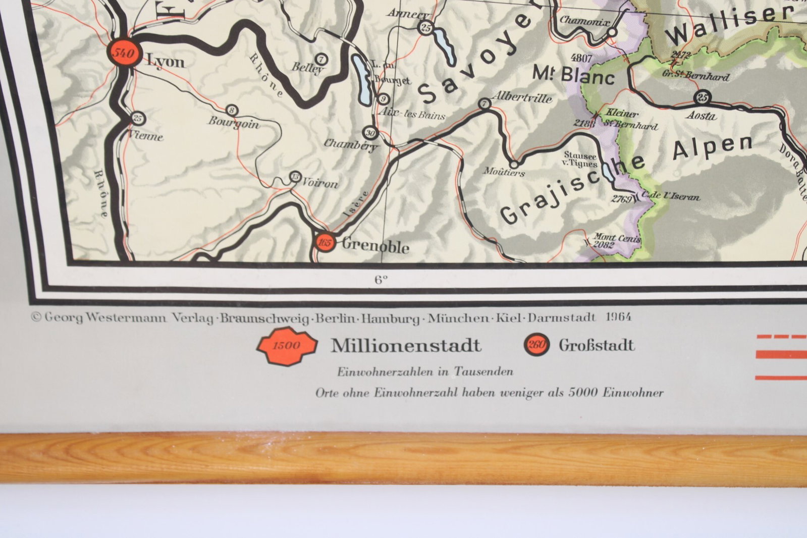
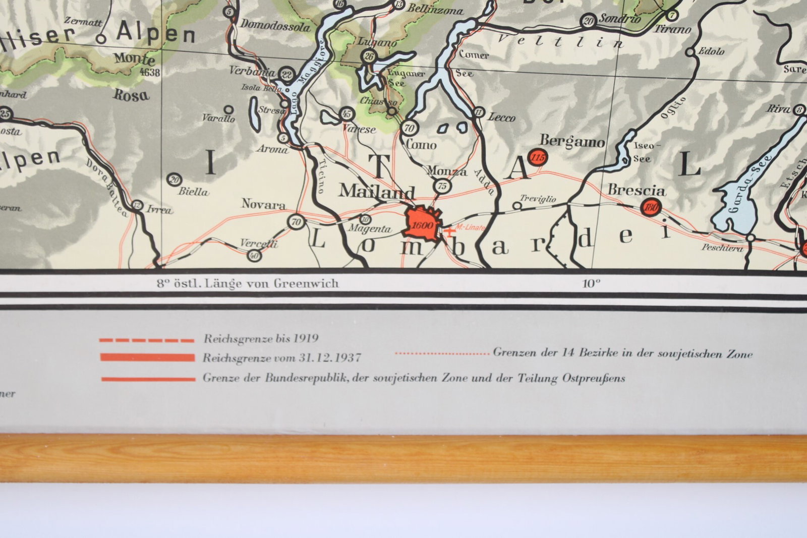
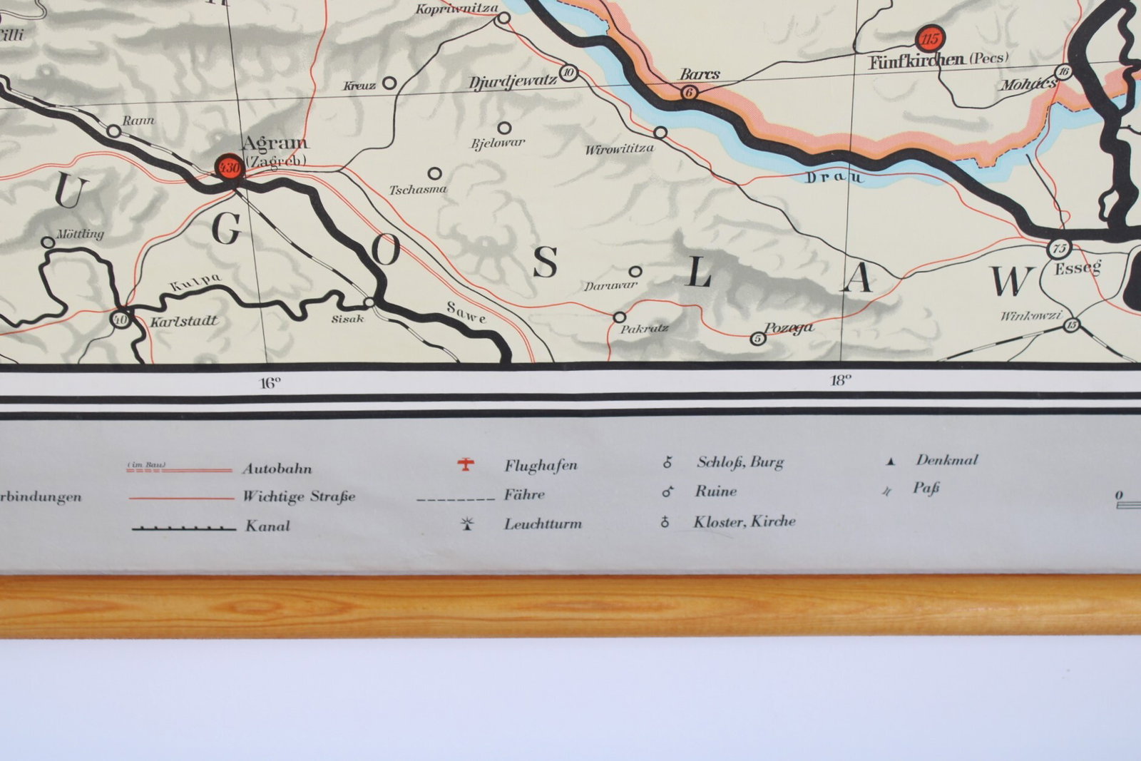
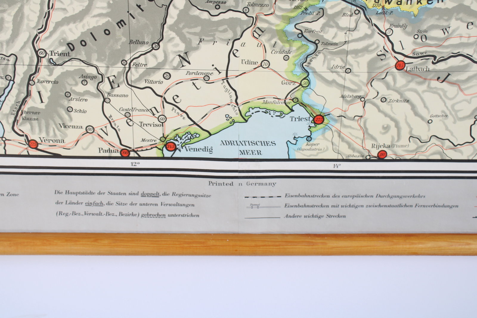
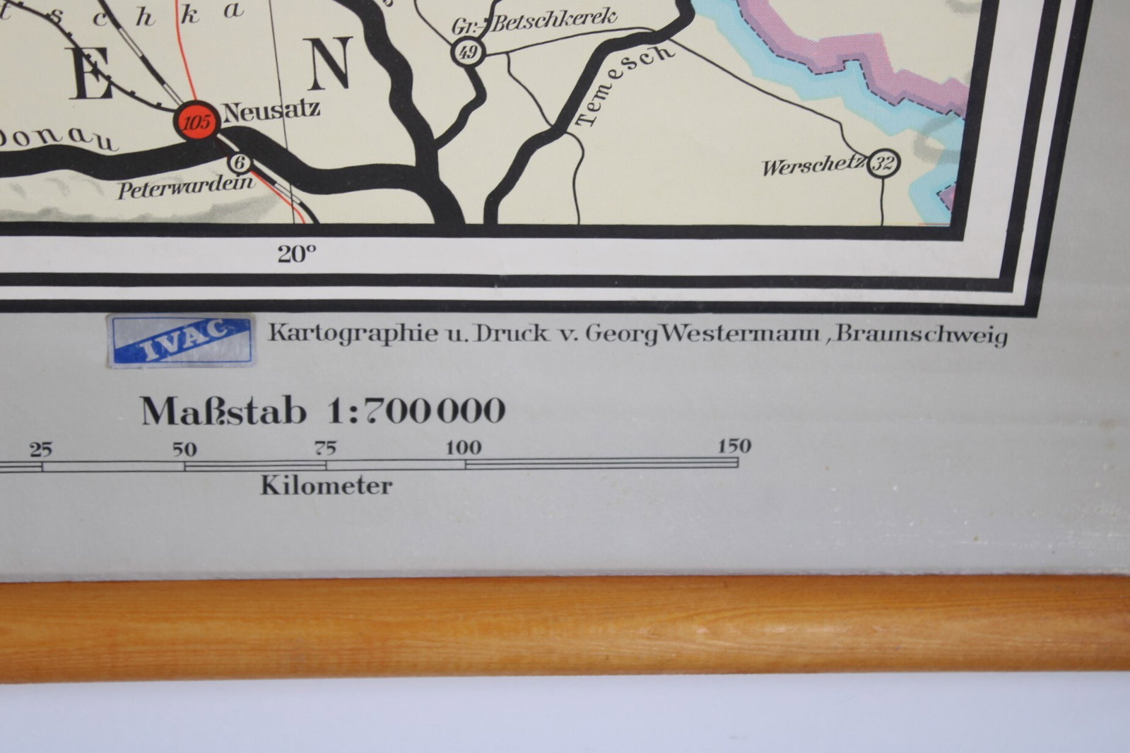
School map Germany, 1964
€45,00
- Description
A very large classroom map titled "Deutschland und Nachbarländer". The wall chart of Germany shows neighboring countries and national borders from 1919 and 1937, as well as the division between West and East Germany. It features German-language names for territories that are now part of Poland and Russia. Westermann. 1964. 7th edition. (18, 24)
In good condition. Height 193 cm, width 204 cm (230 cm including rods).
- Shipping Costs
- in store pick-up only