
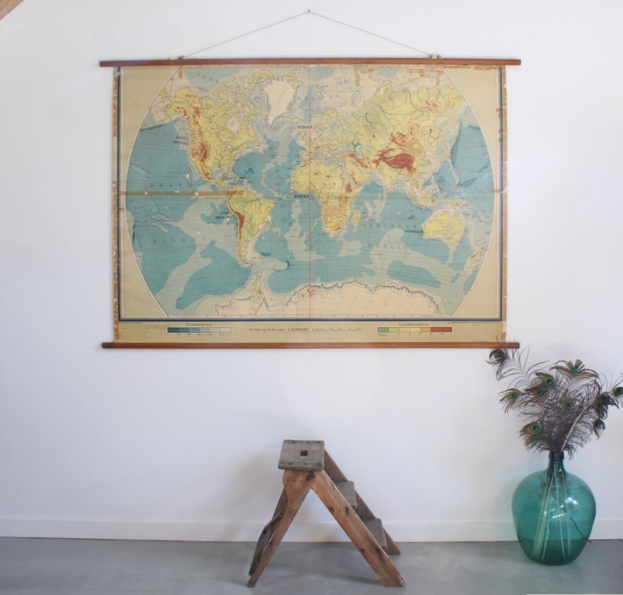
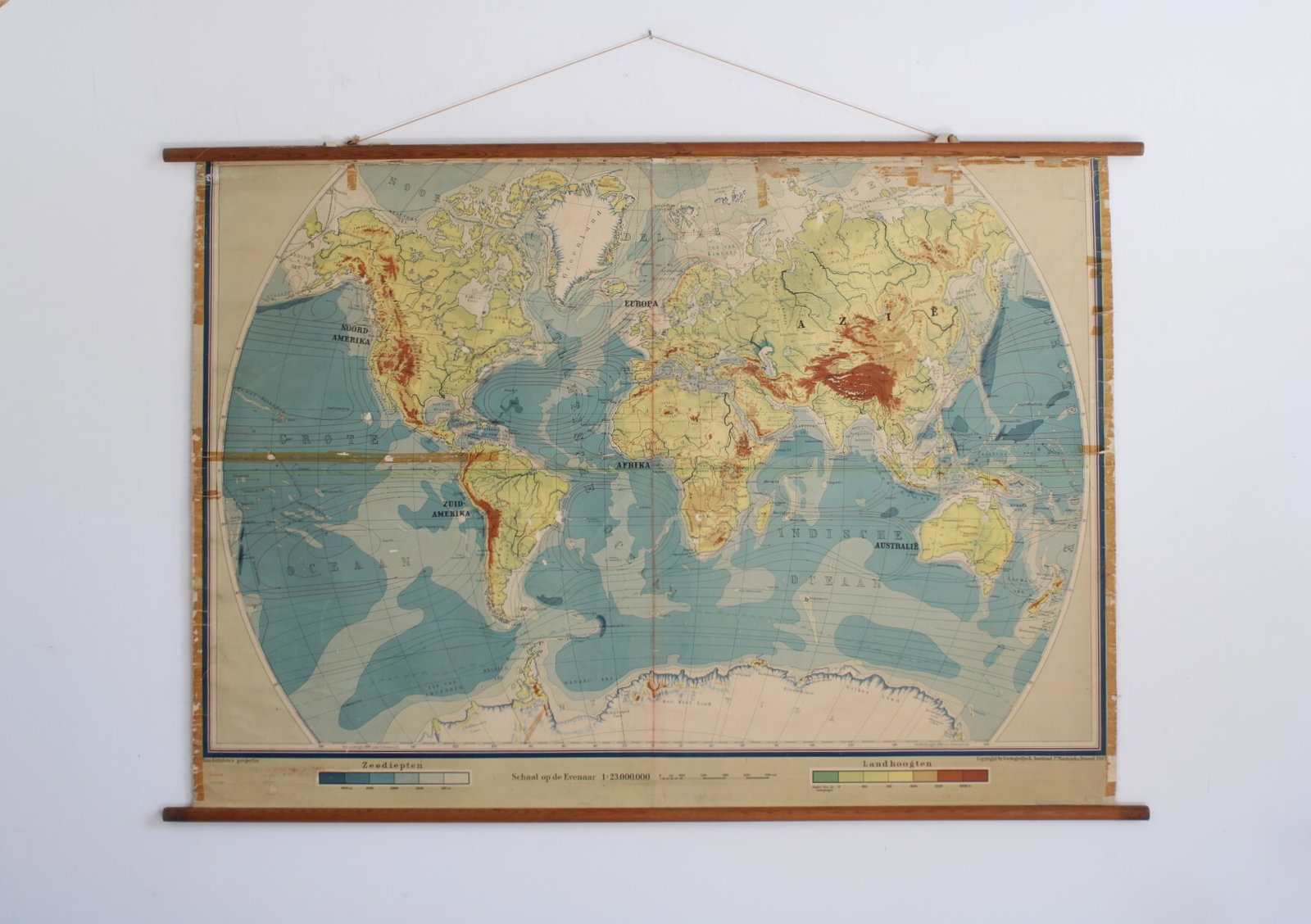
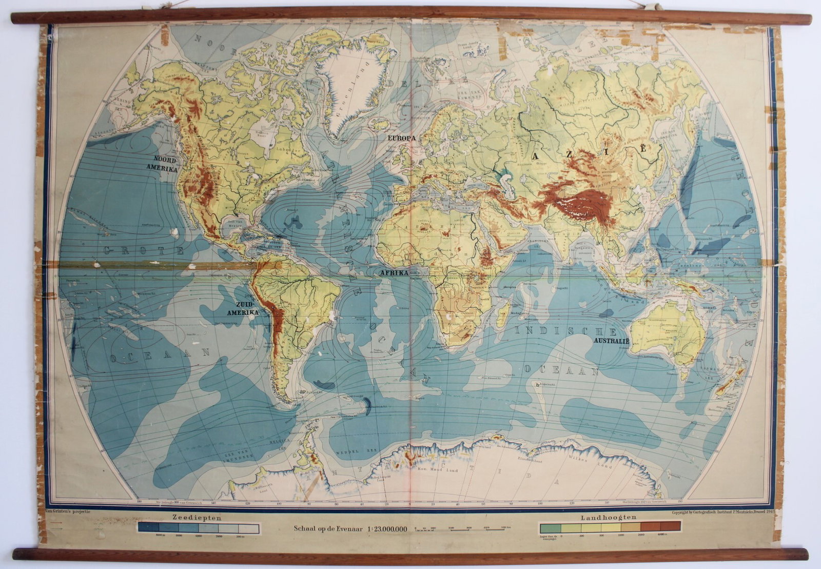
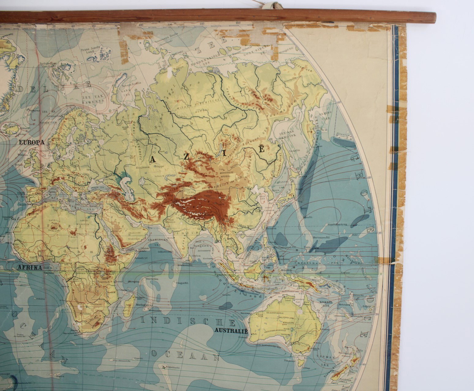
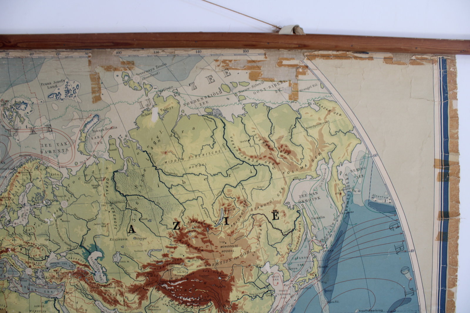
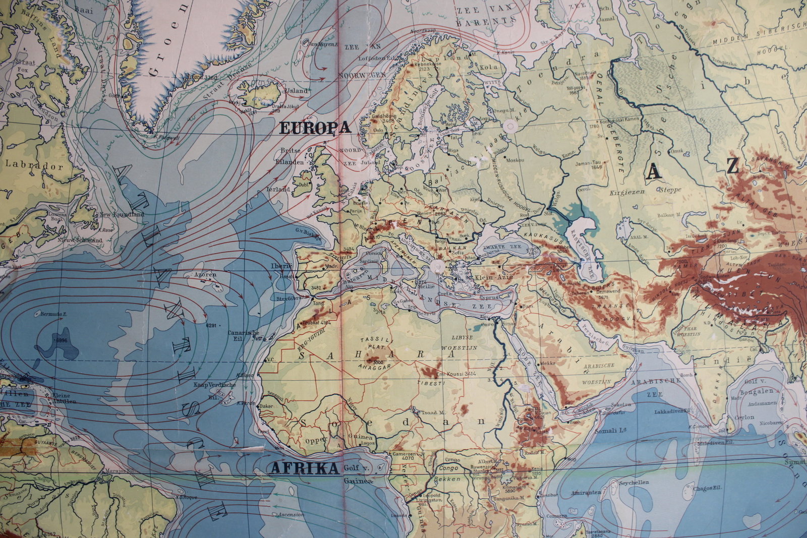
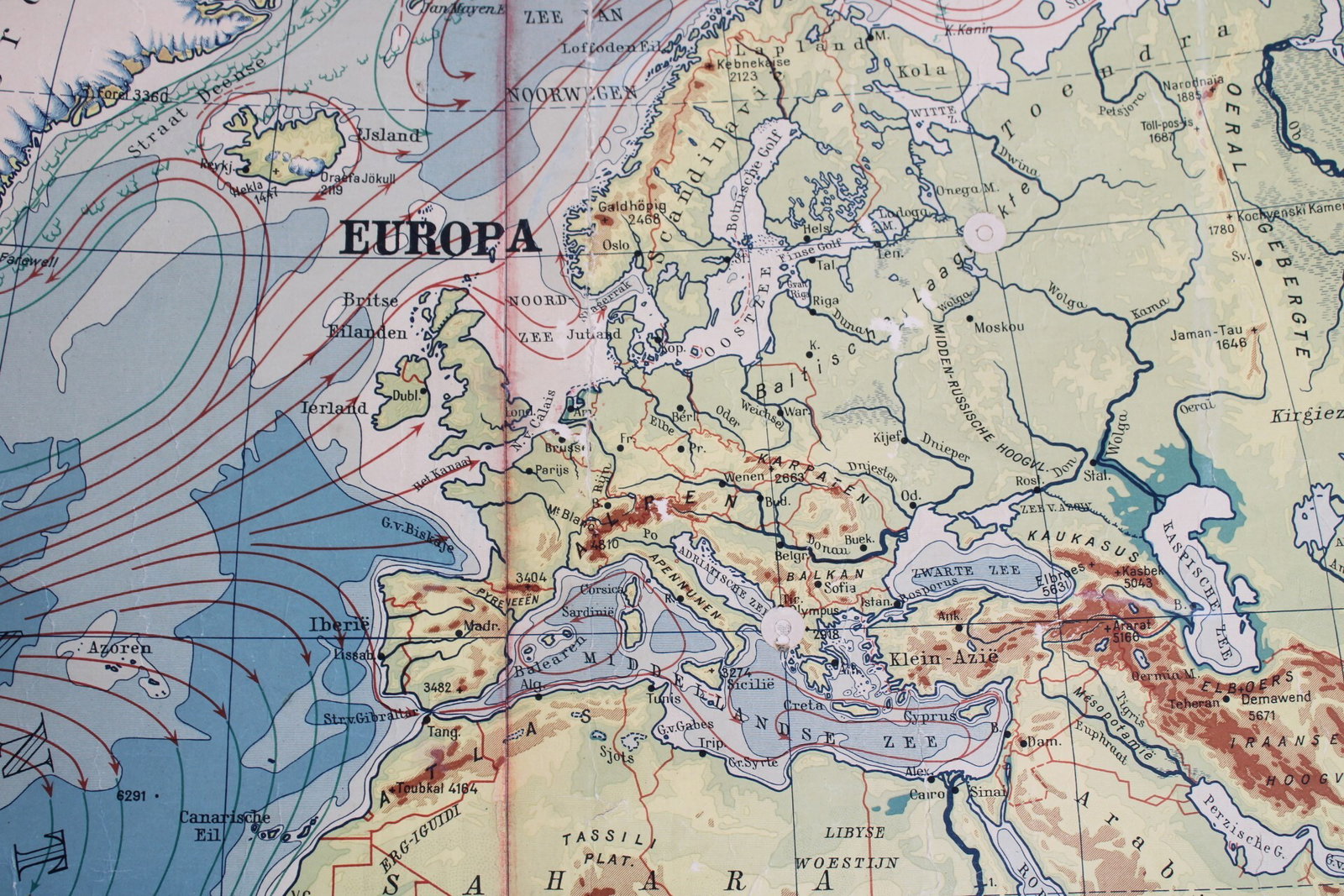
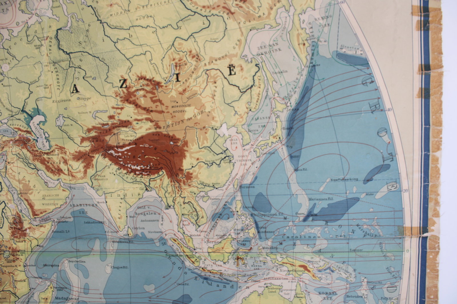
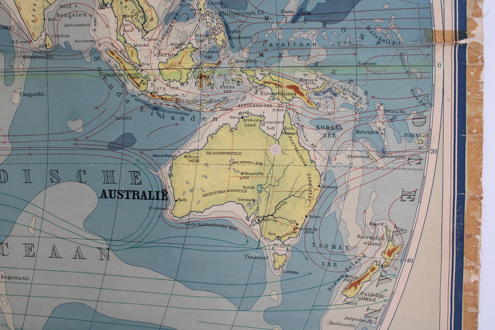
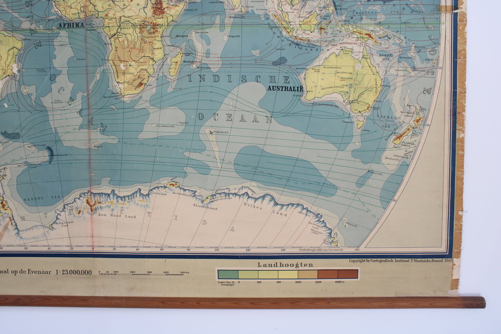
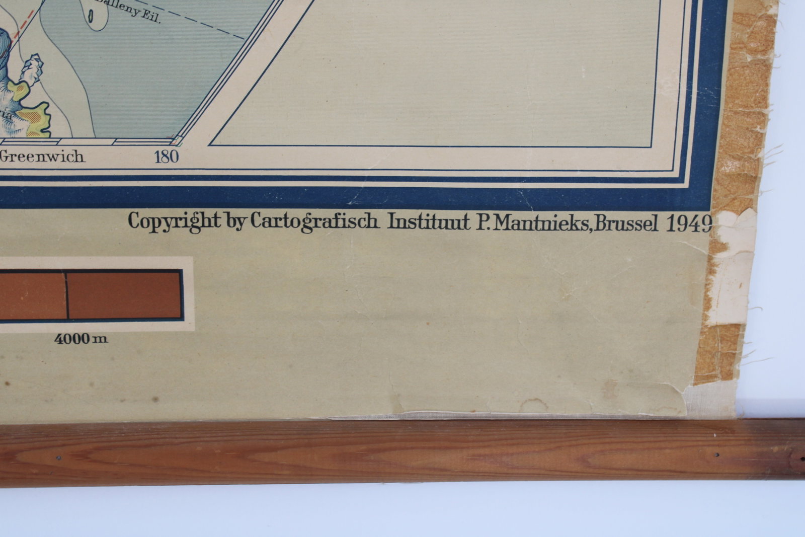
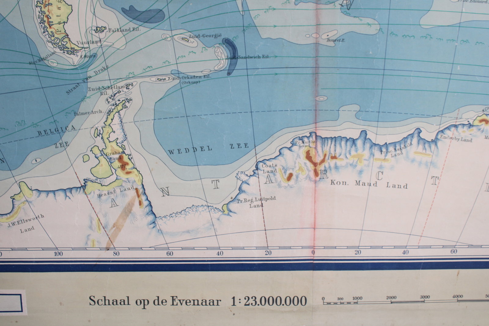
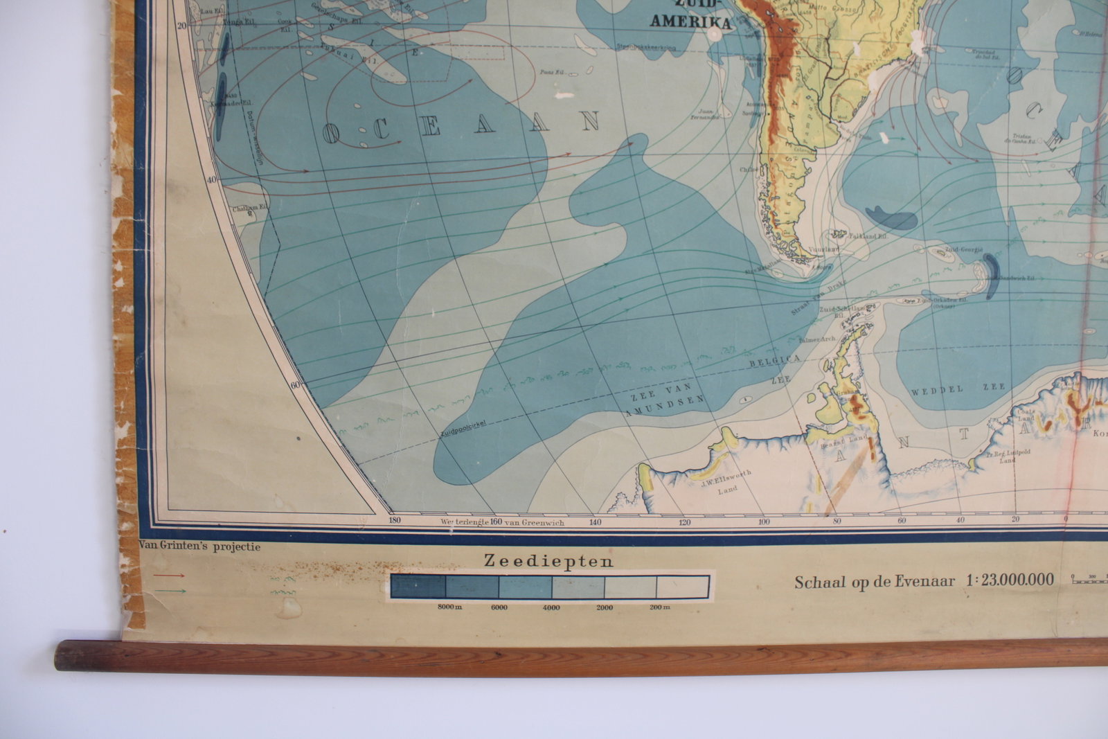
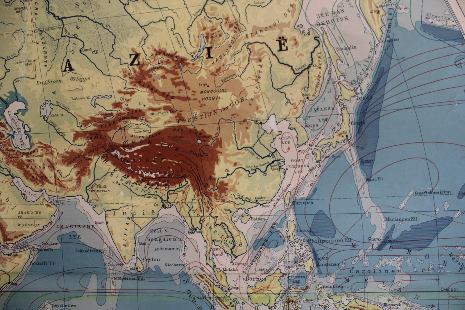
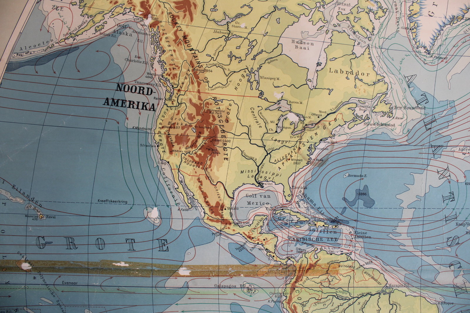
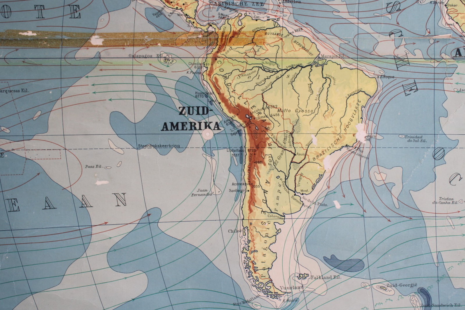
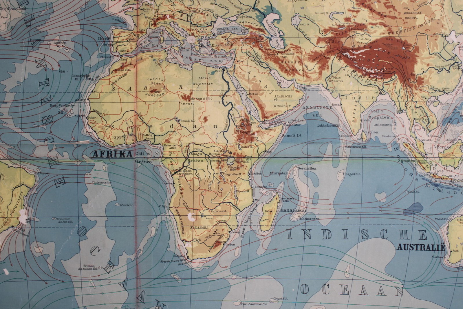
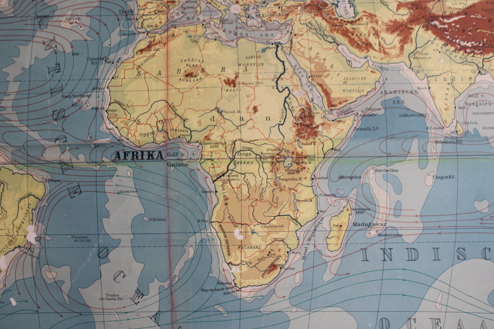
old world school map 1949
€145,00
- Description
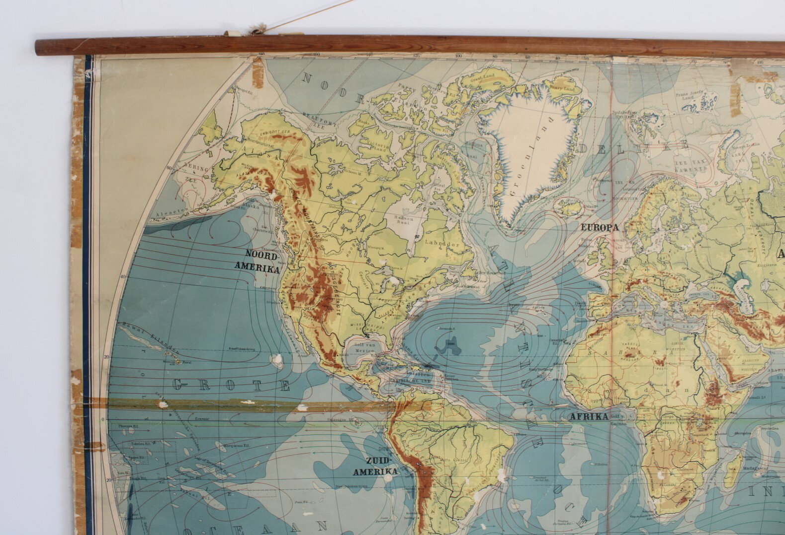
An old school map, wall chart, world map from 1949 published by Cartographic Institute P. Mantnieks, Brussels. Physical map with indications of elevations, mountain ranges, rivers, ocean currents, etc.
In relatively good condition with various minor damages.
Height 136 cm, width 186 cm (incl. poles: 198 cm). (7A)
- Shipping Costs
- Shipment possible or pick-up at the store