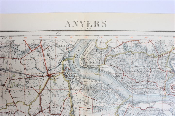
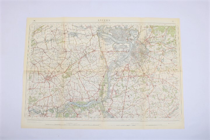
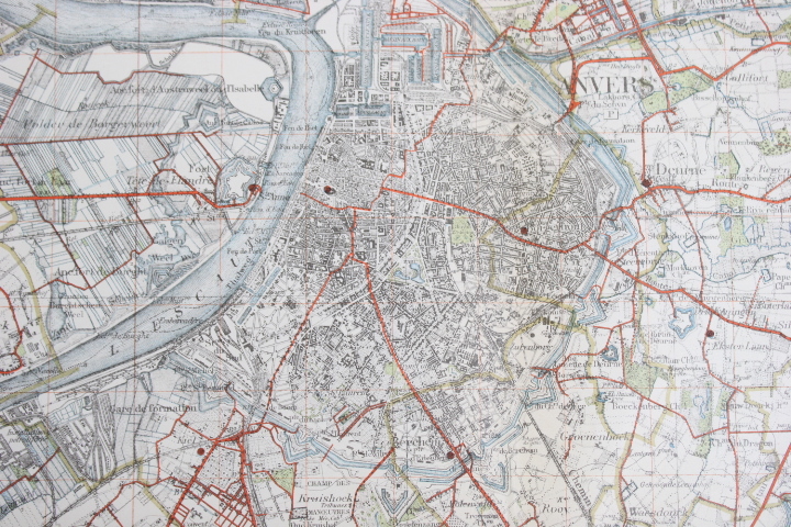
old map of Antwerp, 1900's
Sold
Sorry, this product is not available anymore. Follow us on Facebook or subscribe to our newletter to discover our new arrivals.
- Description
Map of Antwerp en its region, last revisions 1909-1911-1923. Incl. Bornem, Duffel, Sint-Niklaas, Temse.
map nr 15, scale 1/40.000. Dim: 60*85 cm.
- Shipping Costs
- Shipment possible or pick-up at the store