old map of Tervuren
Sold
Sorry, this product is not available anymore. Follow us on Facebook or subscribe to our newletter to discover our new arrivals.
- Description
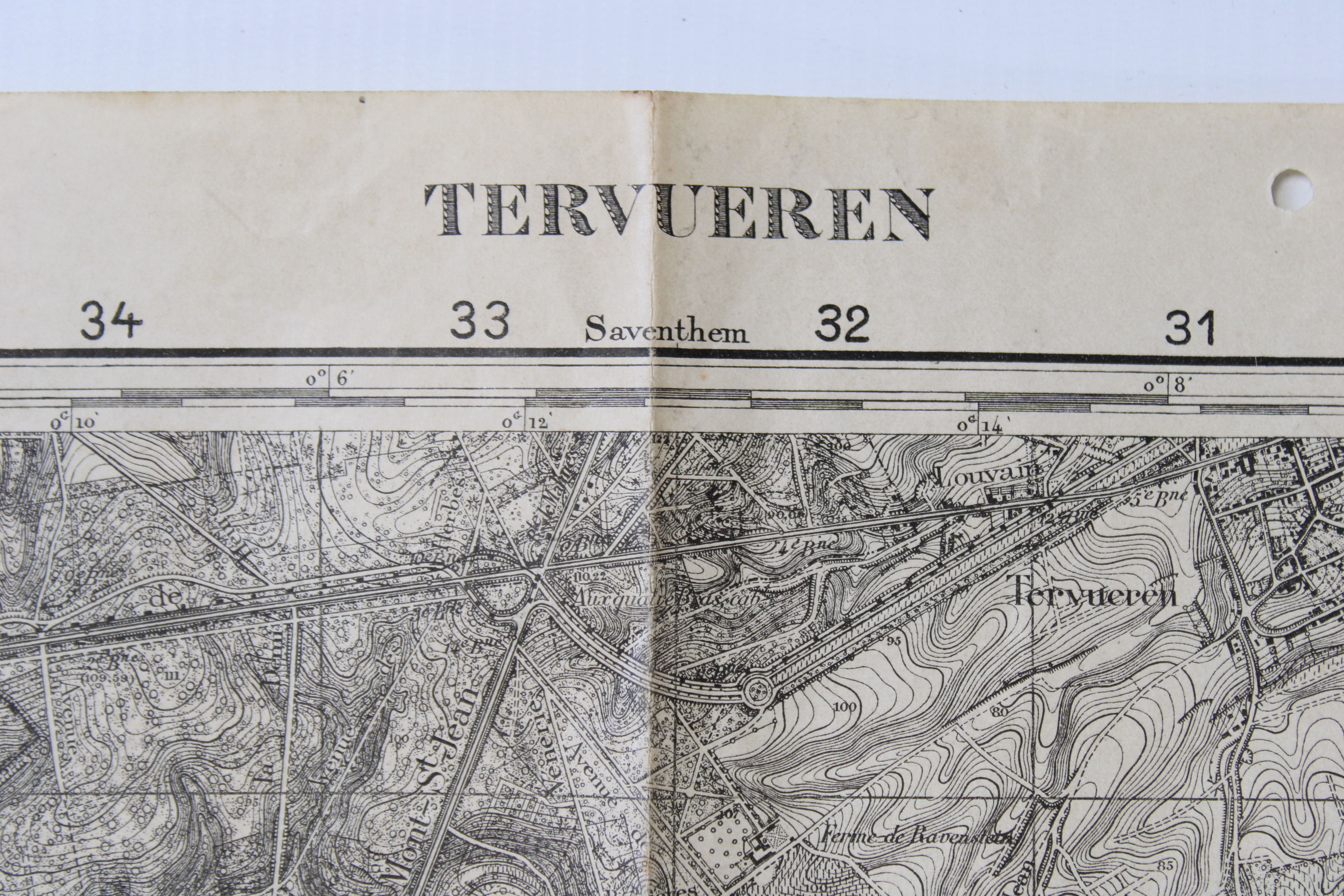
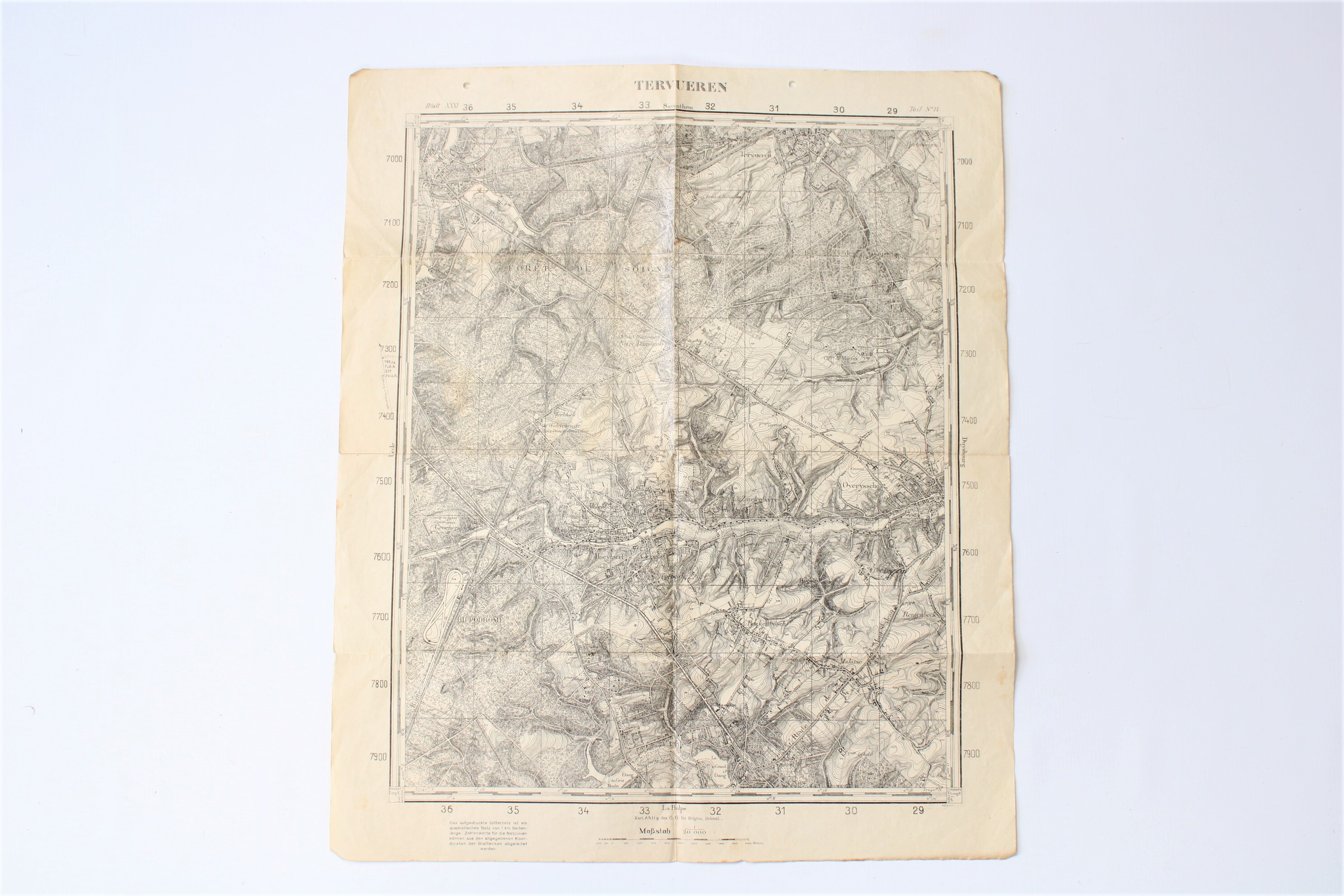
Map of the region between Tervuren and Genval, ie the South of Brussels. Also the villages of Overijse (Overyssche), Hoeilaart (Hoeylaert), Auderghem are on the map. The date is not well printed but probabaly beginning of the 20th century. German text. Scale 1:20.000.
Dim: 50,5 * 60cm.
- Shipping Costs
- Shipment possible or pick-up at the store