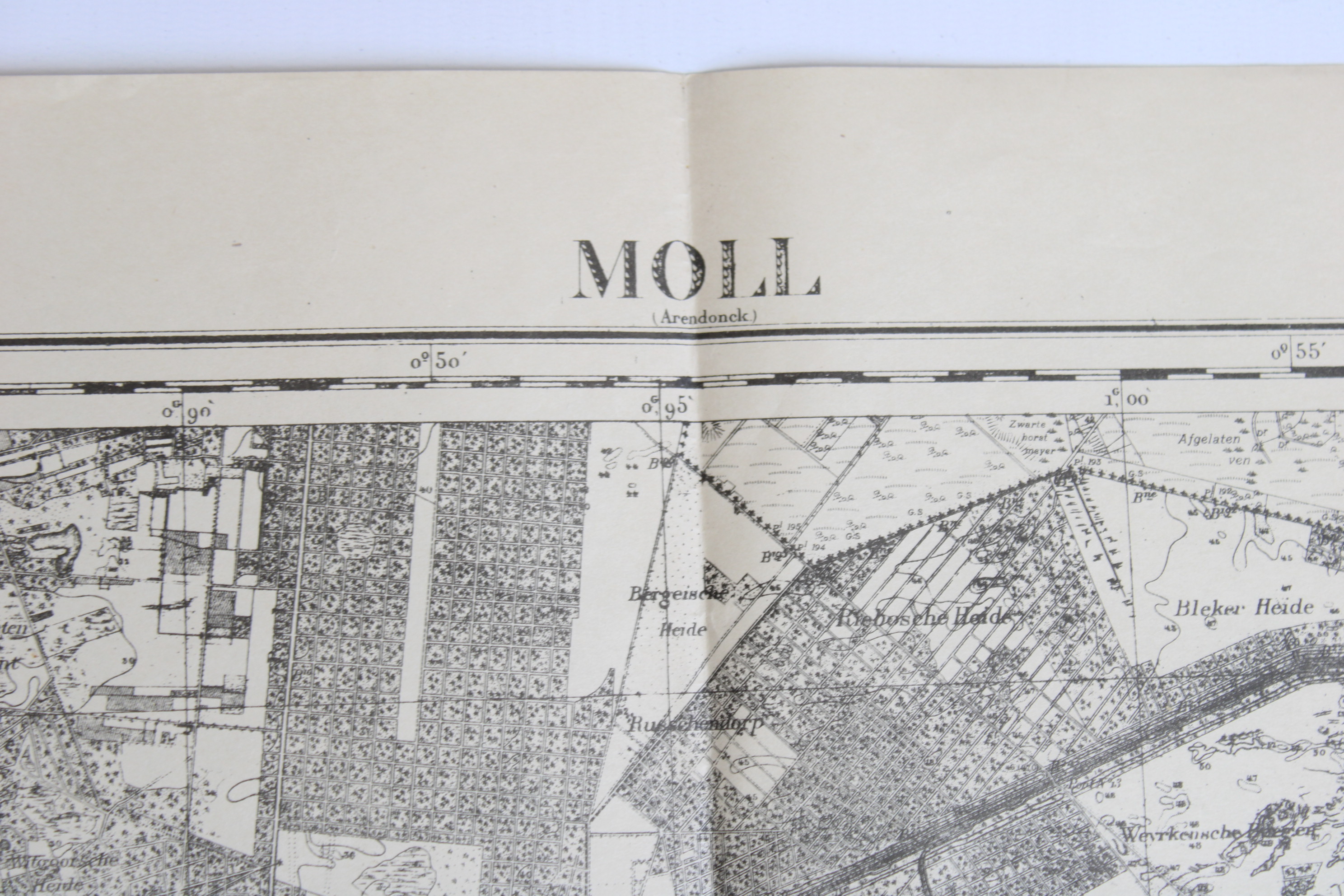
old topographic map of Mol, 1915
Sold
Sorry, this product is not available anymore. Follow us on Facebook or subscribe to our newletter to discover our new arrivals.
- Description
Very old english map of the region of Mol: "Moll, n°17". Scale 1:40.000, dated 1915. Also a lot of other villages on this map: Geel, Meerhout, Lommel, Neerpelt, Overpelt, Kleine-Brogel, Hechtel, Leopoldsburg, Kwaadmechelen, Oostham, Heppen, Olmen, Balen. Also englisch maps of 1925 available of the regions of Liège en Waremme
Dim: 85,5*63 cm.
- Shipping Costs
- Shipment possible or pick-up at the store