
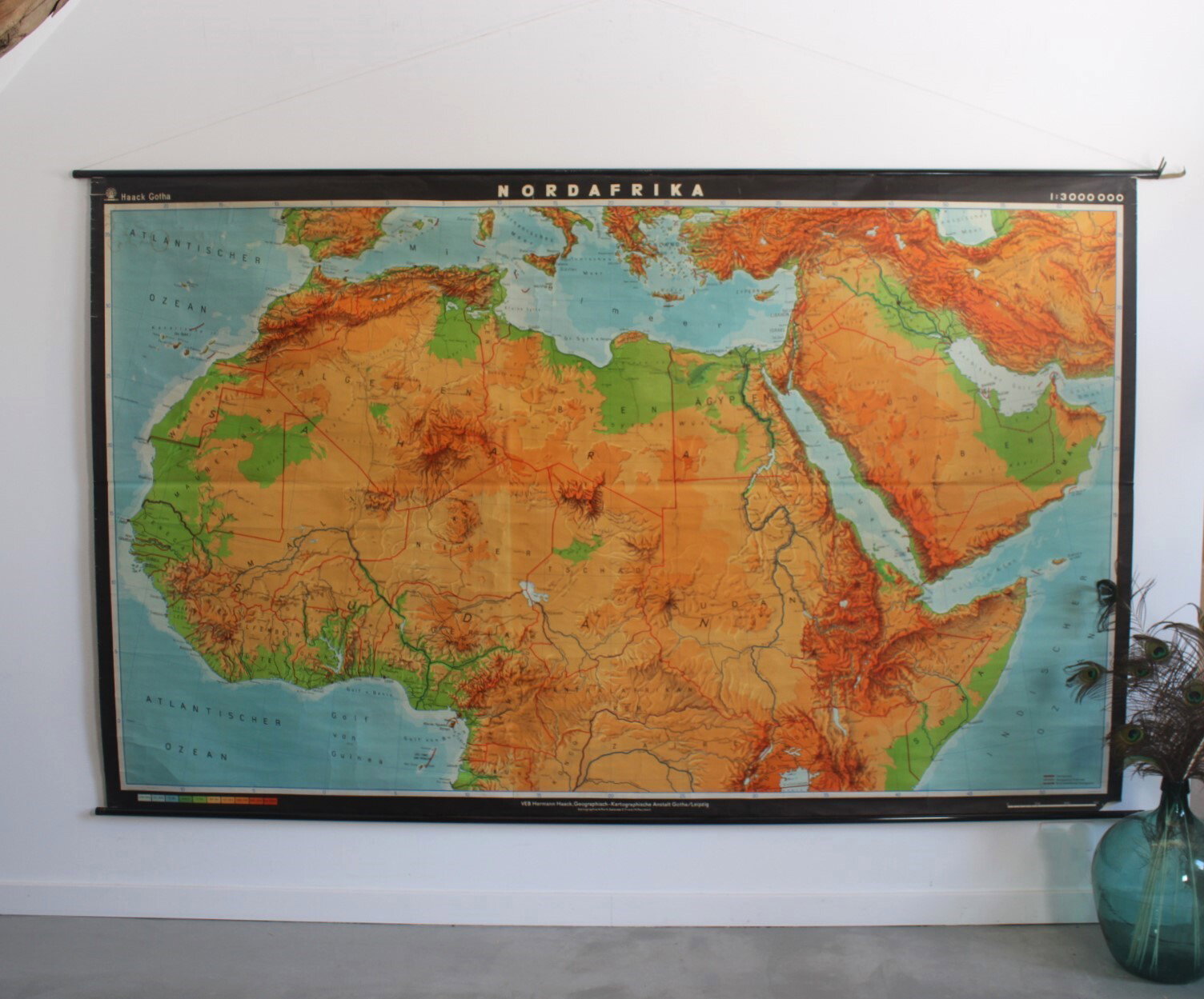
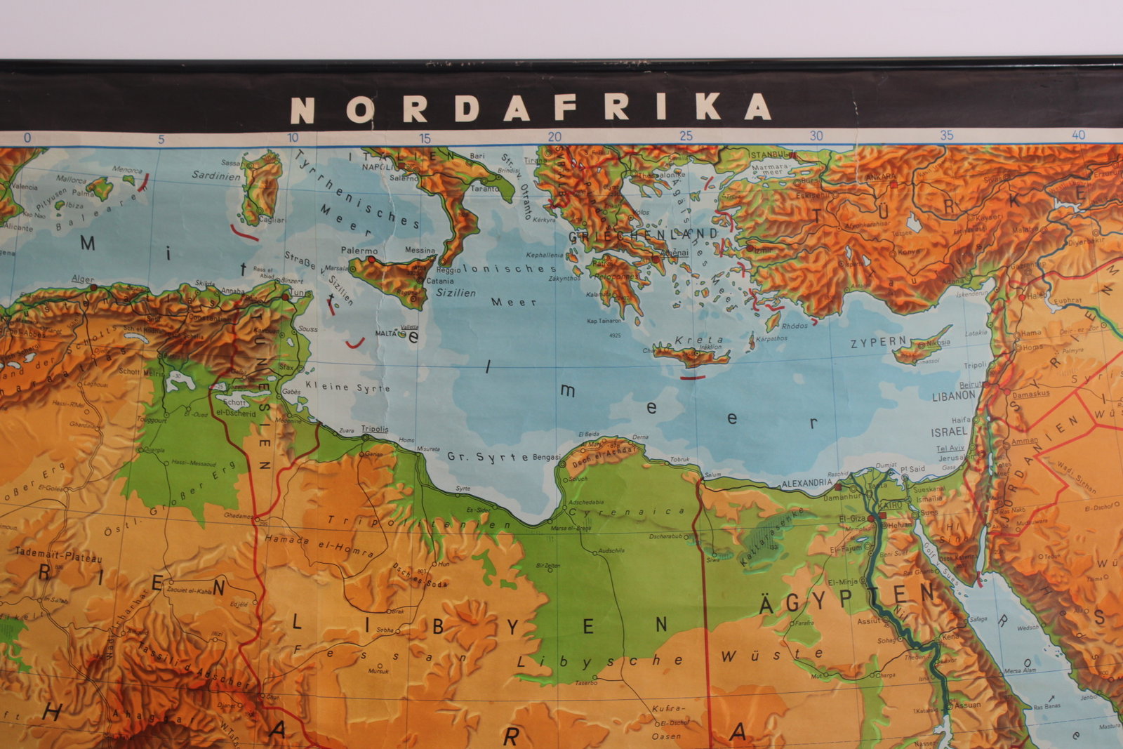
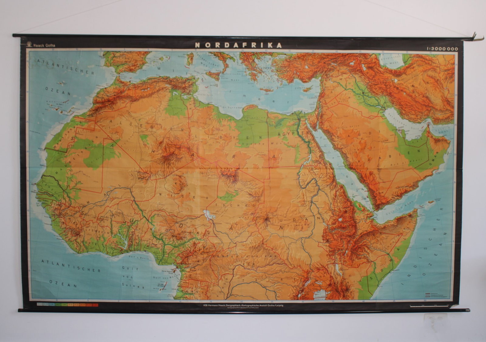
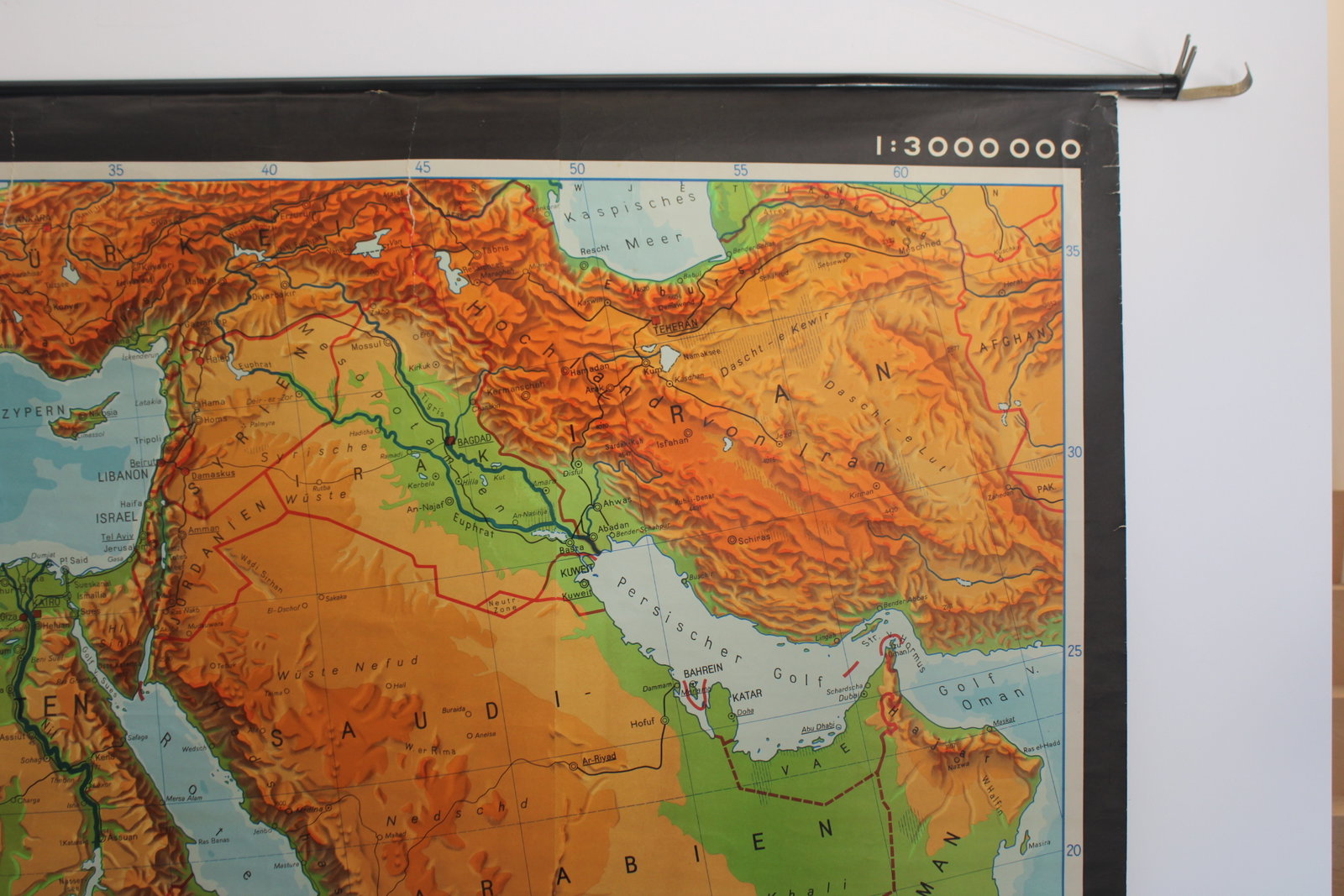
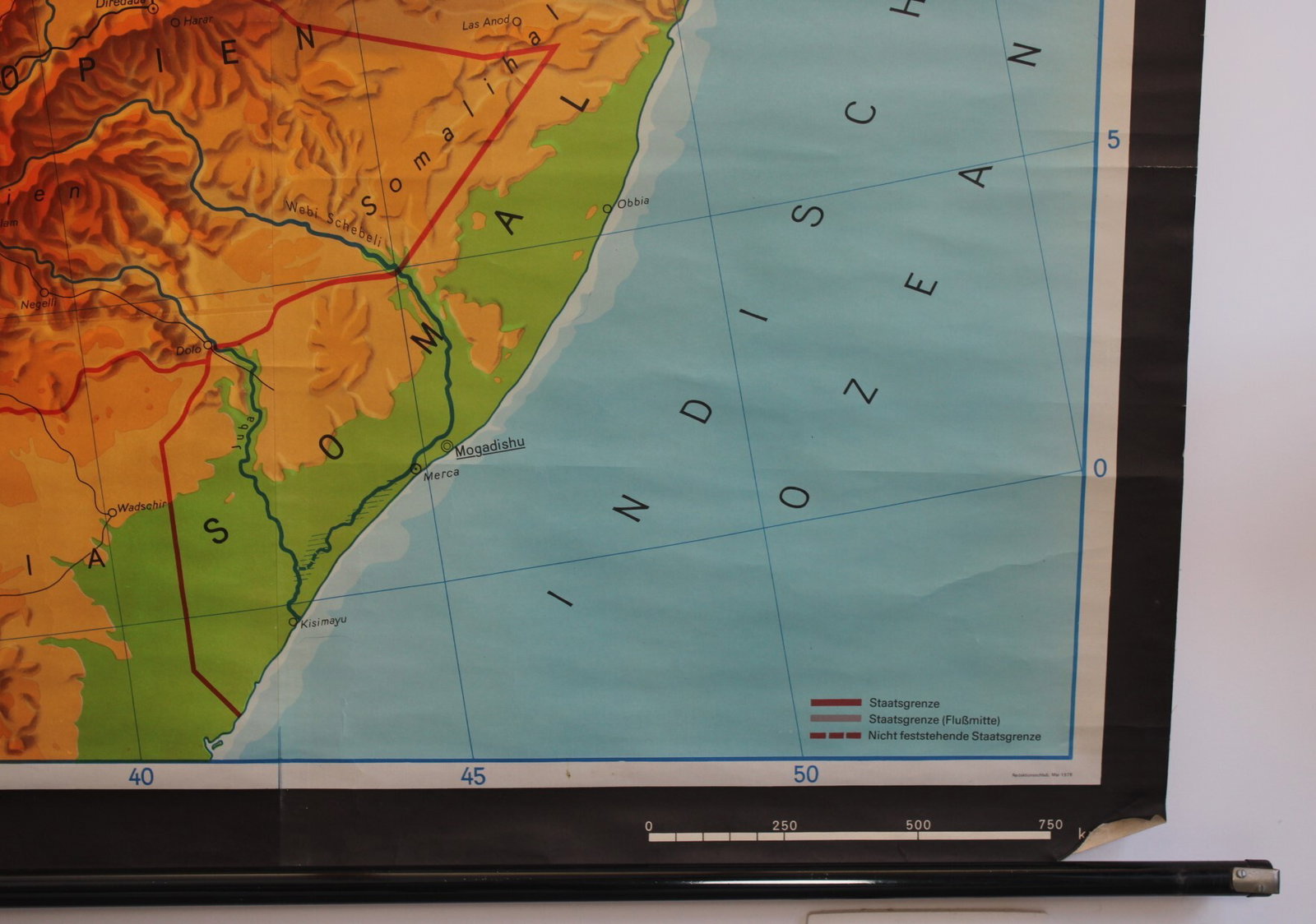
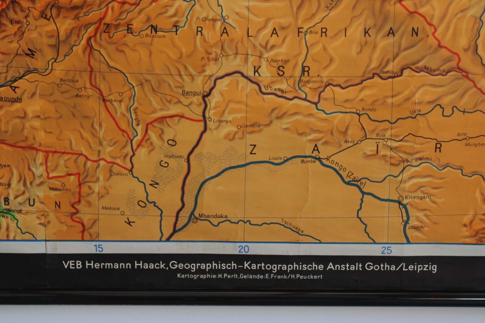
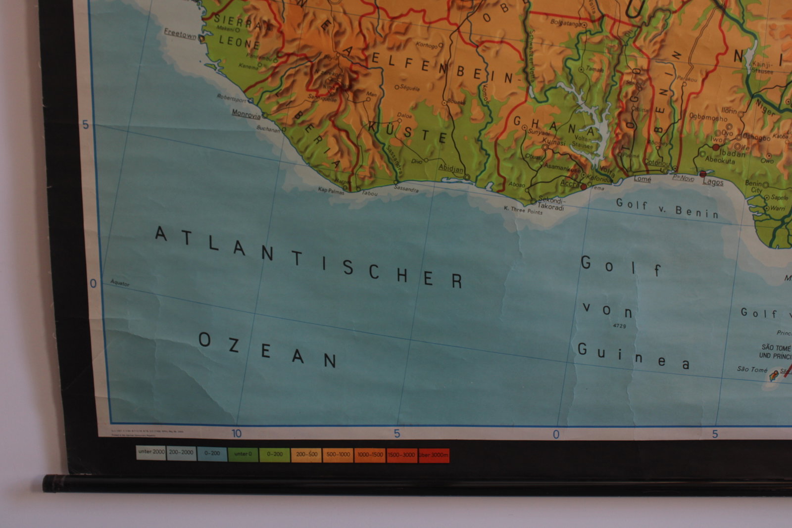
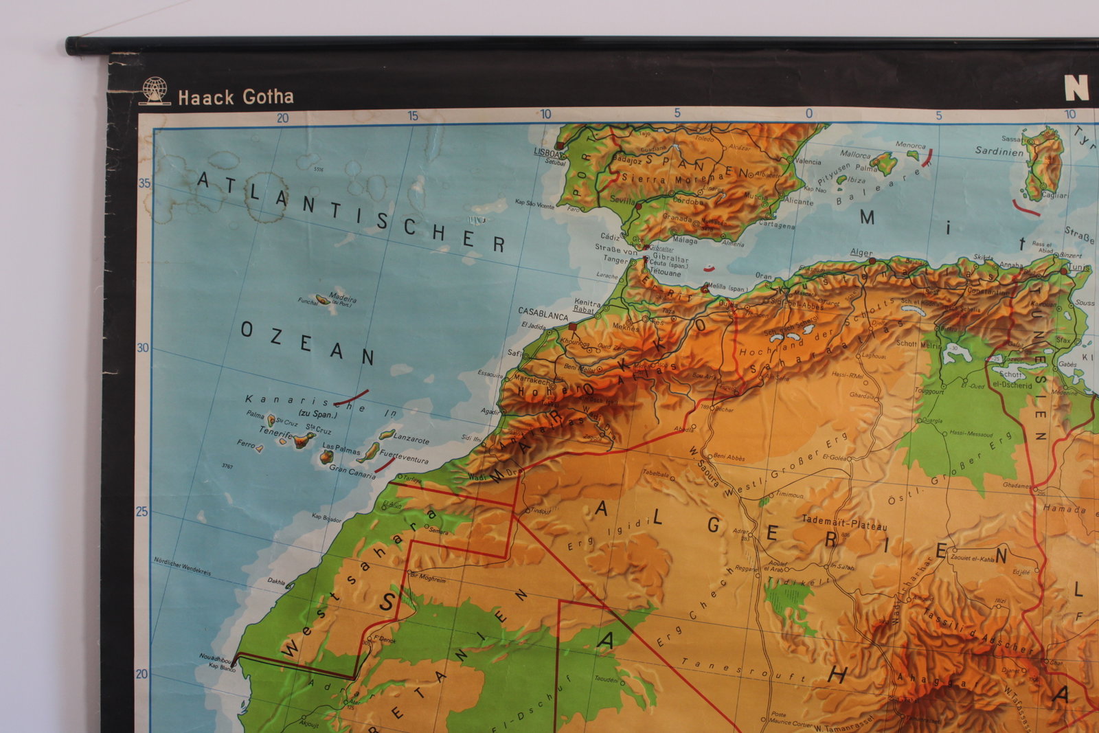
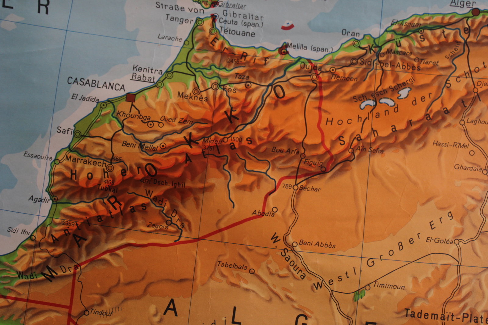
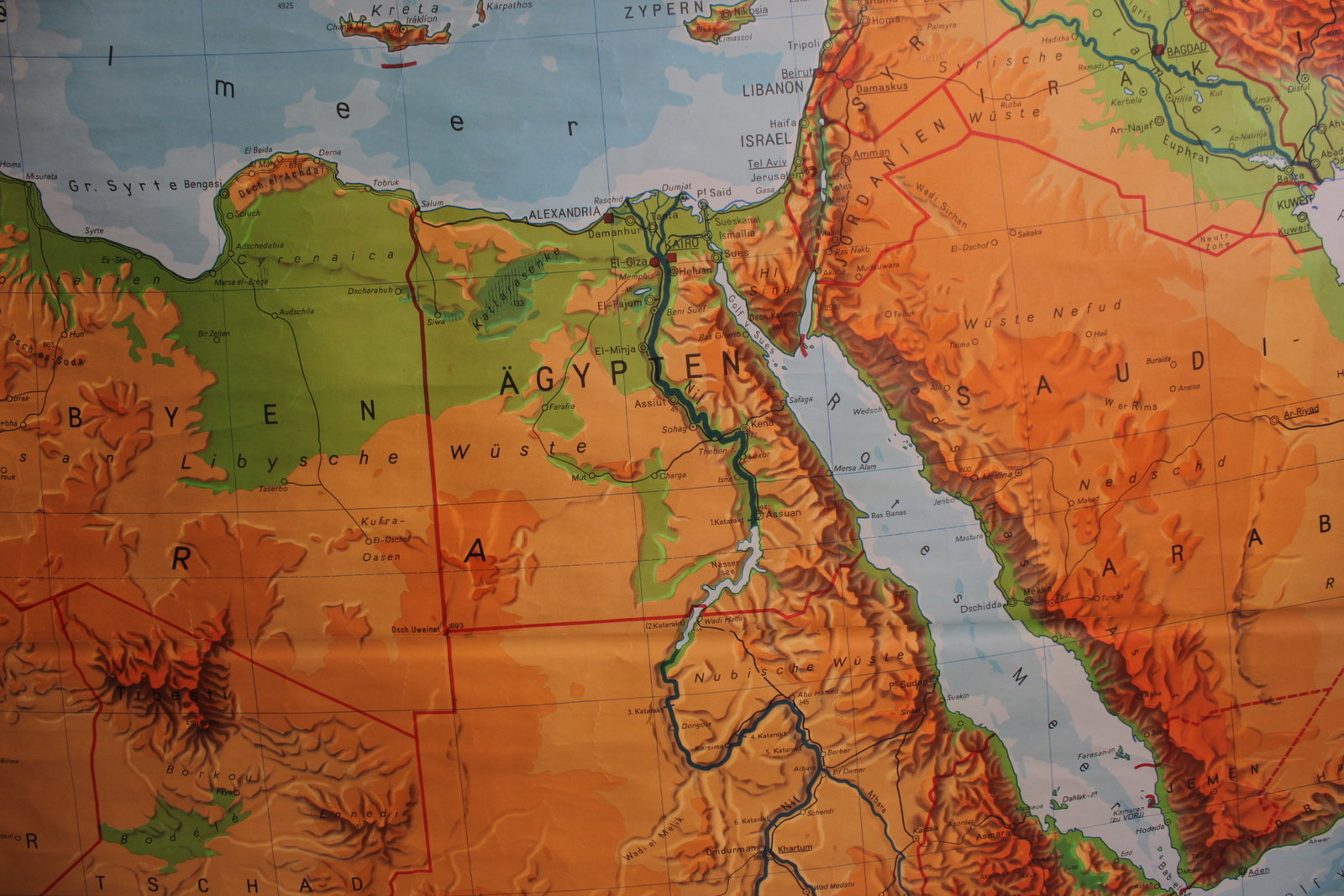
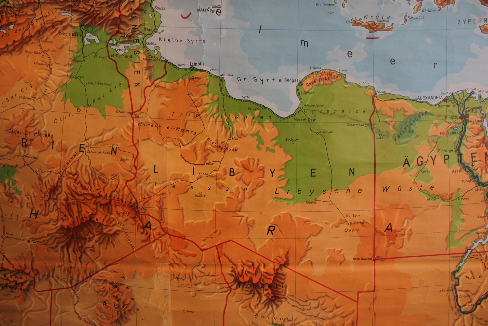
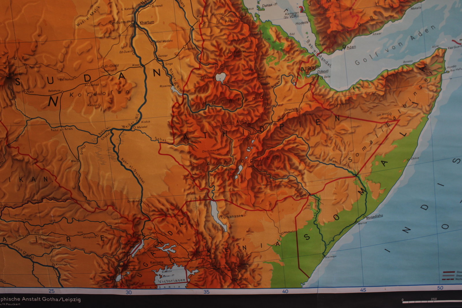
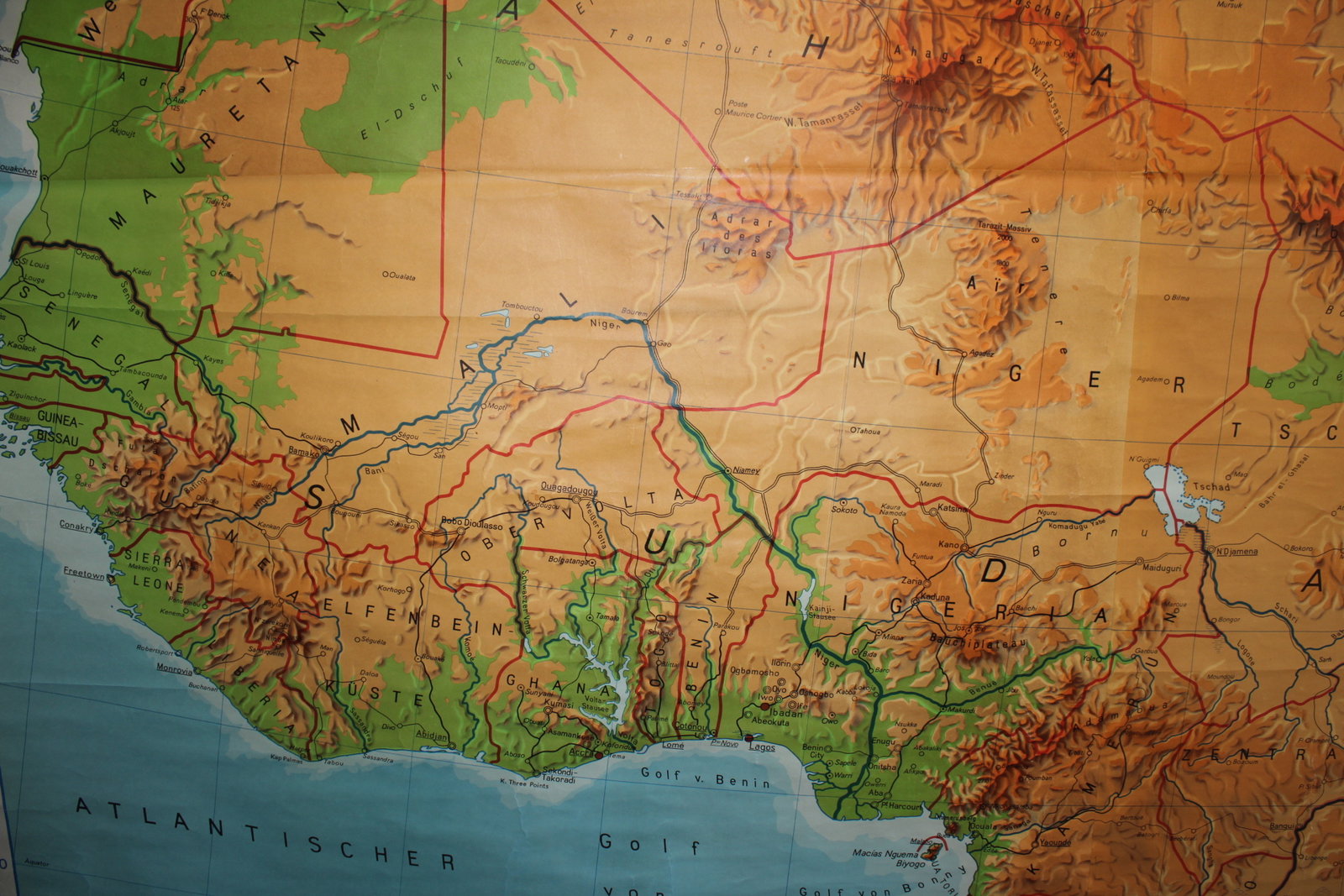
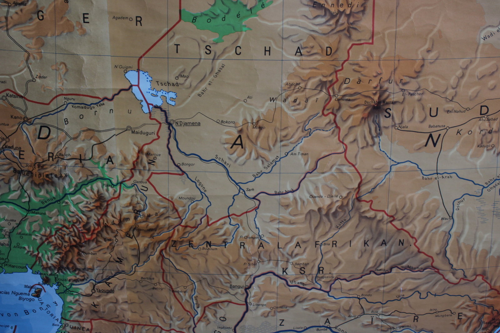
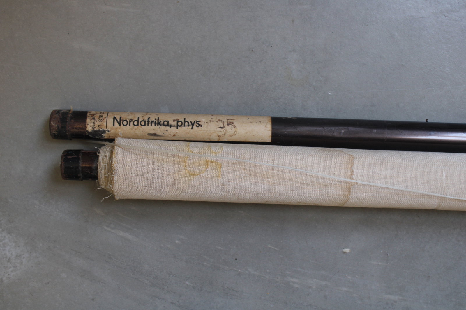
school map of North Africa
€85,00
- Description
A very large and colorful school map of 'NORDAFRIKA' (North Africa). A physical map showing elevations, mountain ranges, rivers, etc.
Dr. Hermann Haack, Gotha. Wall chart in relative good condition, with some minor damage and small tears. Has the characteristic scent of old school maps.
Height 175 cm, width 280 cm (including rods: 299 cm).
- Shipping Costs
- in store pick-up only