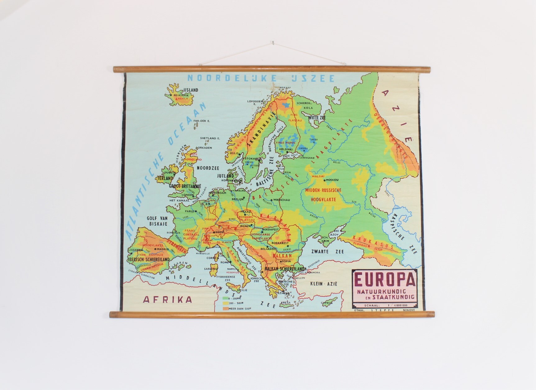
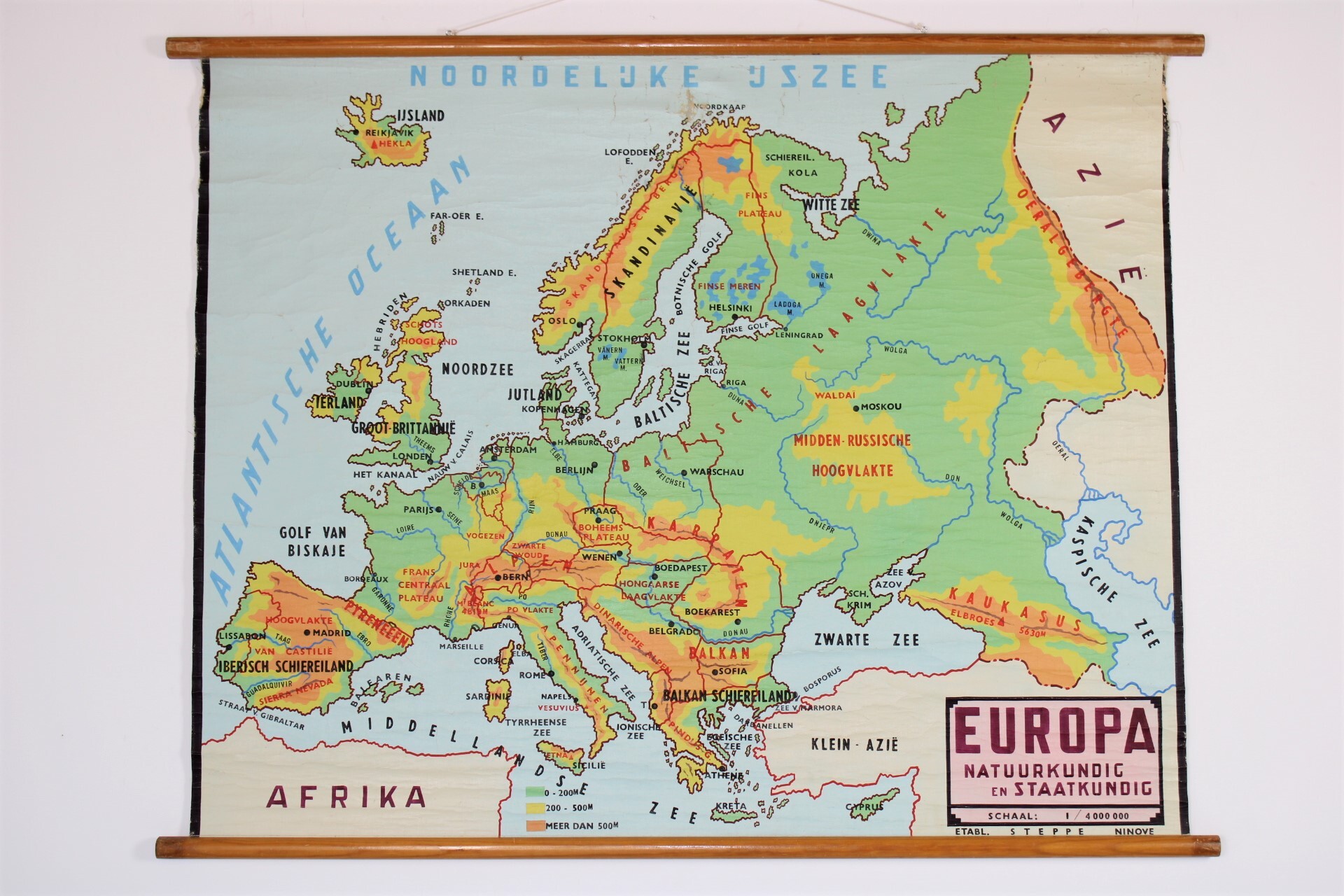
Old school map of Europe, 50's
Sold
Sorry, this product is not available anymore. Follow us on Facebook or subscribe to our newletter to discover our new arrivals.
- Description
Old school wall chart of Europe, 'Natuurkundig en Staatkundig'. From the 50's - 60's. With countries, mountains, rivers. Nice coulours. Edit.: Steppe -Ninove, Belgium. Some wear and damage, see pictures.
Dim: 139*116 cm.
- Shipping Costs
- Shipment possible or pick-up at the store