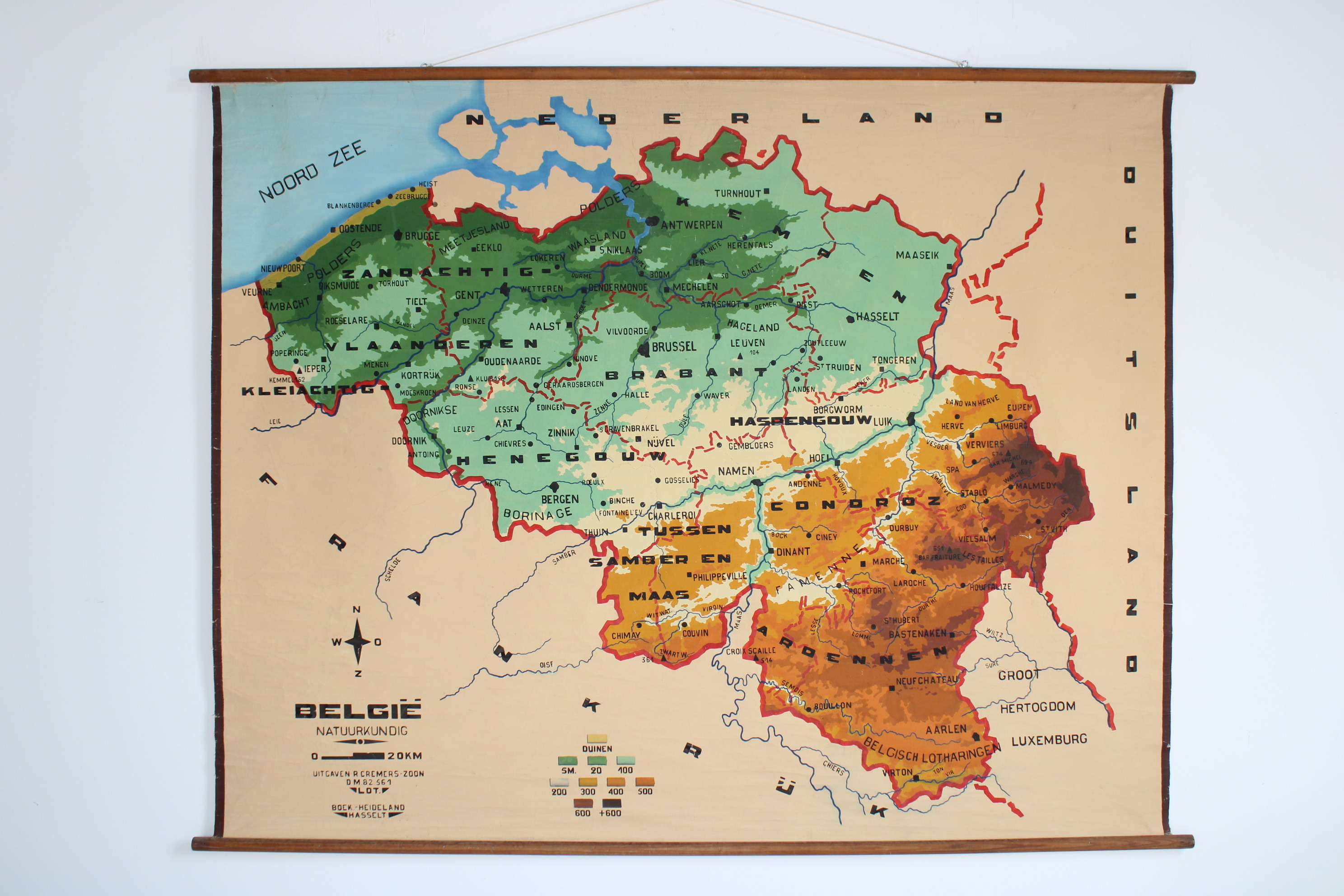
Old school map of Belgium
Sold
Sorry, this product is not available anymore. Follow us on Facebook or subscribe to our newletter to discover our new arrivals.
- Description
A large hand-drawed map of Belgium: 'natuurkundig'. From the 50's-60's. A wall chart with nice colours. Edit.: Cremers, Lot and distributed by boekhandel Heideland in Hasselt, Belgium.
Width: 194 cm (203 cm incl sticks), Height: 158 cm
- Shipping Costs
- in store pick-up only