
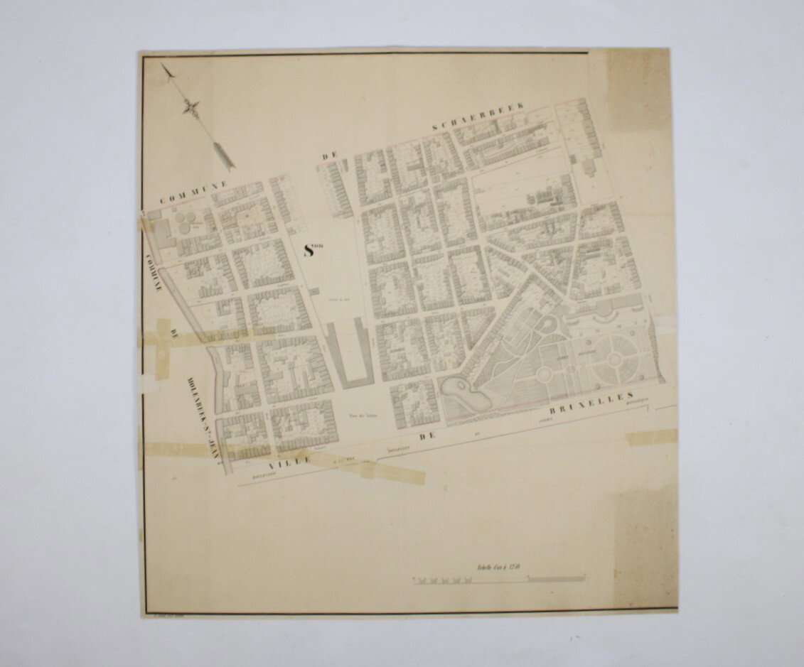
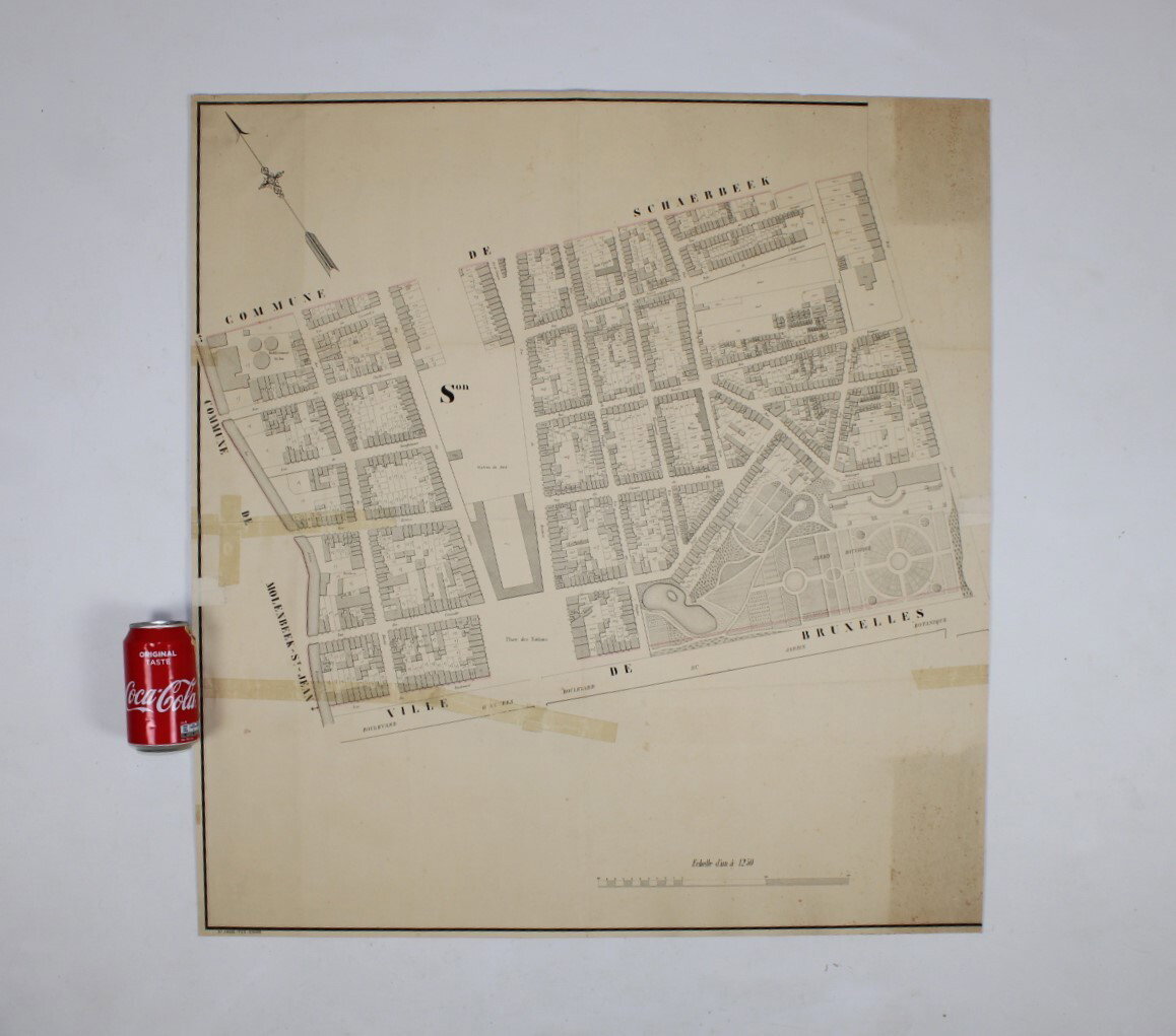
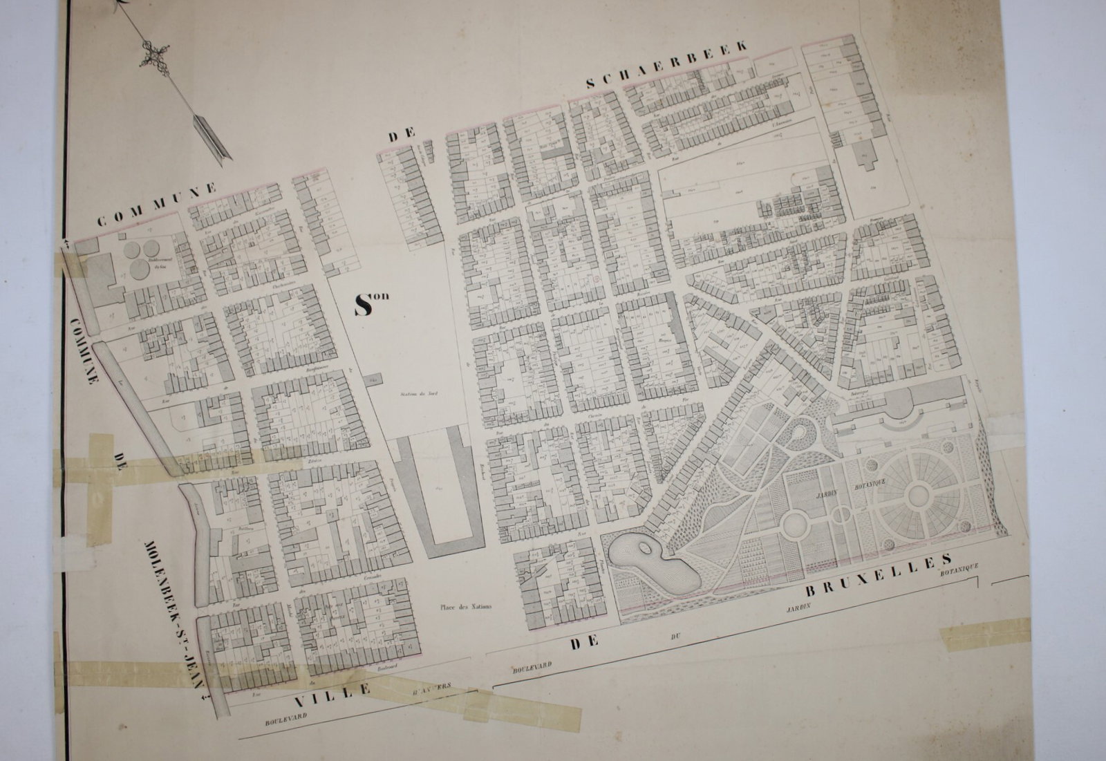
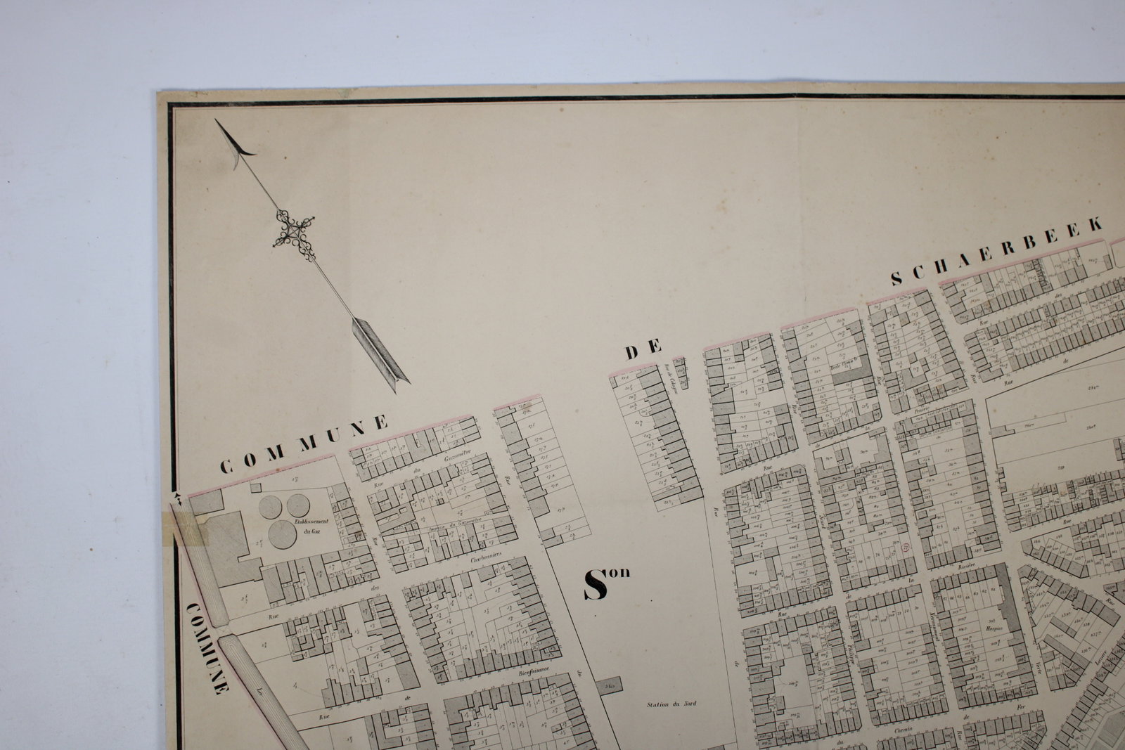
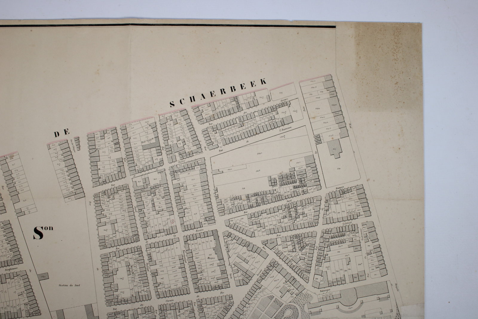
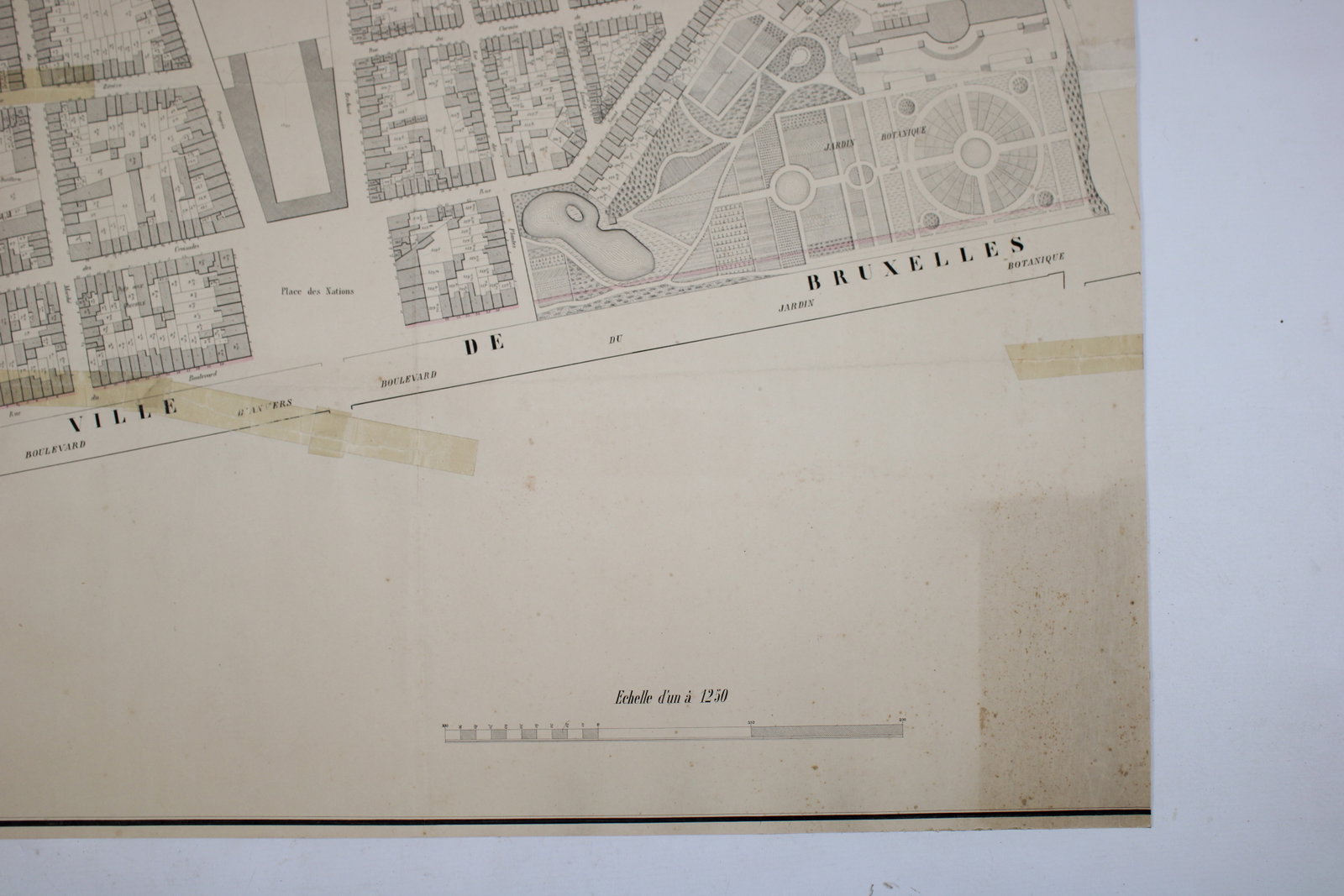
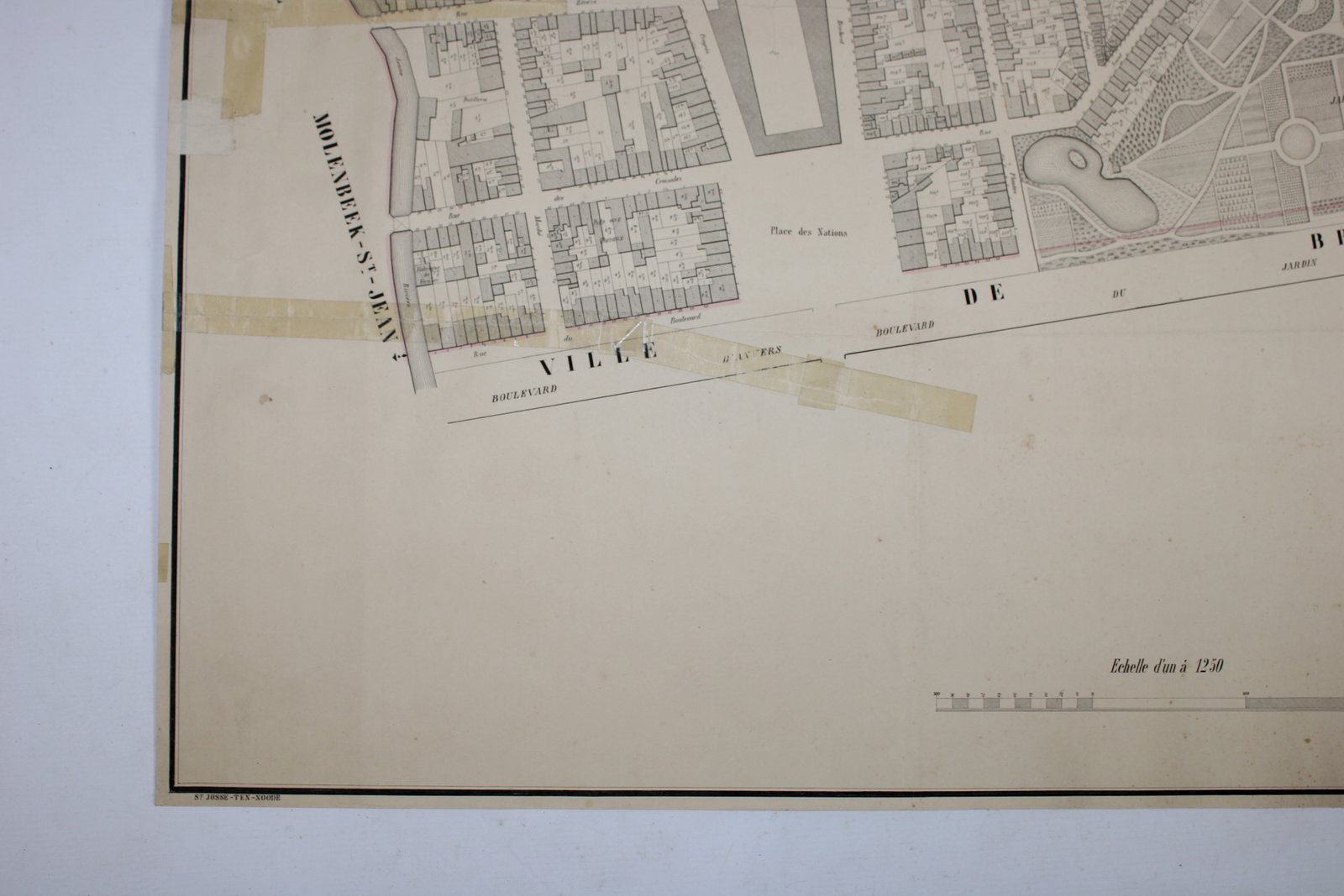
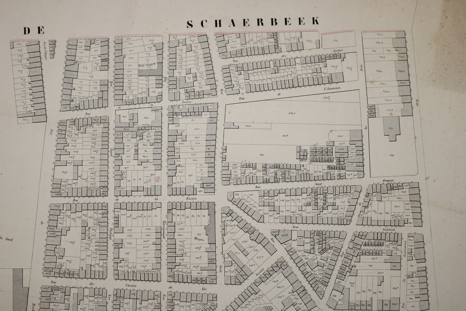
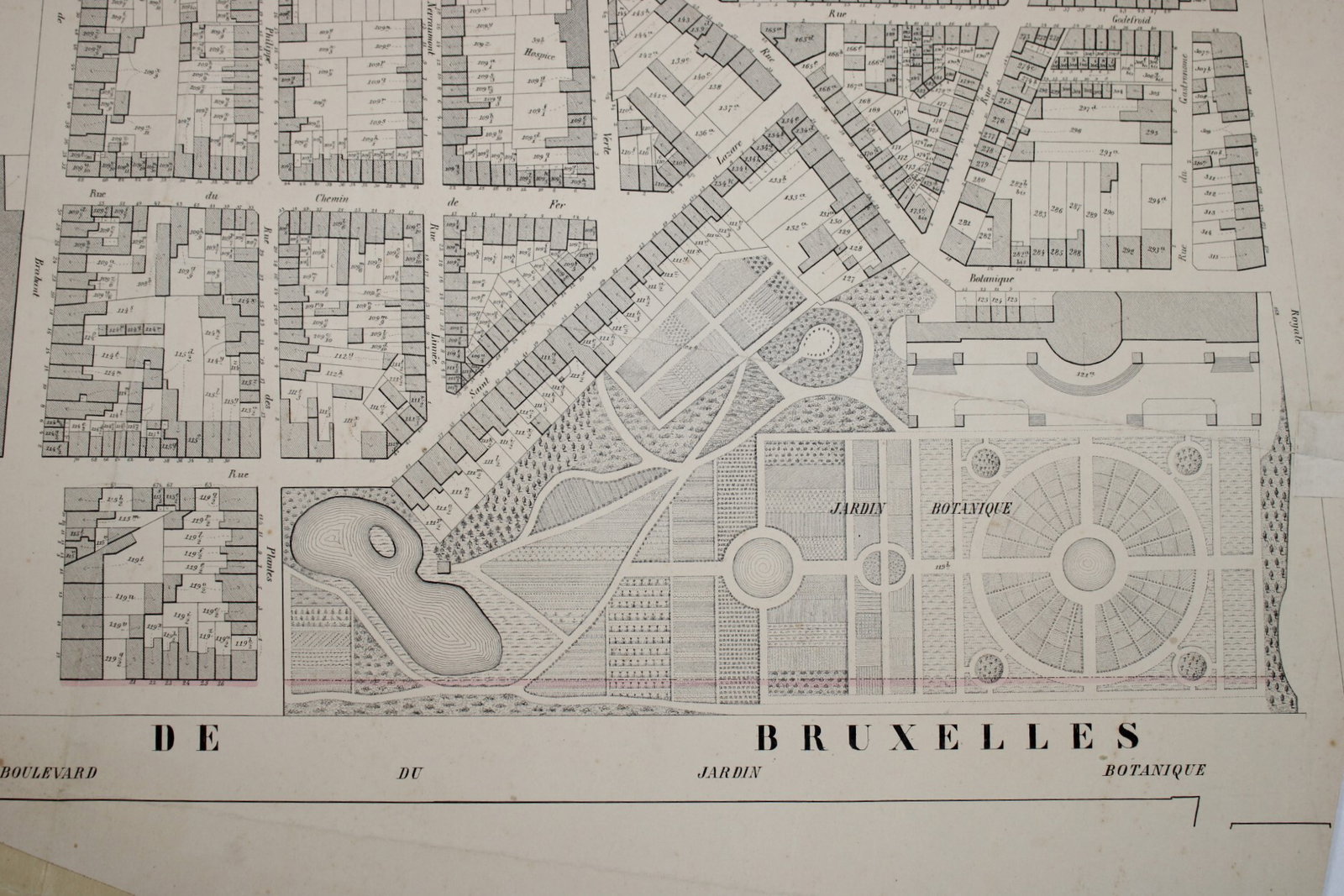
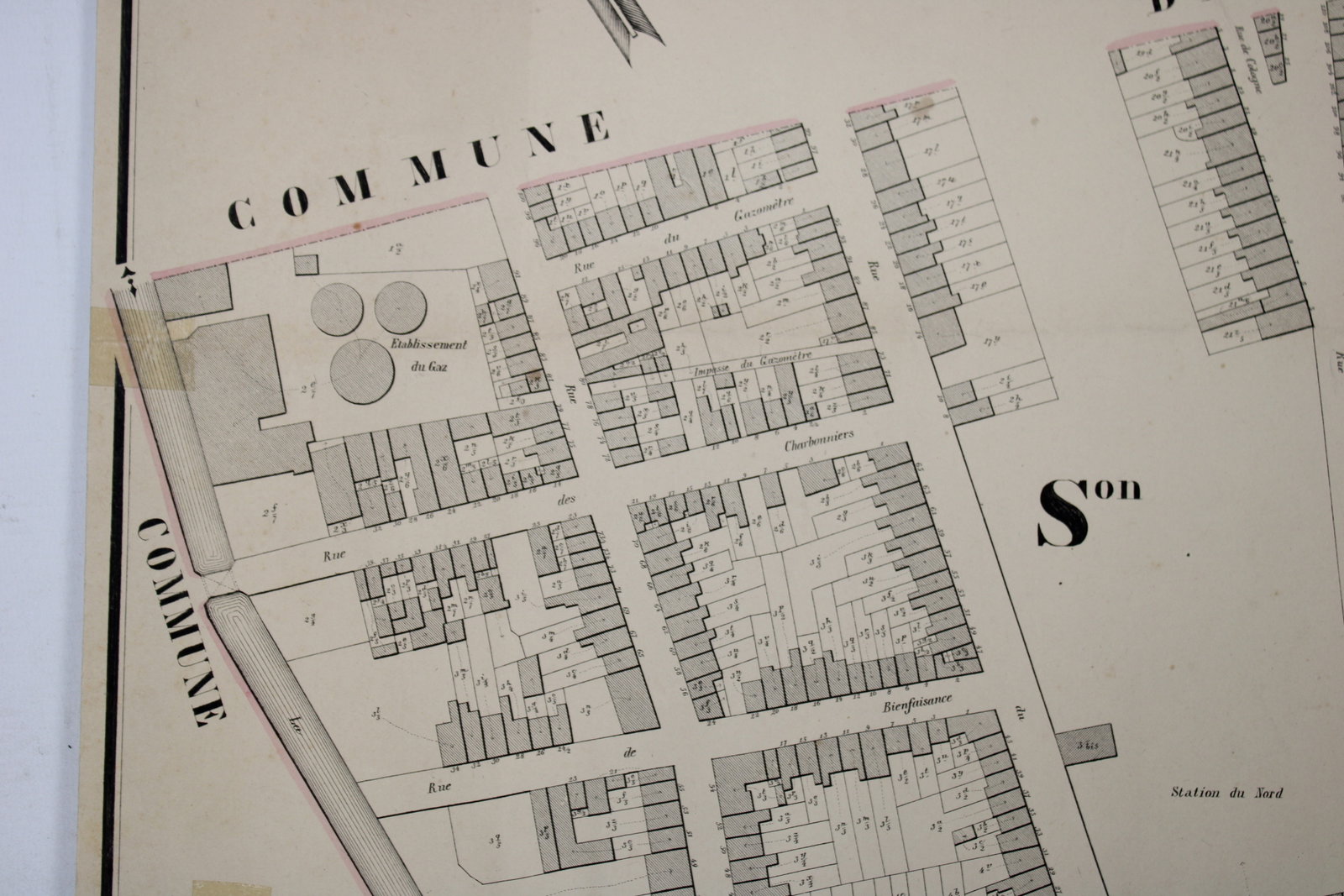
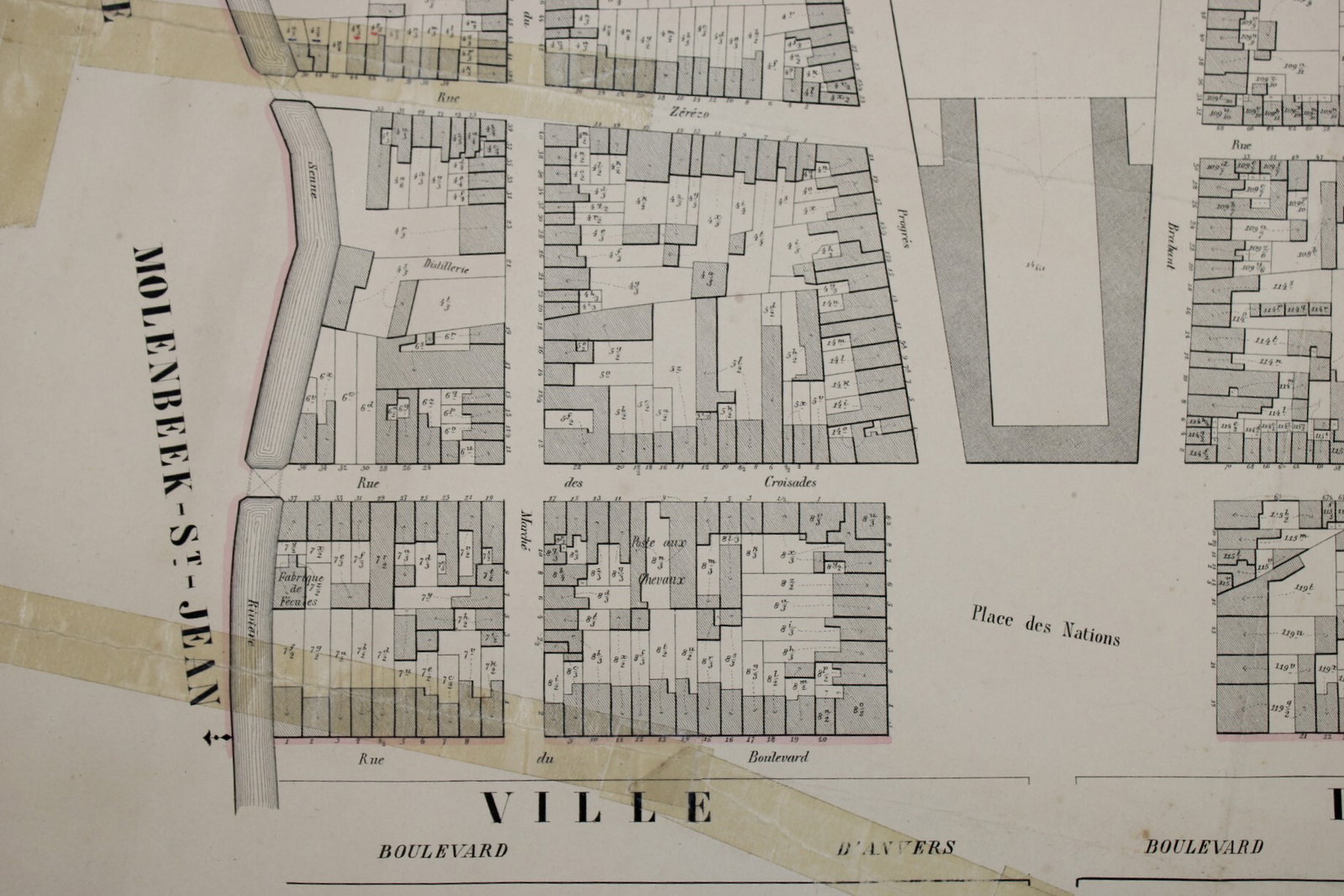
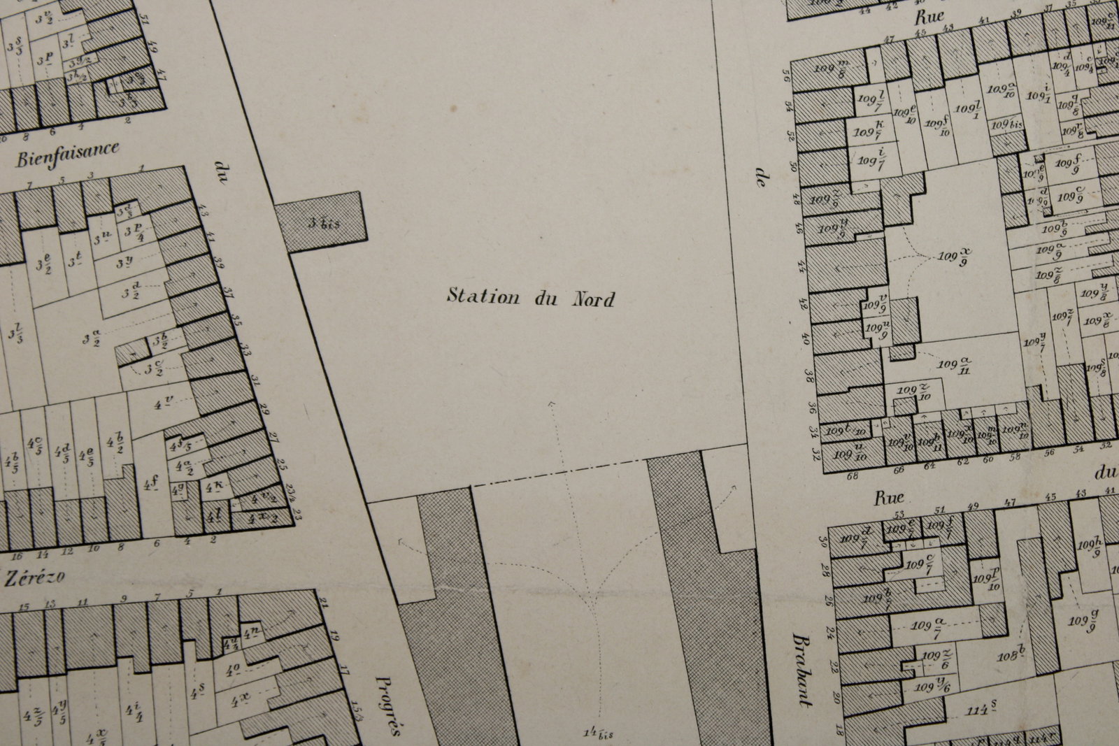
old map of Brussels incl. the Botanical Garden, 19th century
€220,00
- Description
A very old map of Brussels, covering the area around the North Railway Station and the Botanical Garden (Botanique). This is a cadastral map by P.C. Popp, dating from the second half of the 19th century. Philippe-Christian Popp (1805–1879) initiated an ambitious project—receiving official authorization in 1842—to produce cadastral maps for every municipality in Belgium: the 'Atlas Cadastral de Belgique'. These maps from the 'Atlas Cadastral' were used by notaries and land surveyors and represent some of the earliest cadastral maps. They provide a highly detailed depiction of individual plots and buildings. In used condition, with some signs of damage.
Dimensions: 74.5 × 79 cm.
- Shipping Costs
- Shipment possible or pick-up at the store