
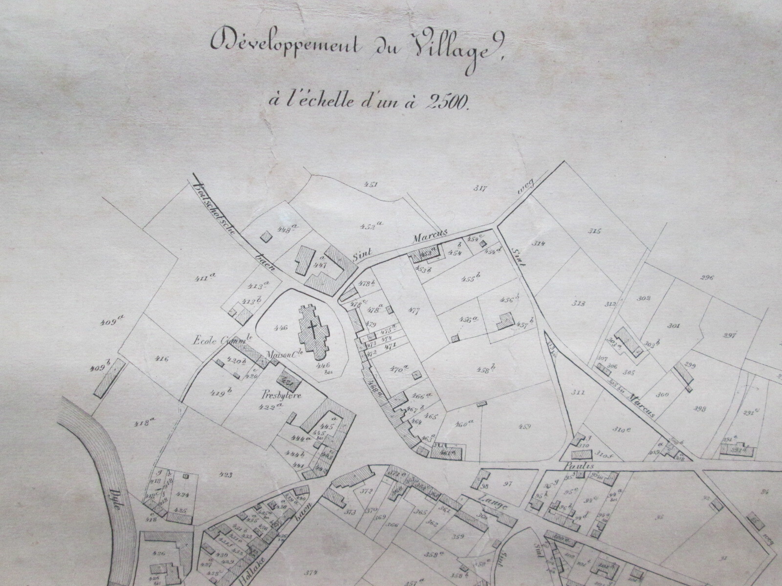
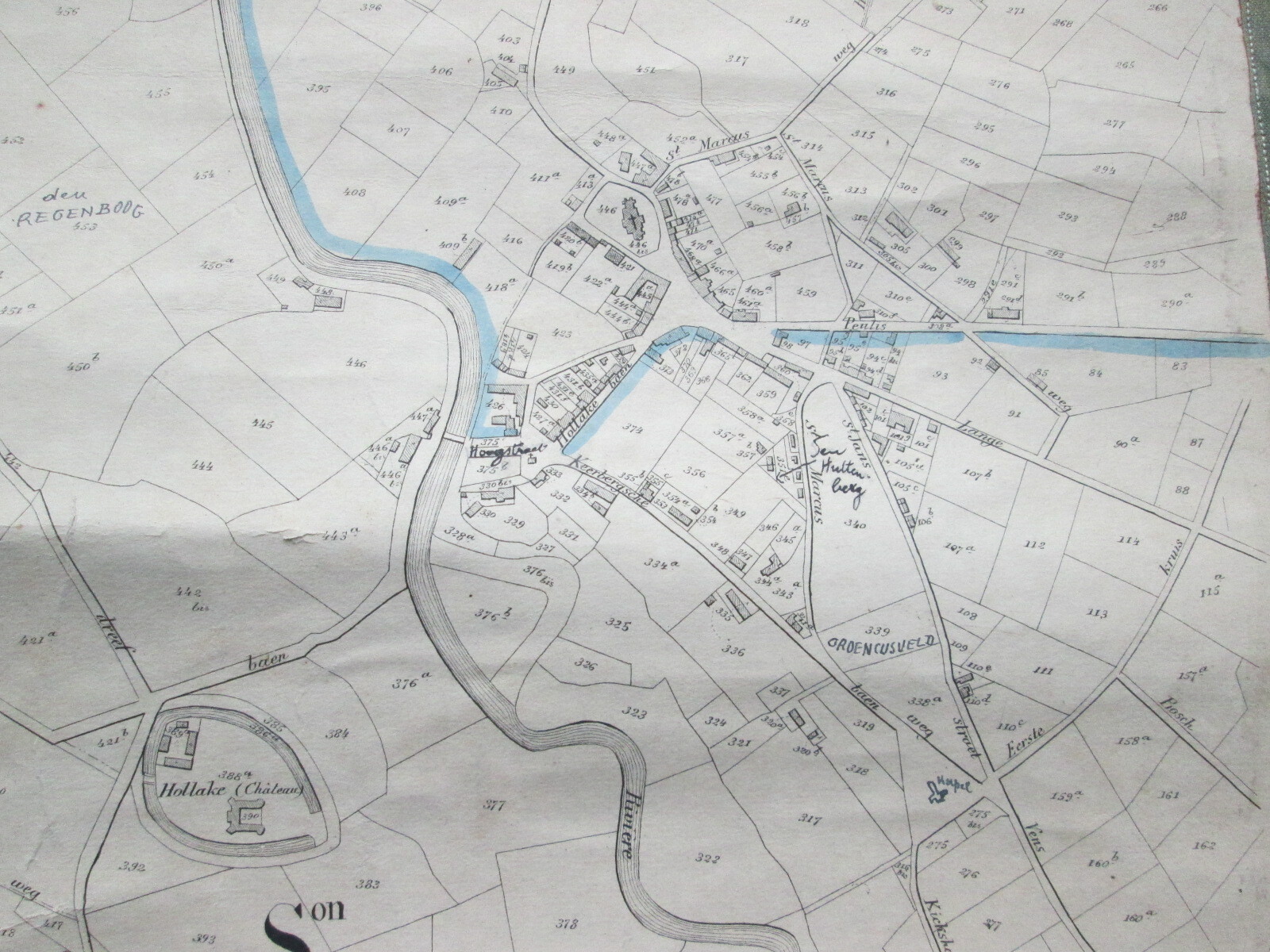
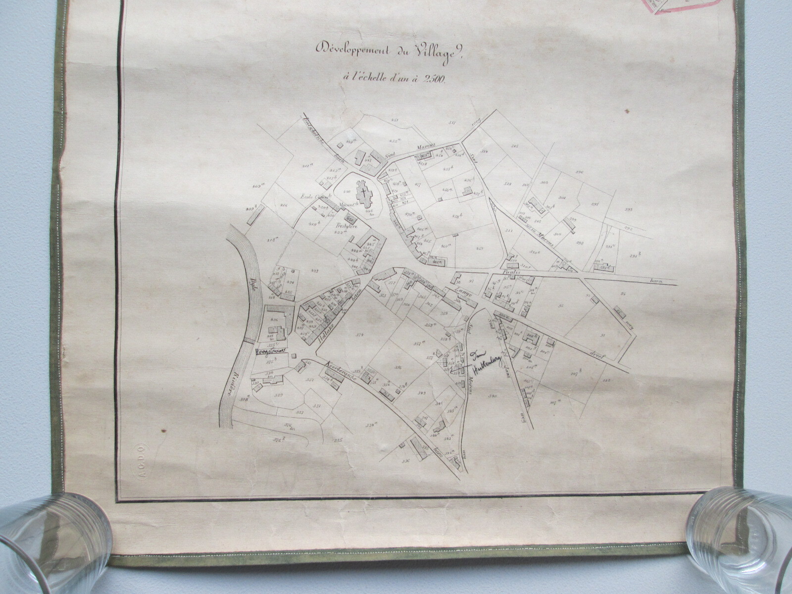
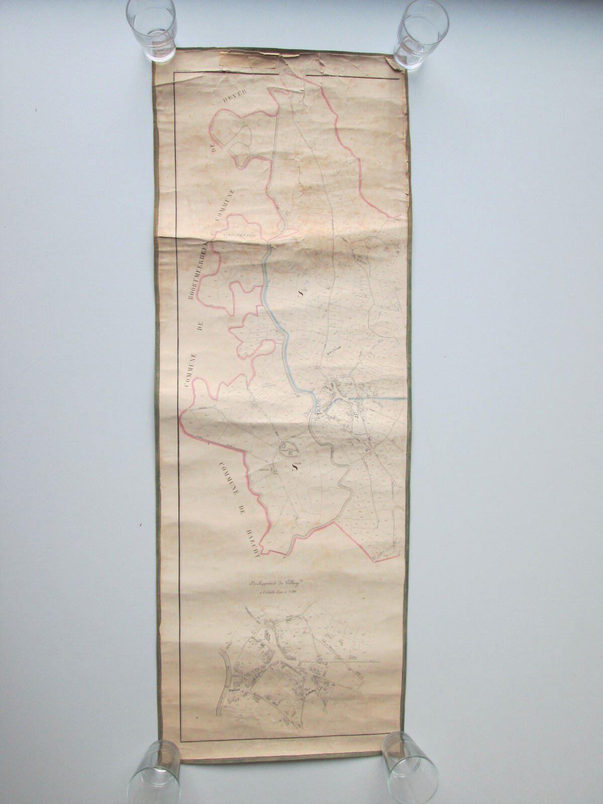
antique map of Rijmenam (West, 2)
Sold
Sorry, this product is not available anymore. Follow us on Facebook or subscribe to our newletter to discover our new arrivals.
- Description
Antique chart/map of Rijmenam, made by P.C. Popp. Second half 19th century. Paper on linen. West part of Rijmenam, also East part available.
40 * 111 cm
- Shipping Costs
- Shipment possible or pick-up at the store