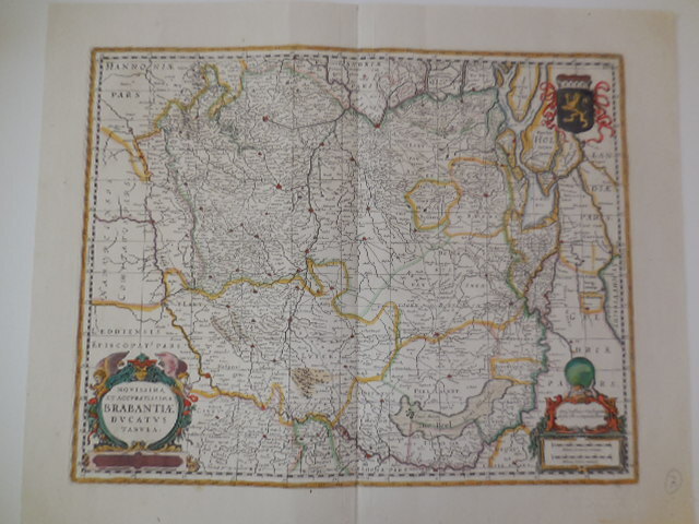
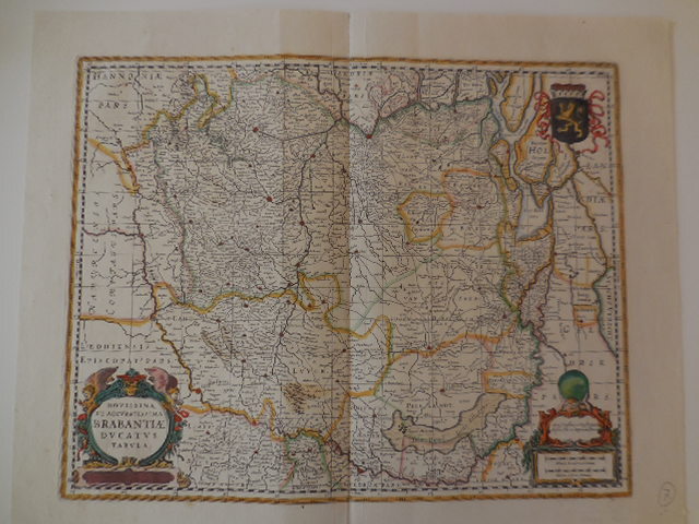
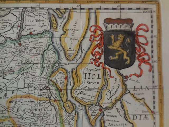
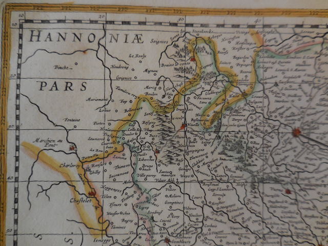
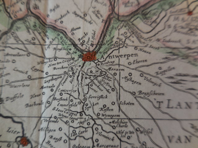
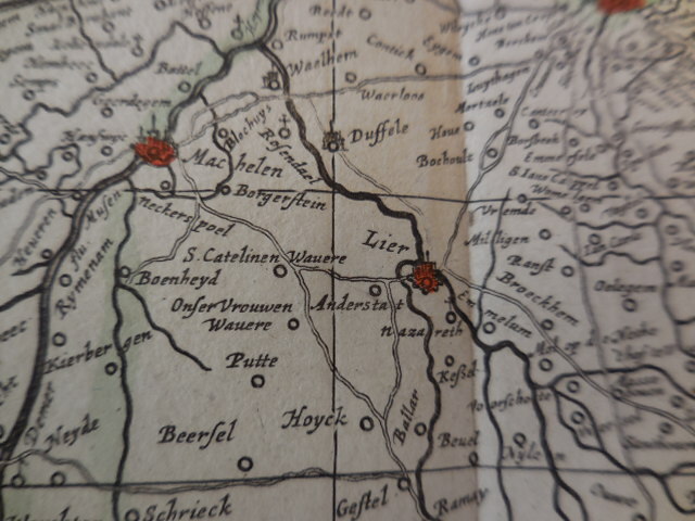
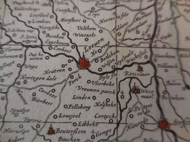
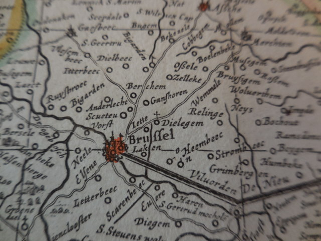
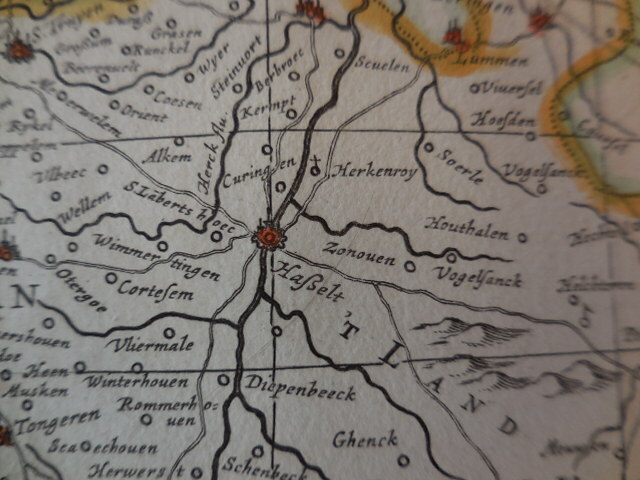
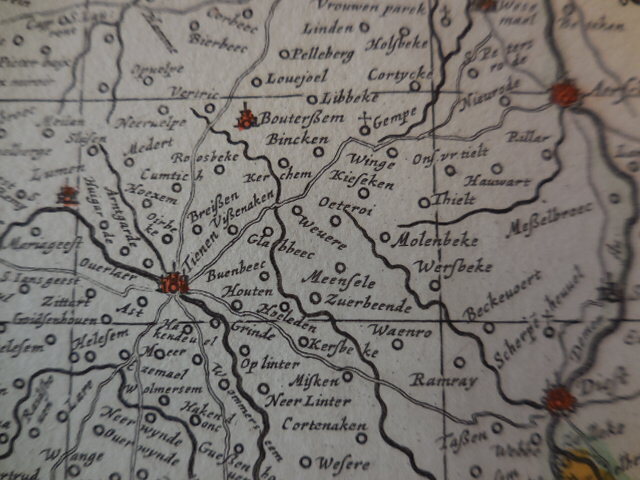
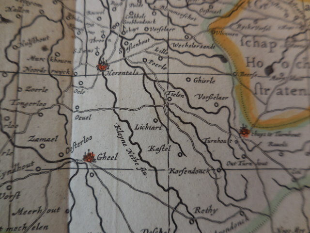
antique map of Brabant, 1680.
€375,00
- Description
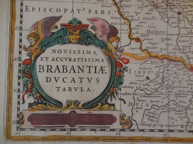
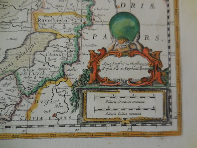
Colored map “Novissima et Accuratissima Brabantiae Ducatus Tabula”. Printed by Johannes Janssonius van Waesbergen, Moses Pitt en Stephan Swart. London 1680. In good shape.
47*58 cm.
- Shipping Costs
- Shipment possible or pick-up at the store