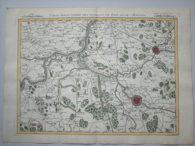
antique map of Brabant +/- 1750
Sold
Sorry, this product is not available anymore. Follow us on Facebook or subscribe to our newletter to discover our new arrivals.
- Description
Region of Mechelen (between Brussels and Antwerp) around 1750. 'carte particulière des environs de Lier et de Malines'.paper: 26*36 cm, print: 23,5*32 cm, map: 22,5*30,5 cm
23,5*32 cm
- Shipping Costs
- Shipment possible or pick-up at the store